Tolne Nature Park
Hiking trails, adventures and places to eat
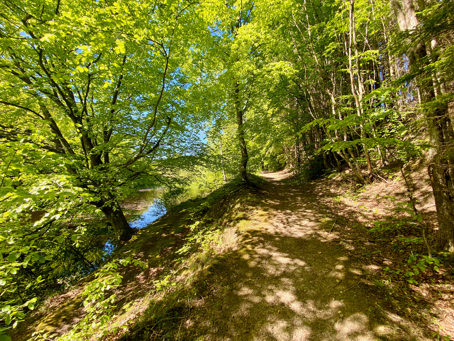
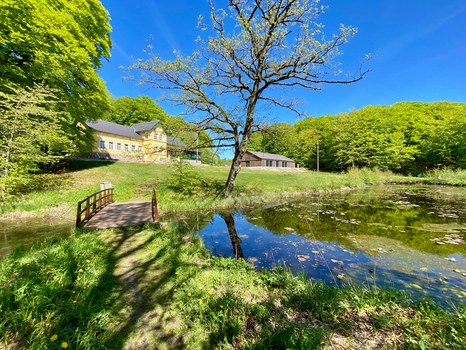
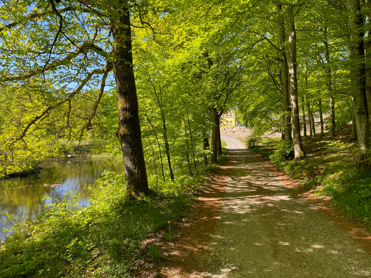
Tolne Nature Park
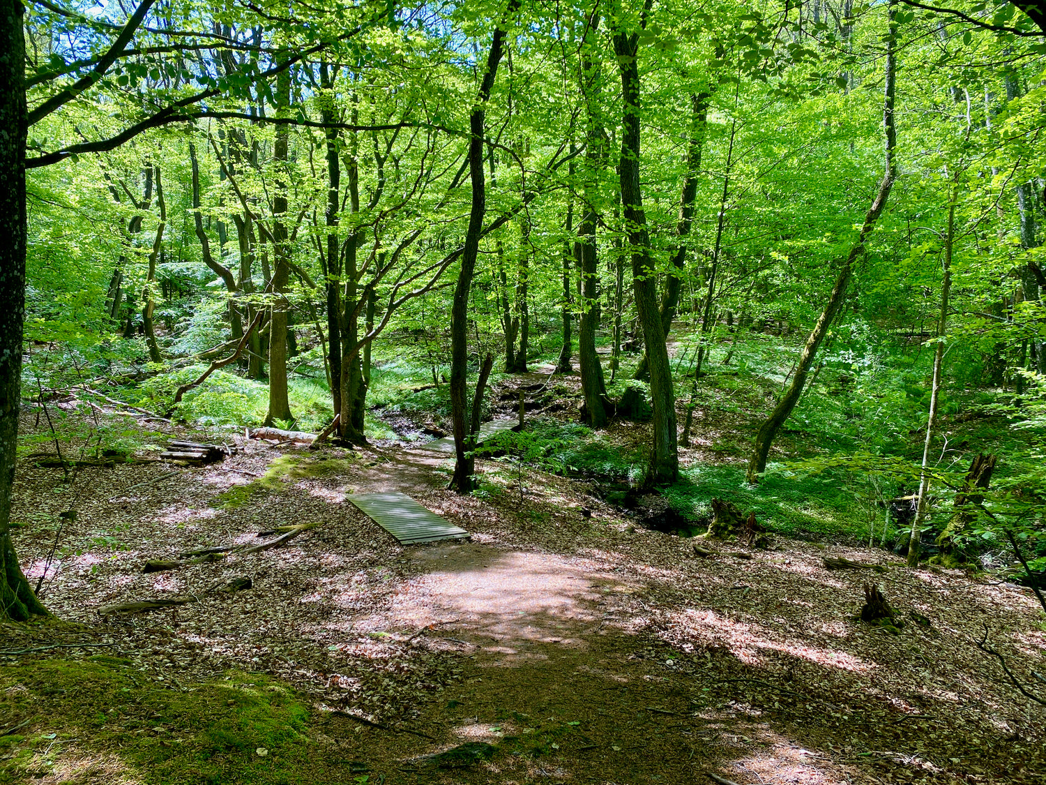
The park stretches through a hilly Ice Age landscape, where old deciduous forests and open natural areas form a beautiful mosaic, home to a wealth of rare plants and insects.
150 years ago the area was largely open, with trees only on steep slopes and around farms. Today, most of the park is covered with trees, but there are still large areas of grassland and heath that are home to rare plants and insects.
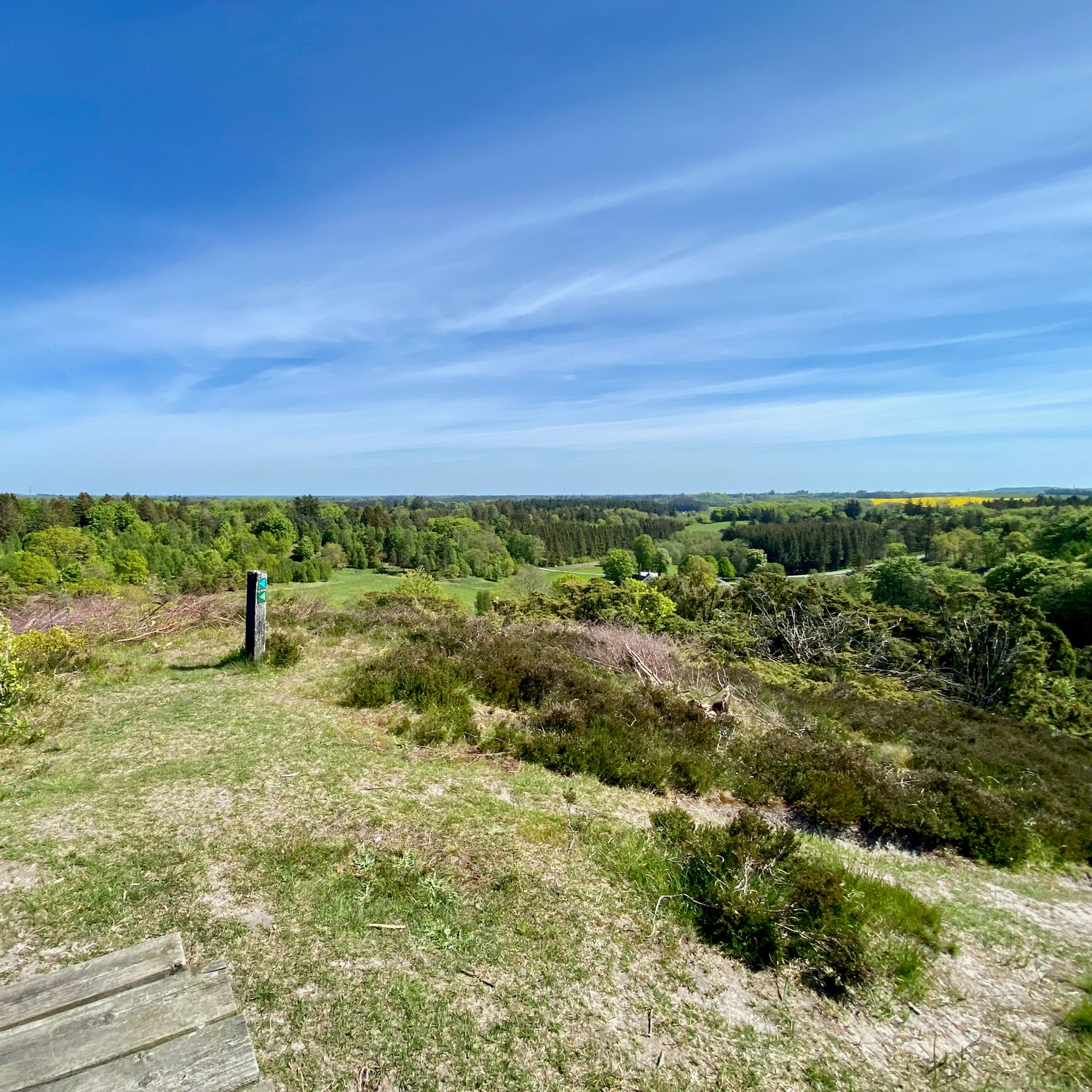
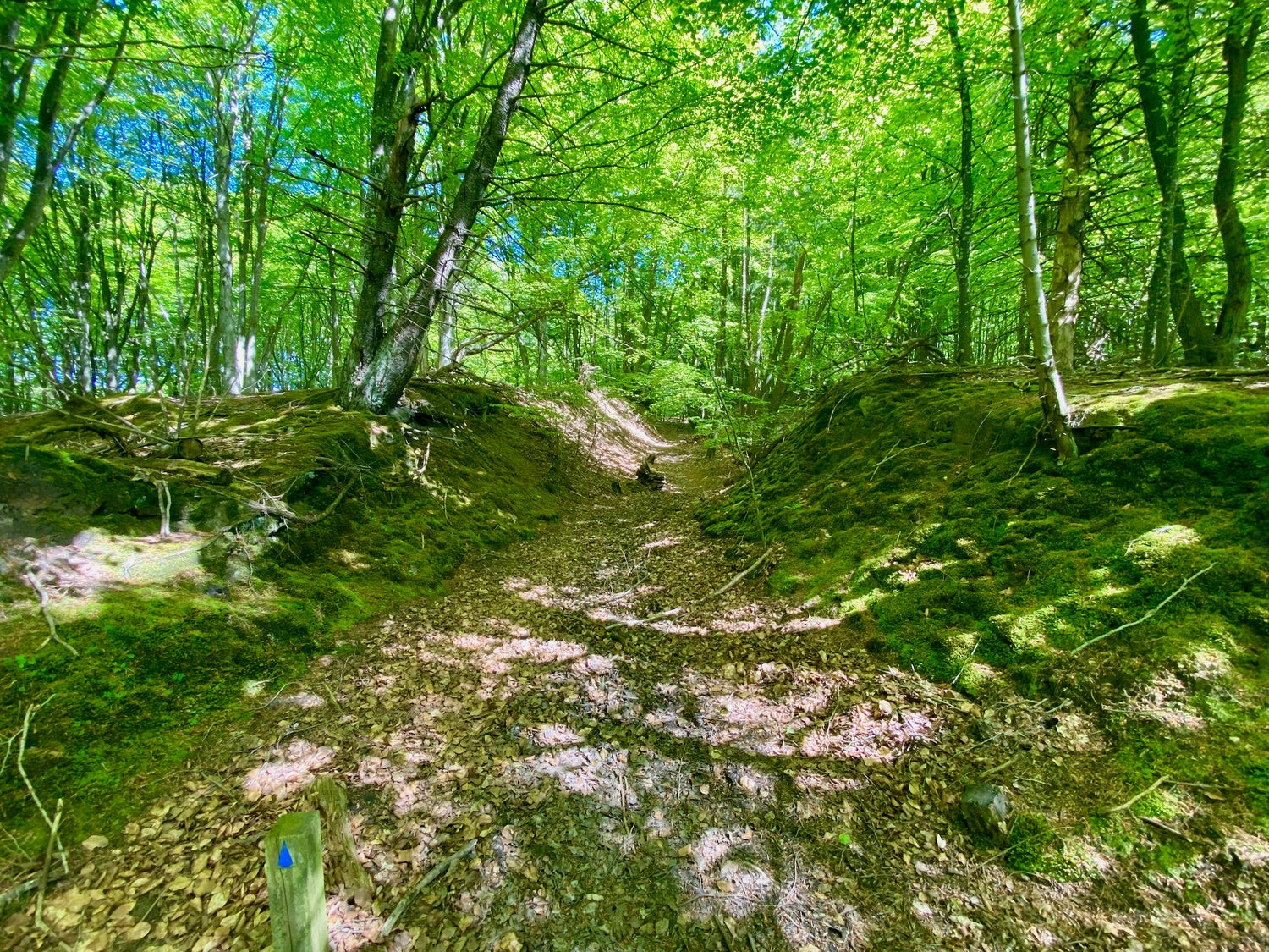
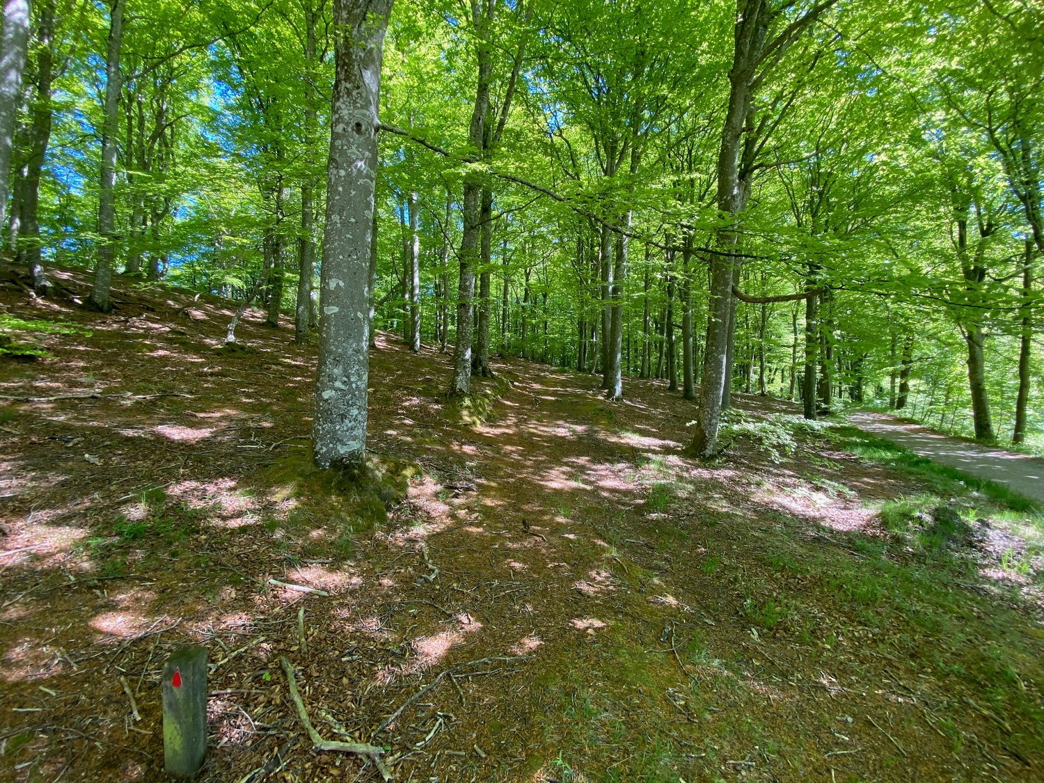
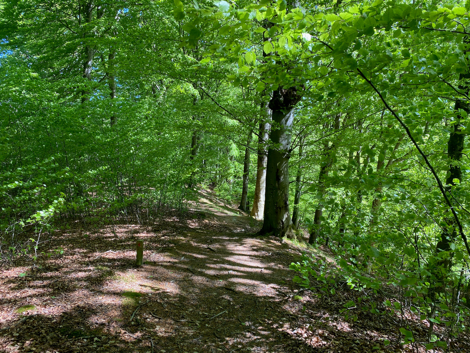
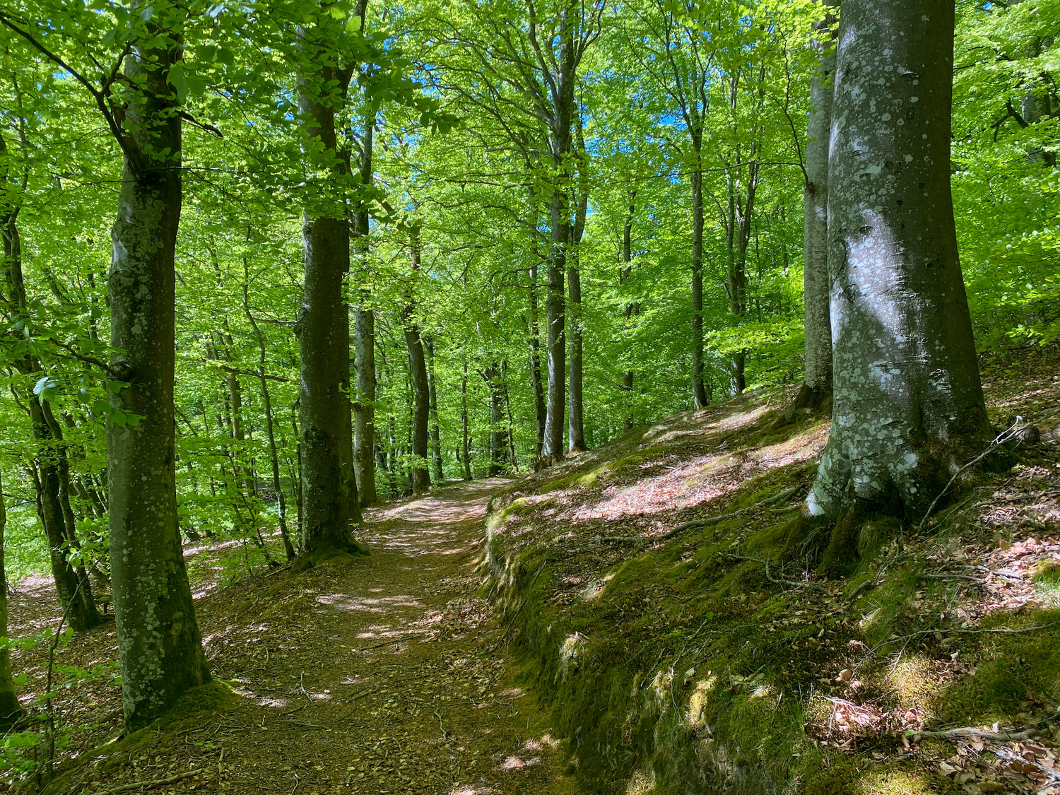
Tolne Bakker, a Natura 2000 area, is the heart of the nature park. Over 200-year-old beech trees grow here and the area is home to a rich biodiversity of birds, insects and mosses. Here you can enjoy the dramatic contrasts between the hilly landscapes and the flat terrain to the north.
The northern part of the park offers cultural-historical gems such as the many burial mounds at the Landscape and Agricultural Museum at Mosbjerg. In the southern part there are large grasslands and heaths, including the old military area Brinkhus and the protected Katsig Bakker.
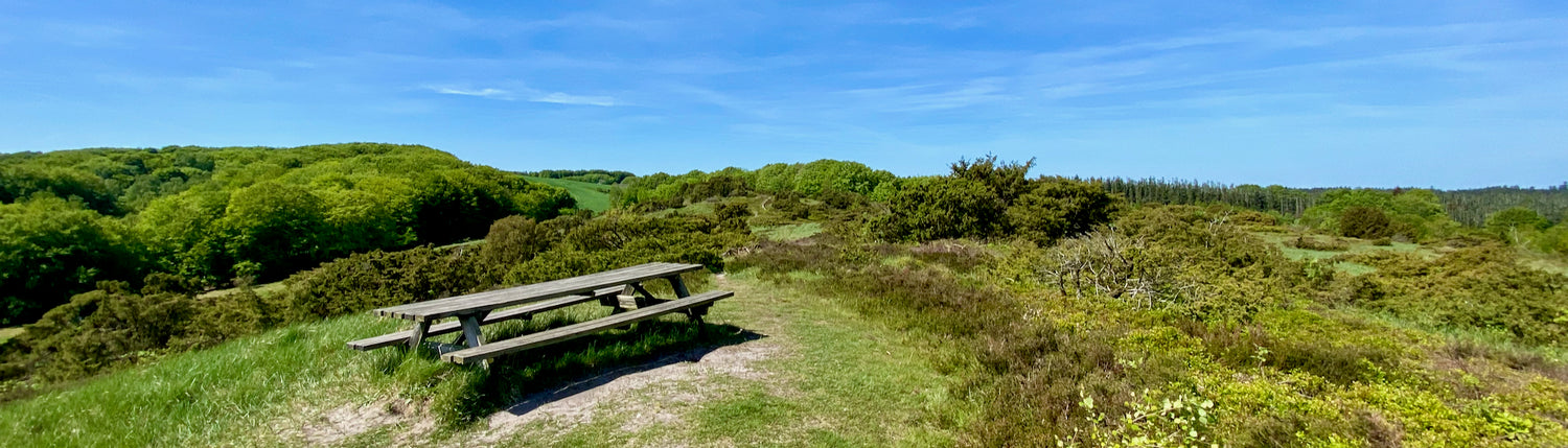
Skovpavillonen, a historic meeting place, is located in the middle of Tolne Skov and is a popular meeting place.
Katsig Bakker
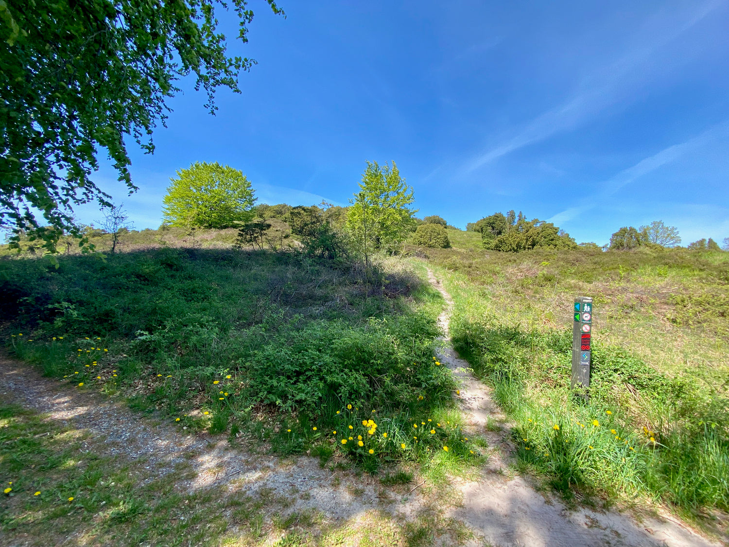
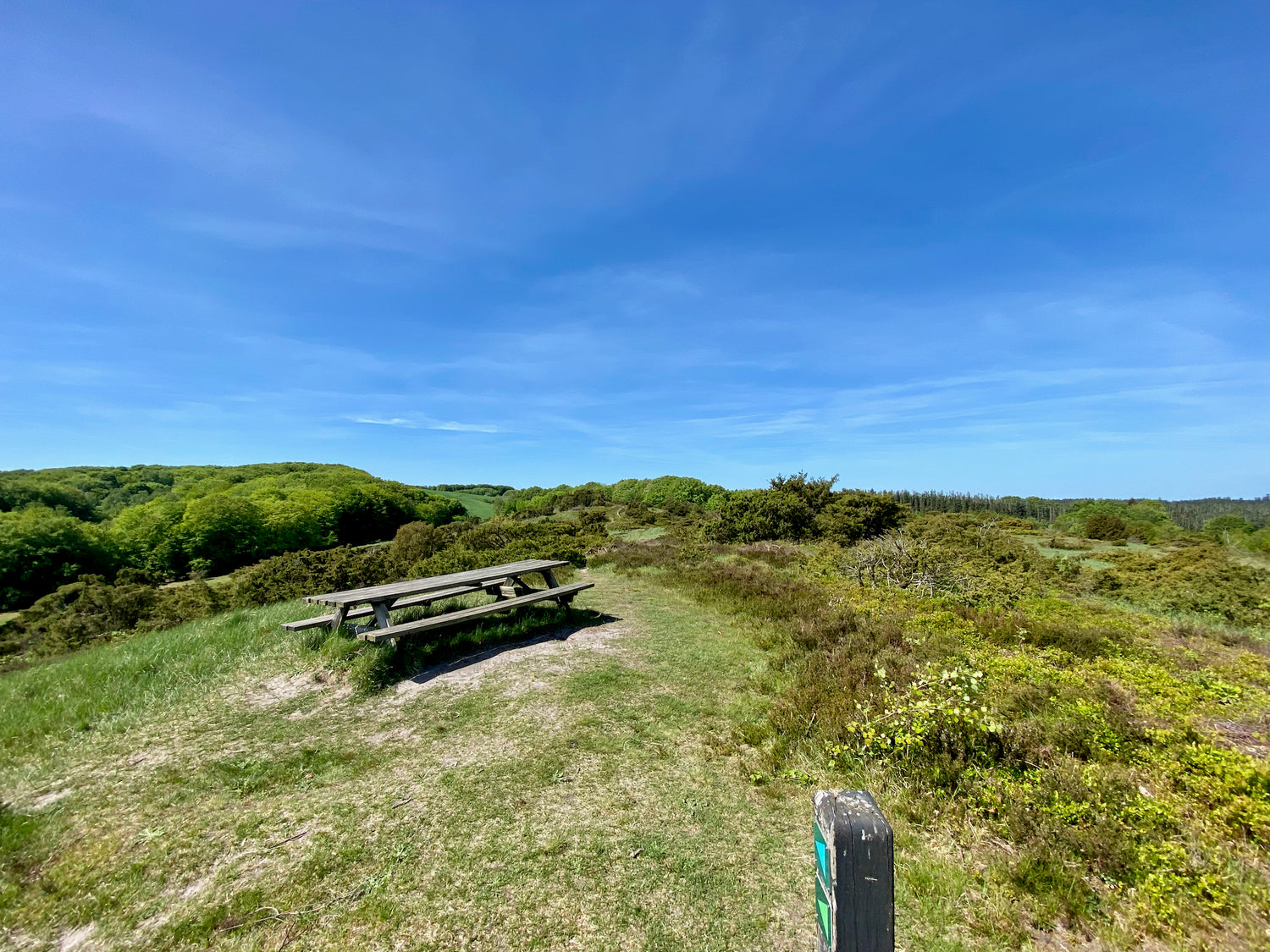
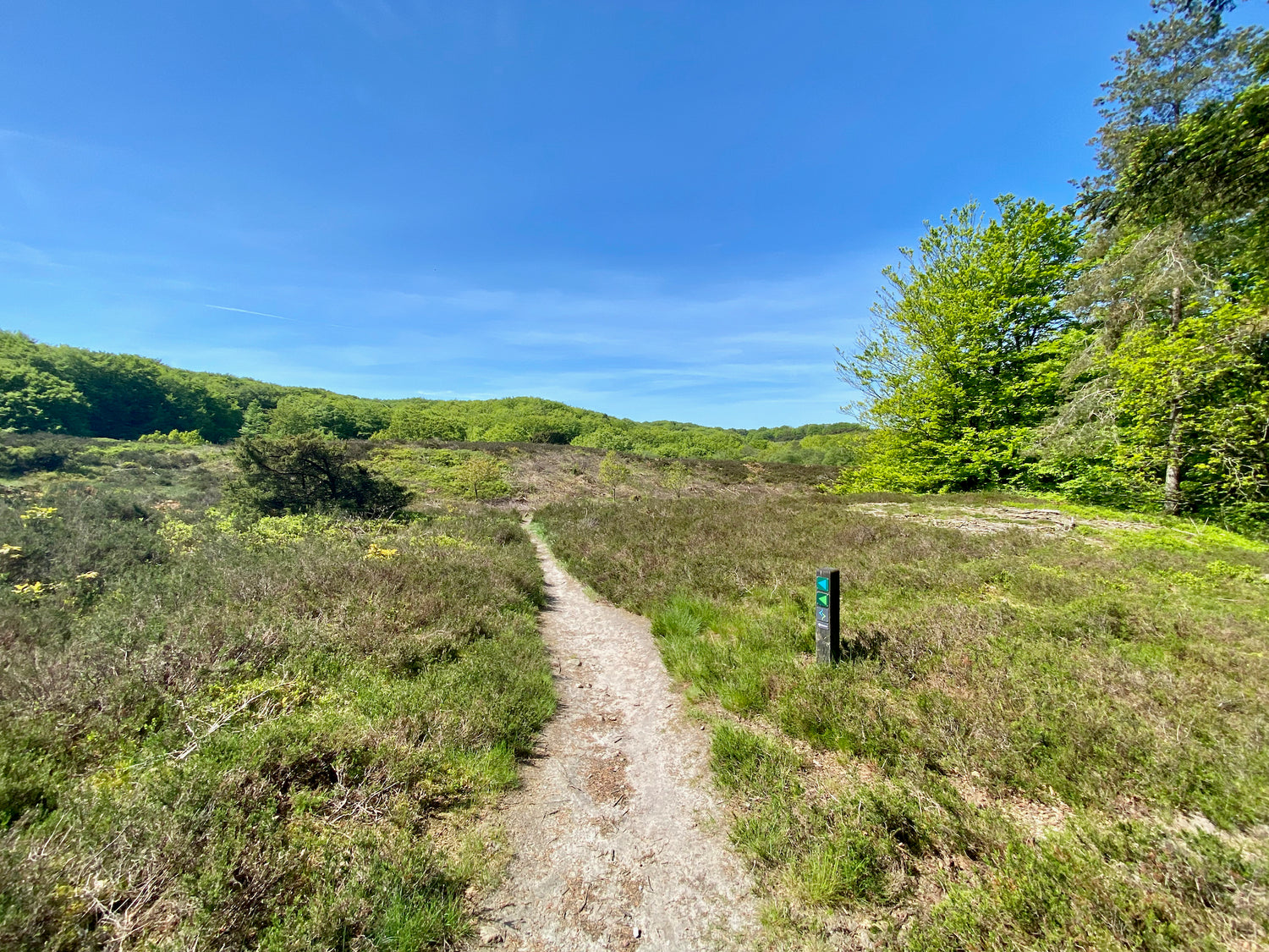
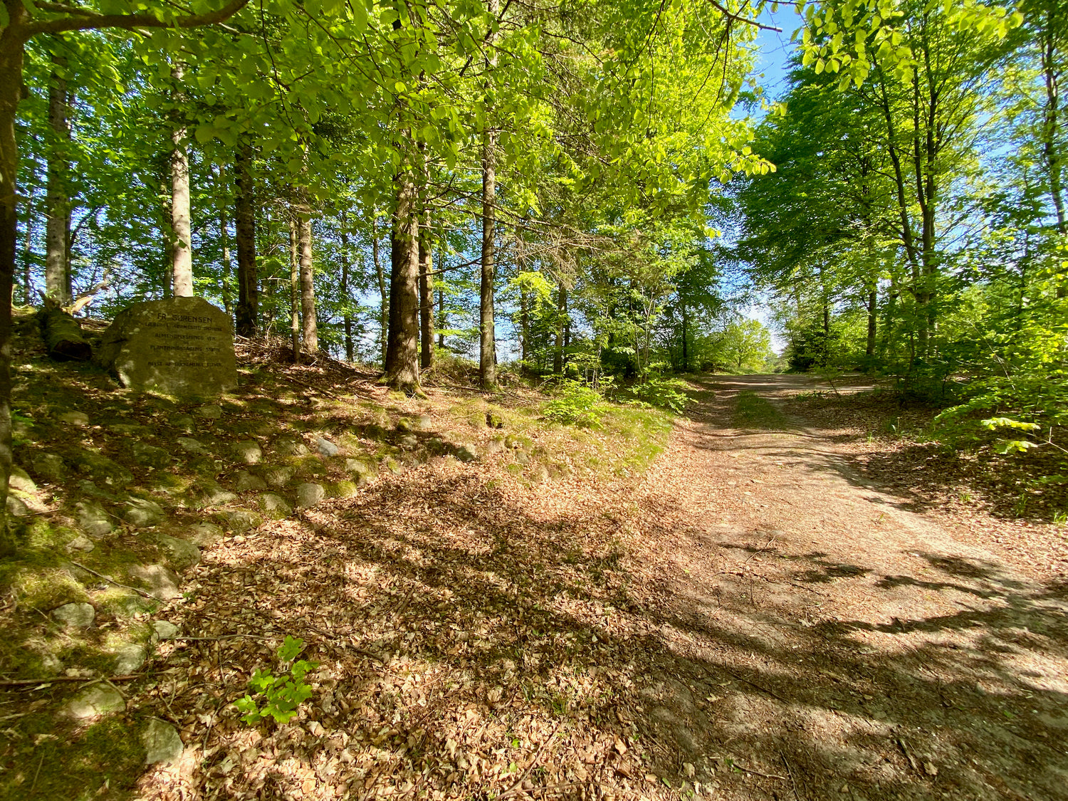
Katsig Bakker is a versatile area rich in nature and cultural heritage. The terrain varies significantly, which creates good opportunities for different experiences. It is particularly known for its berries, including blueberries, lingonberries and junipers, which enrich the hike in the beautiful hilly landscape, which also offers a fantastic view over Vendsyssel.
The unique nature of the area is probably due to the fact that it has never been intensively used for agriculture. Scrub areas and beech hills have traditionally been used as fuel and small timber for local agriculture, while part of the meadows and heaths were probably used for grazing or haying.
Historically, the eastern part of the area was planted in the 1920s onwards for traditional forestry, which was also used to employ the unemployed during the Depression of the 1930s. In 1935, the western part was protected and handed over to Frederikshavn Municipality with a provision to preserve it as a recreational area for the municipality's citizens.
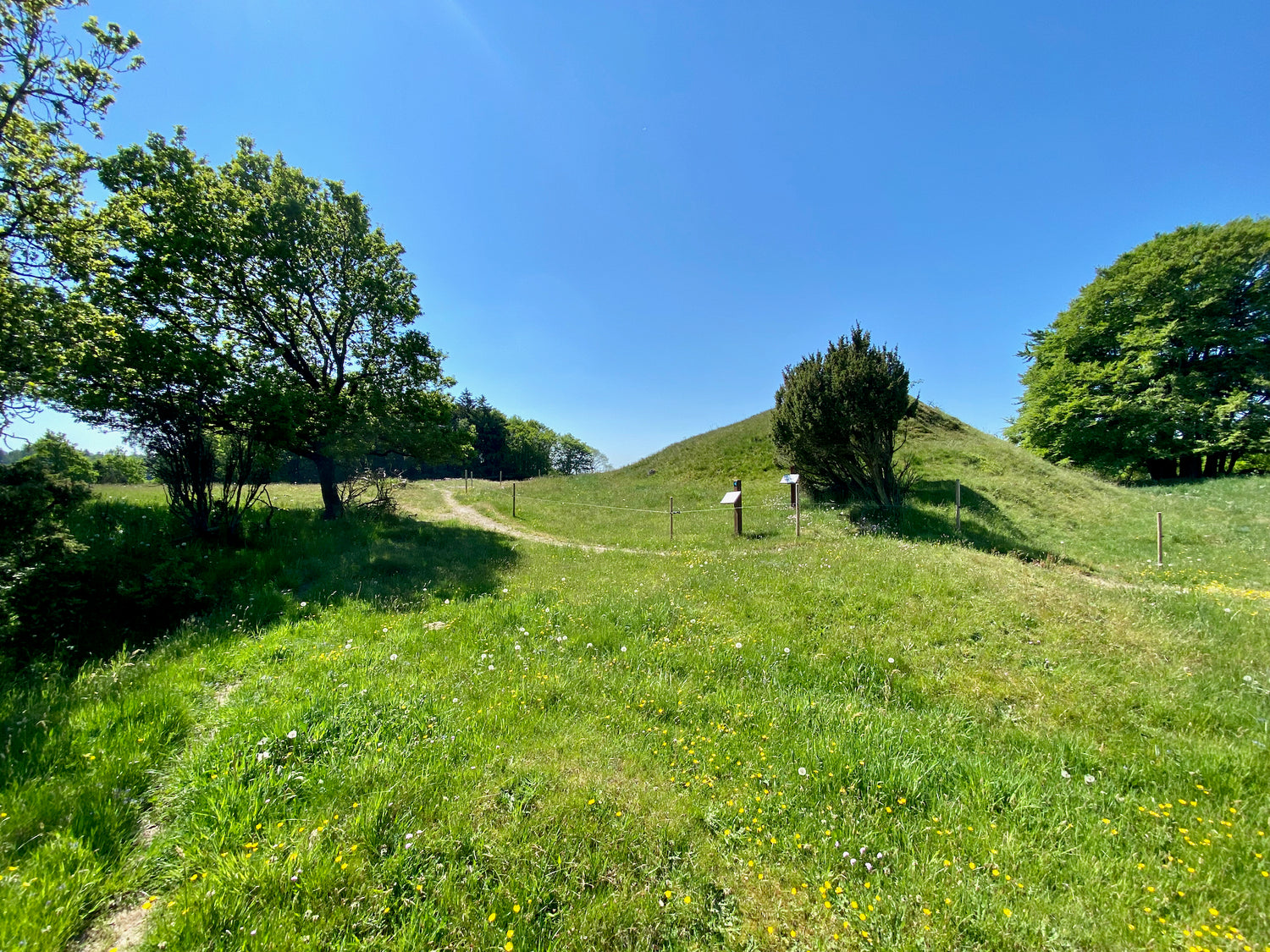
Katsig Bæk, which cuts down through the heather hills, is protected and also serves as the border between Frederikshavn and Hjørring Municipality. The eastern part houses two historical monuments: Skt. Jørgens Kilde and a Stone Age burial mound that bear witness to the area's history and cultural heritage.
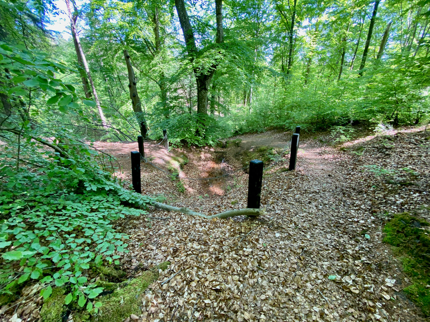
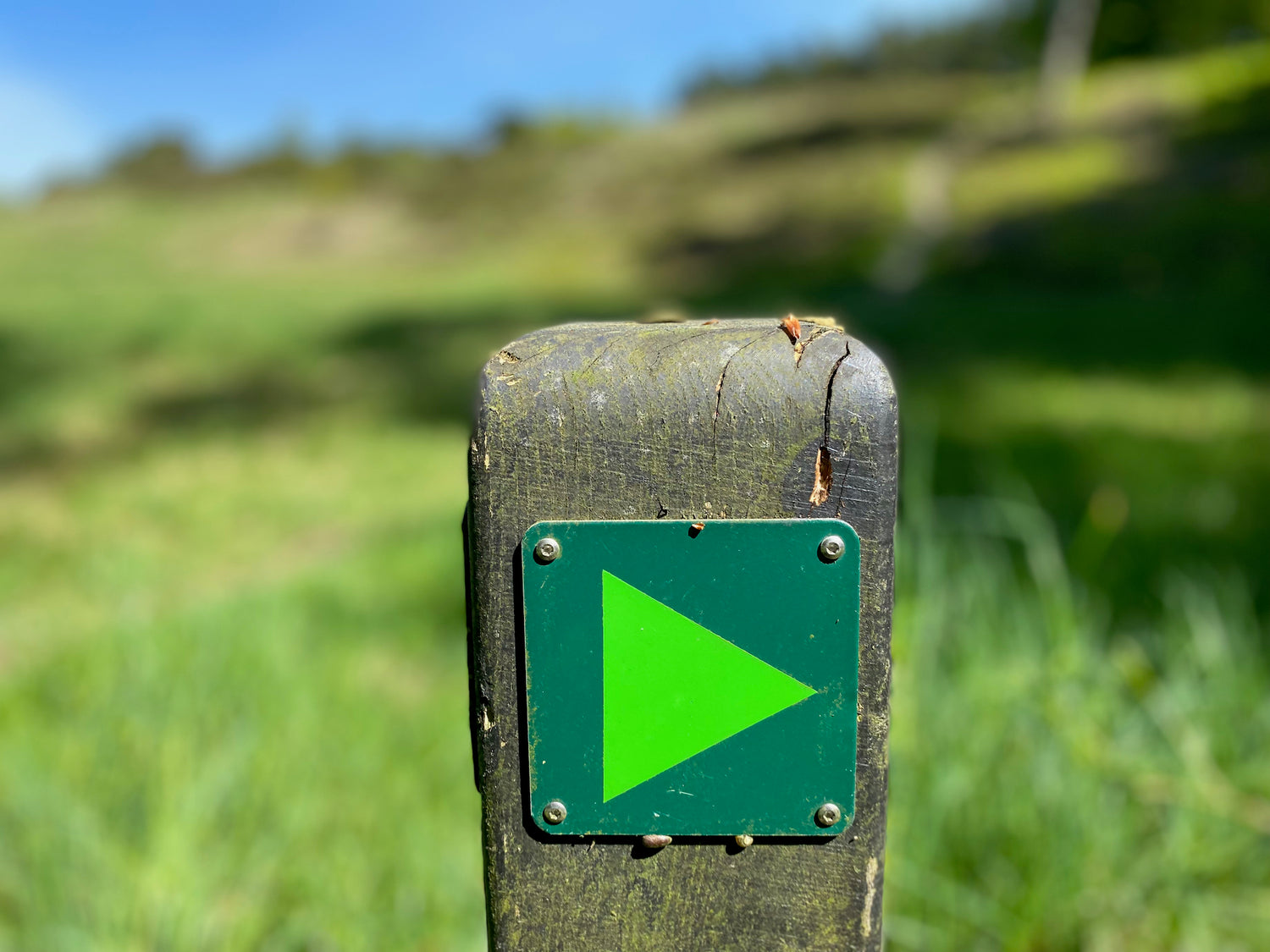
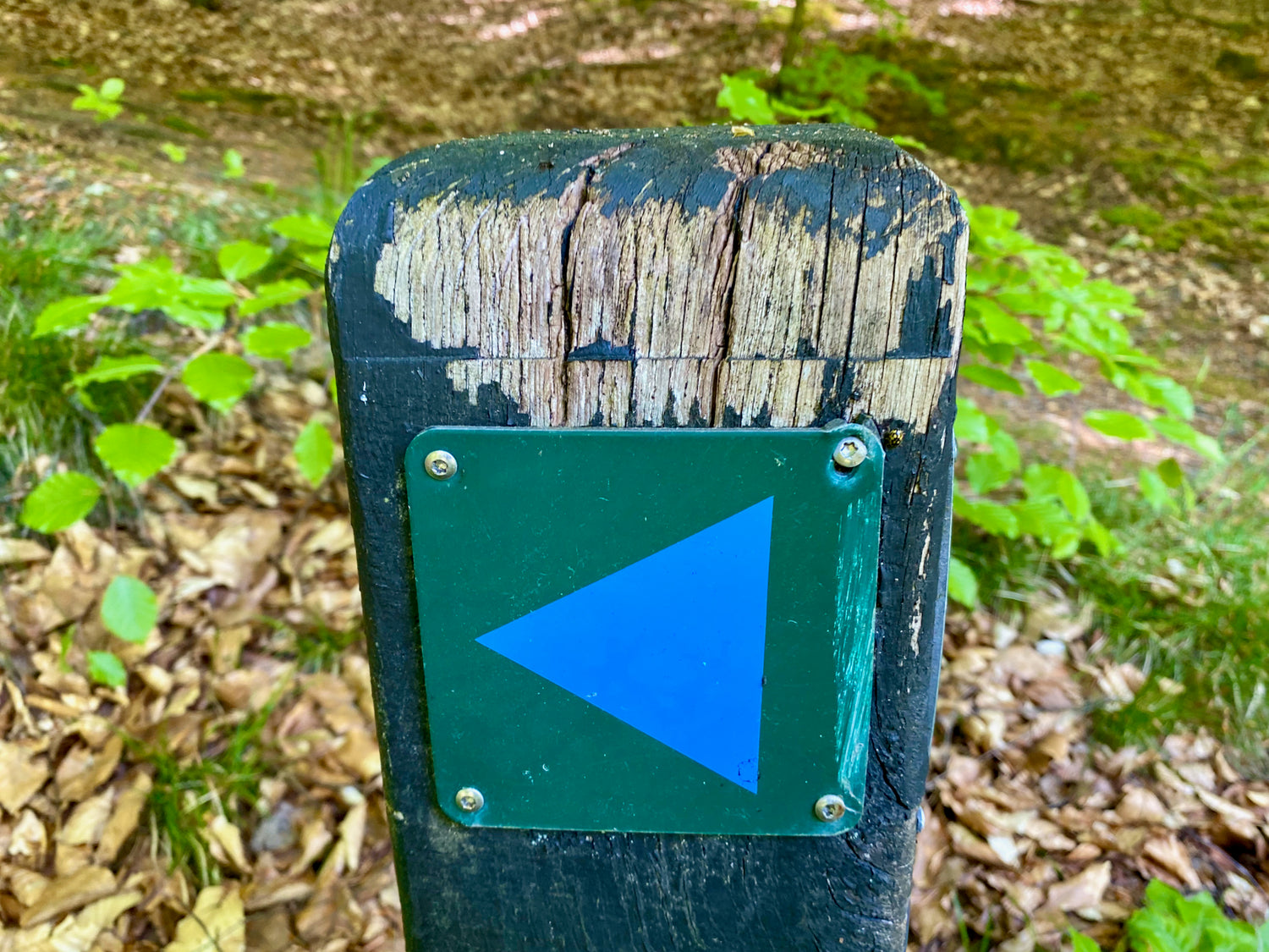
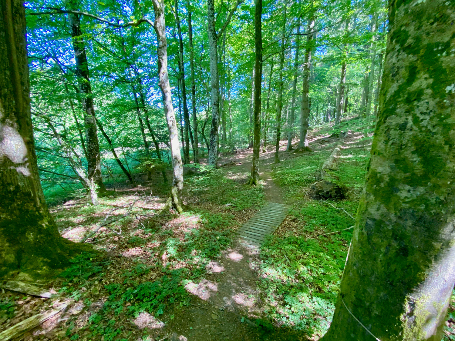
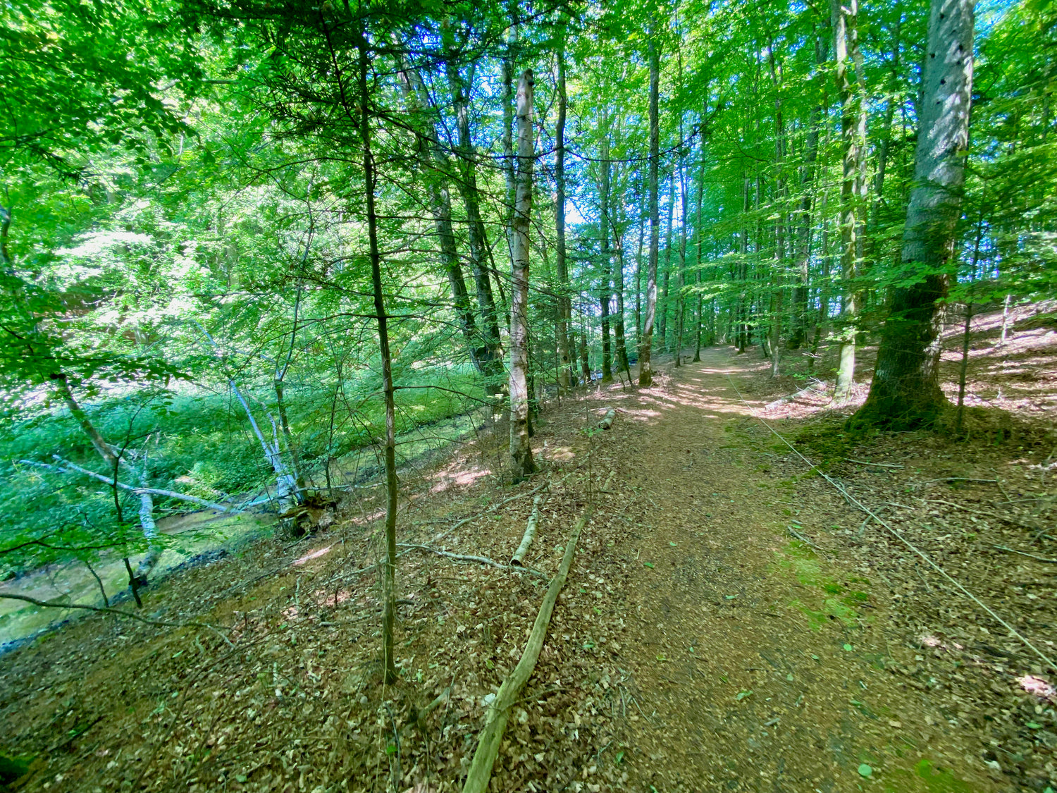
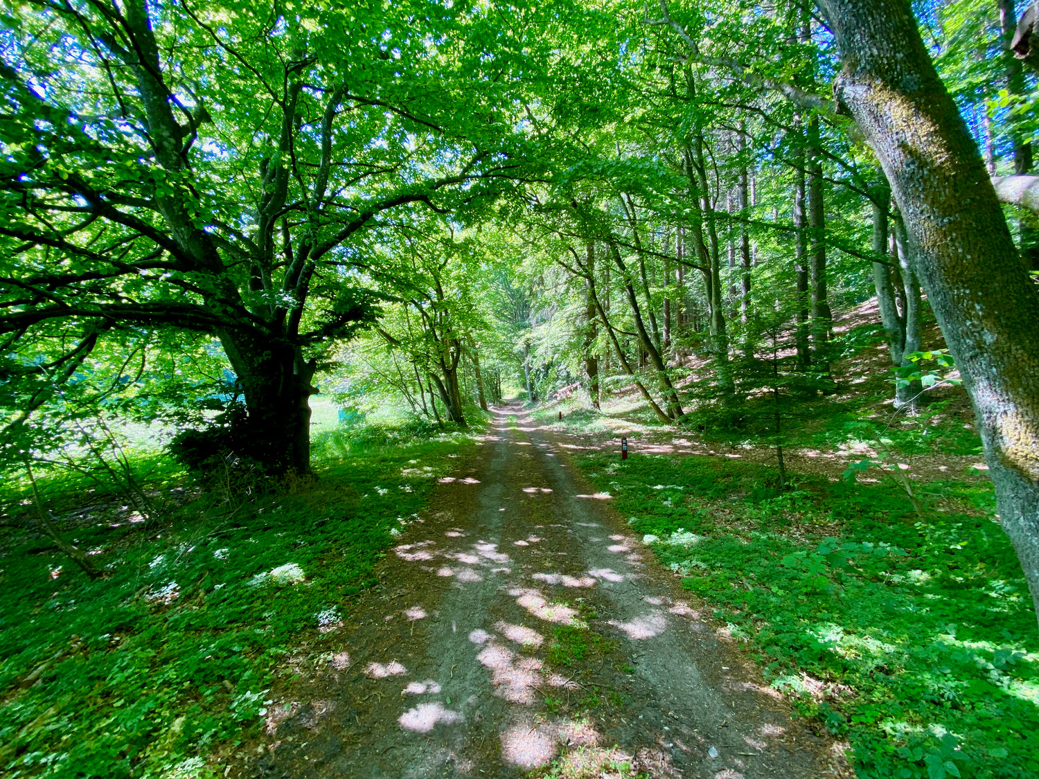
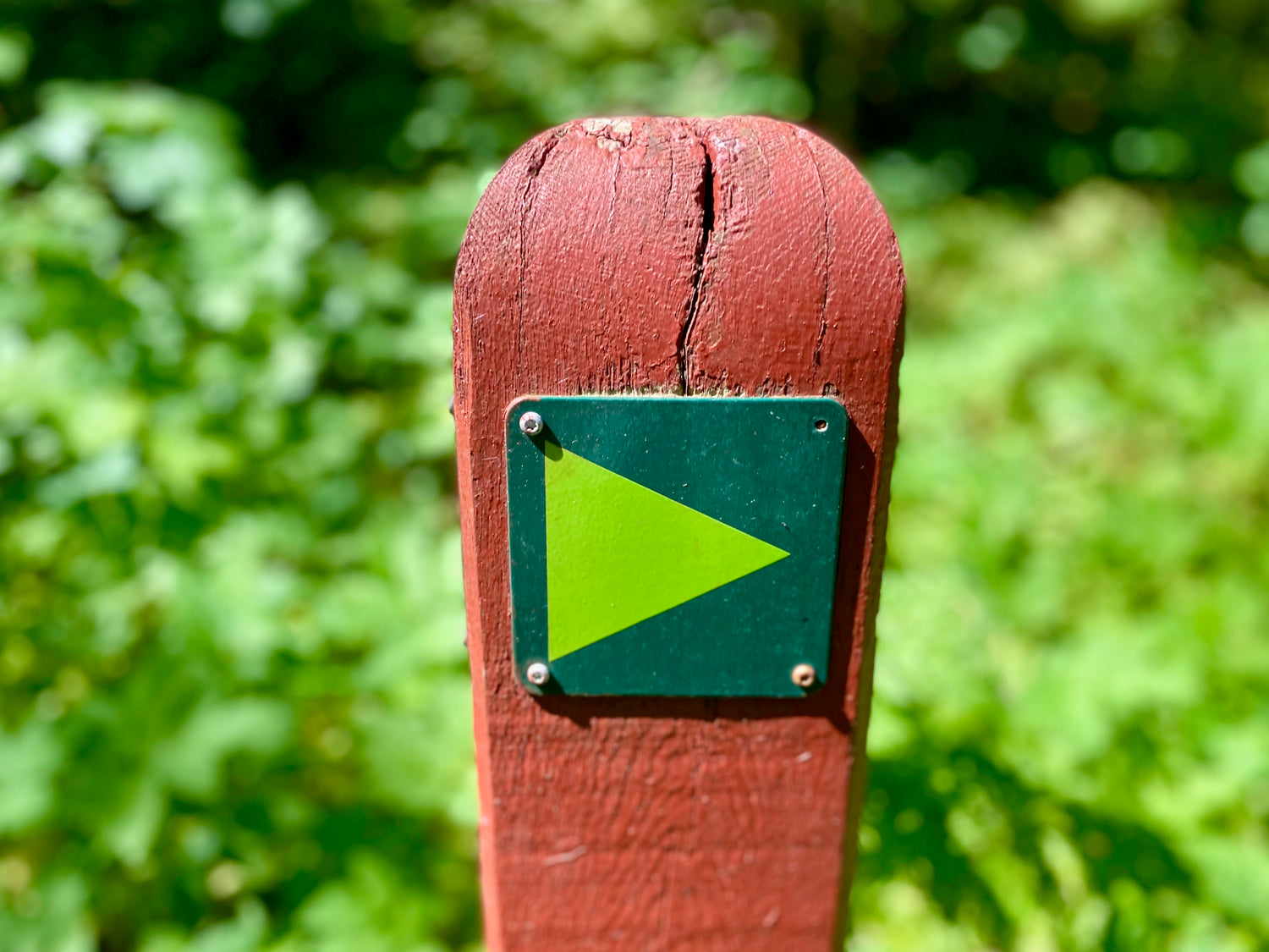
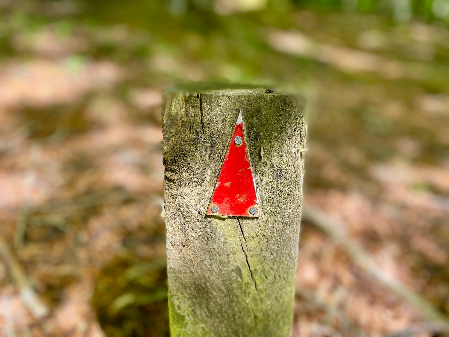
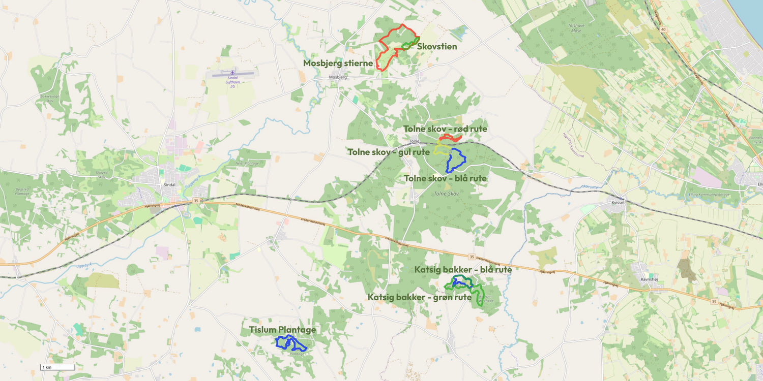
The hiking trails
Below you see the selected hiking trails from the hiking area with mileage.
We have prioritized the trails with our favorite trail in the area as the first.
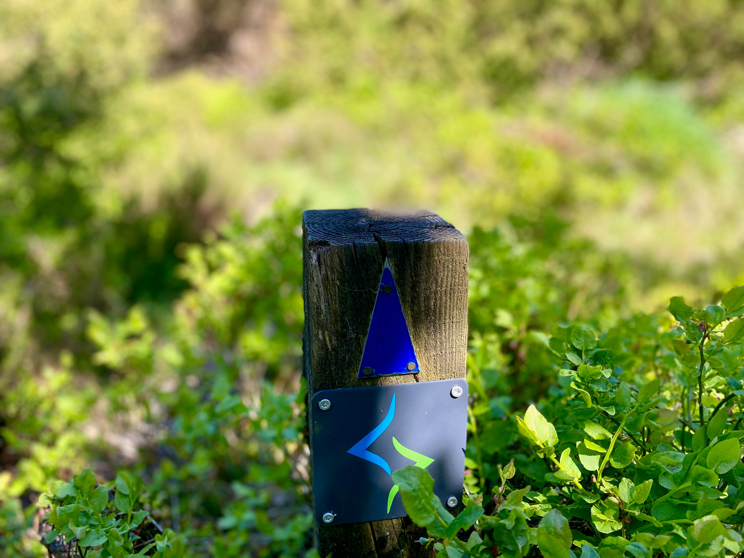
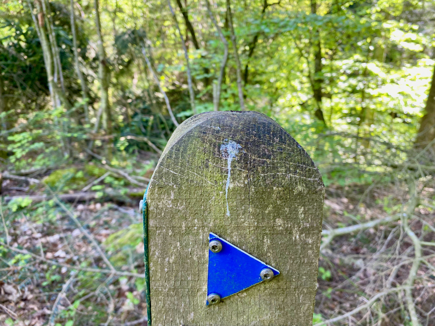
You get information about each hiking trail by clicking on the pictures.
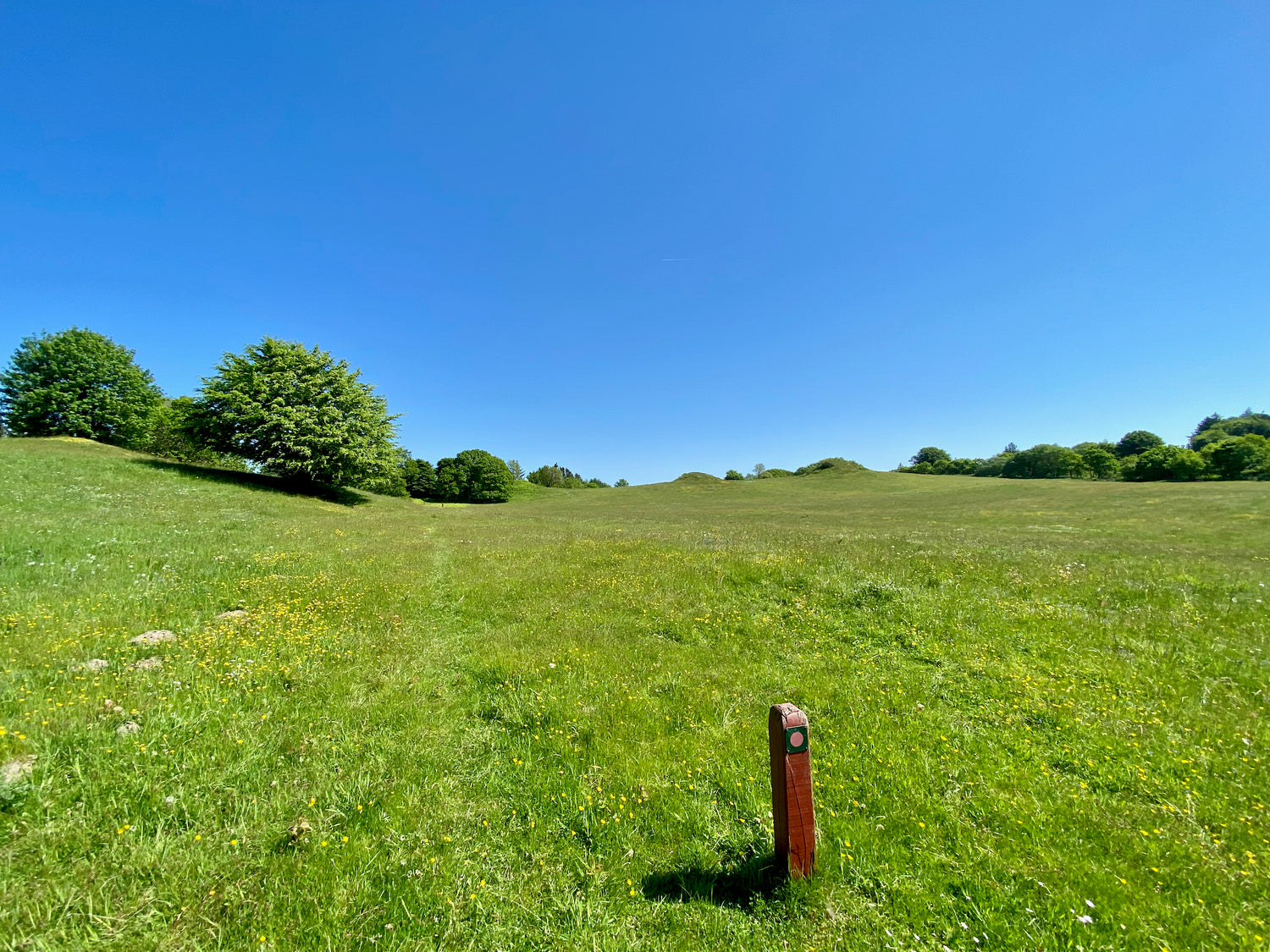
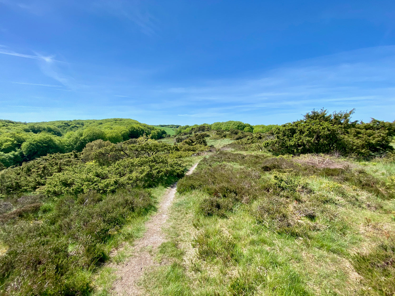
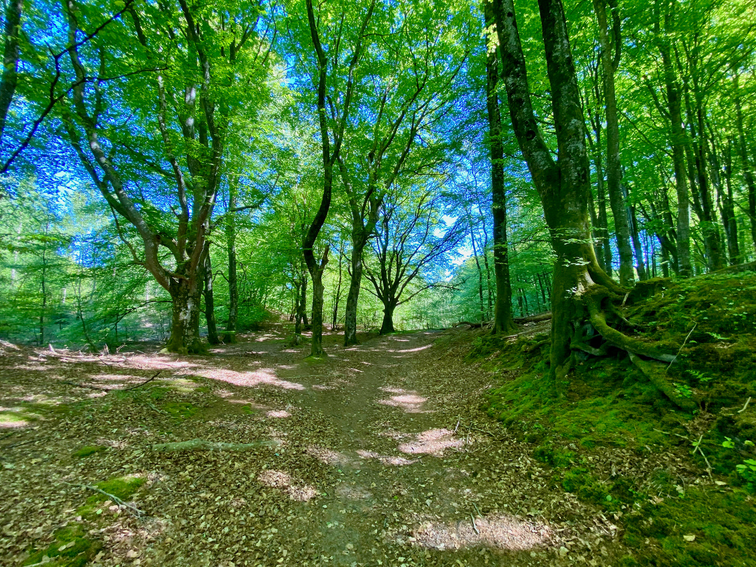
Katsig Bakker - green route
Katsig Bakker offers a hiking trail through a natural gem with a beautiful view of Vendsyssel from the ridges. The area is known for its terrain variations and is ideal for gathering blueberries, lingonberries and junipers.
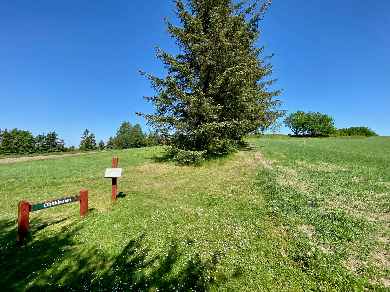
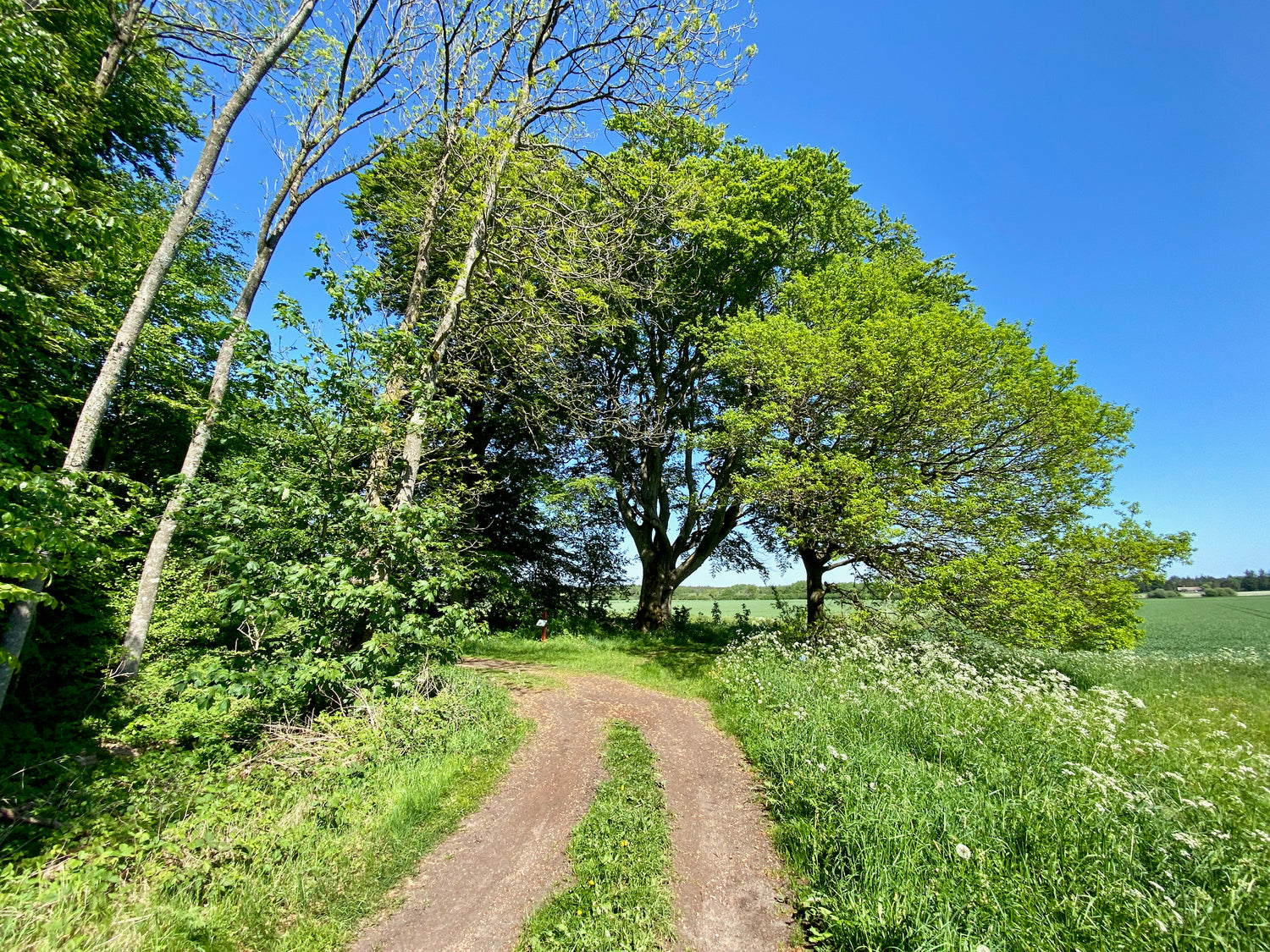
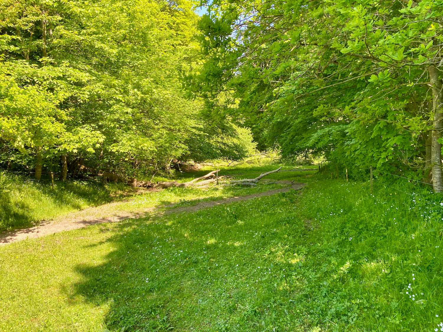
Mosbjerg trails
This combination of paths takes you around the scenic surroundings of Højen-Eskær. This is a lovely route with antiquity, bog, beech forest and heather hills, as well as Ellevehøje and the old agricultural museums.
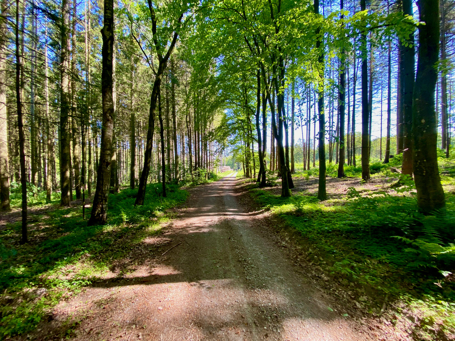
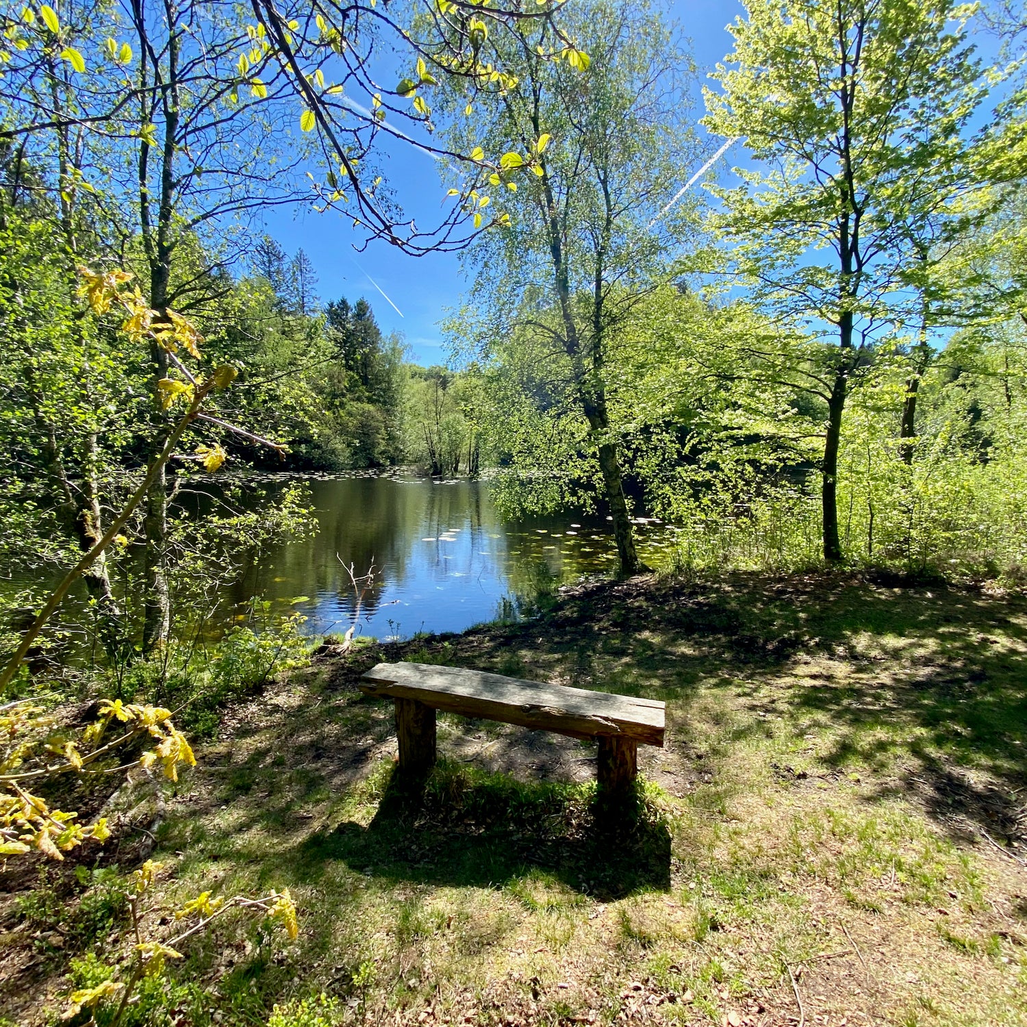
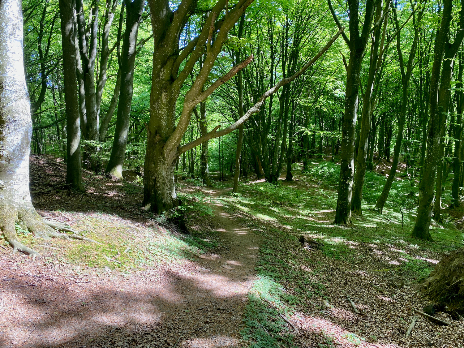
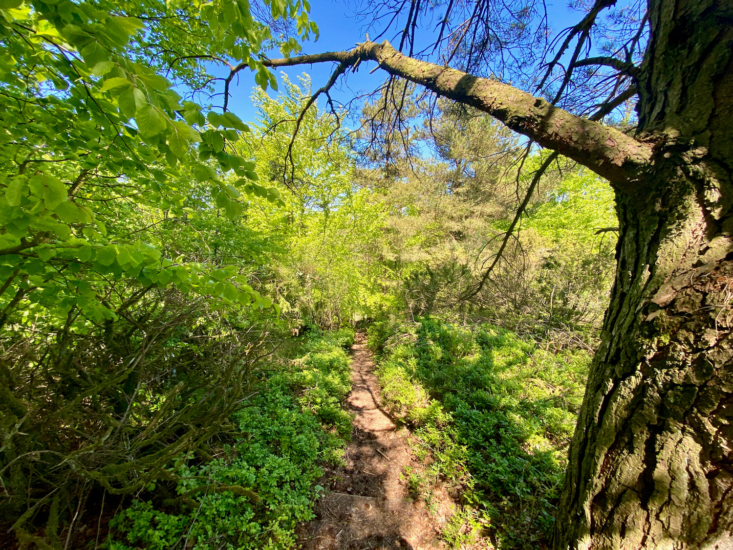
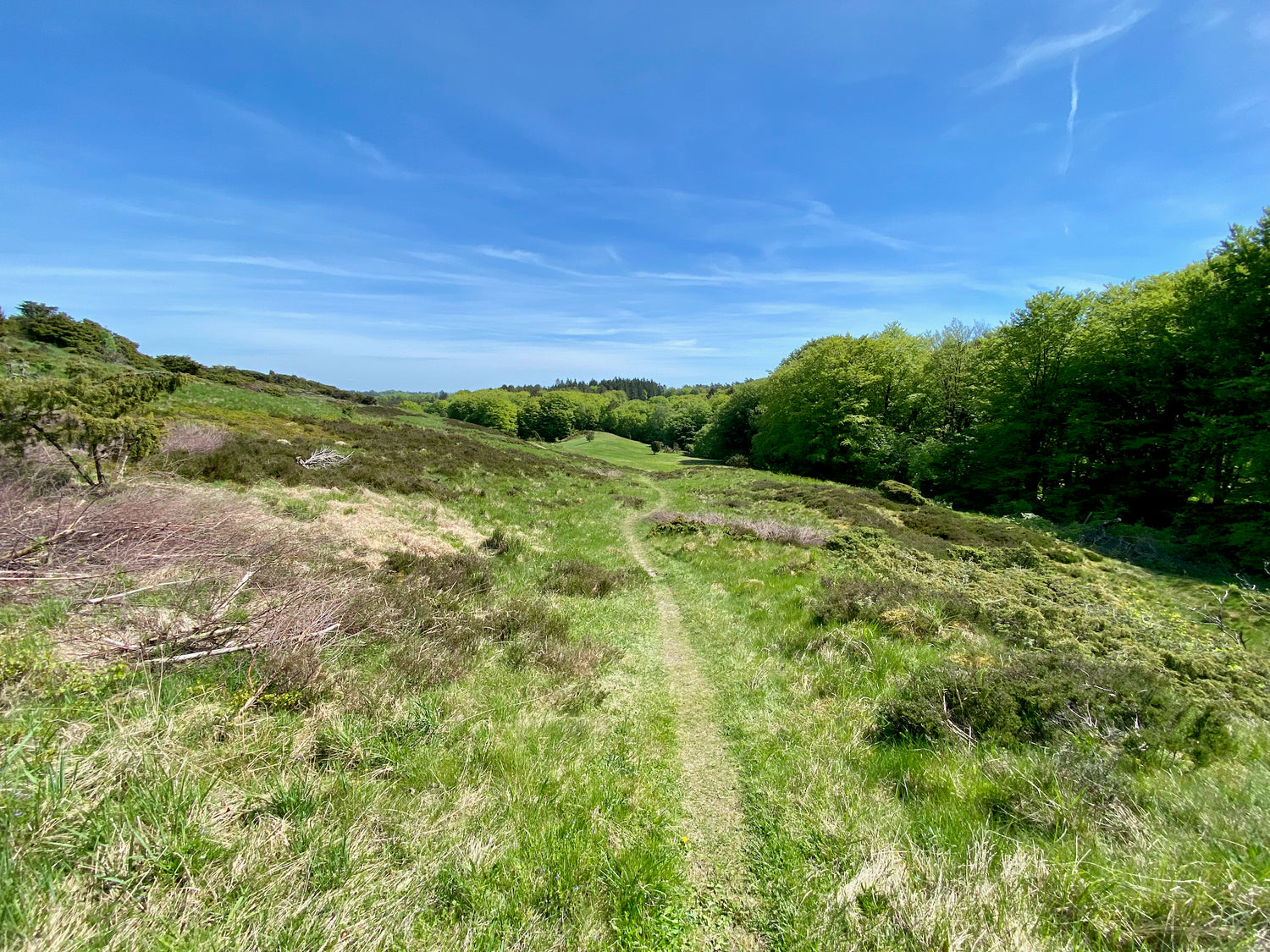
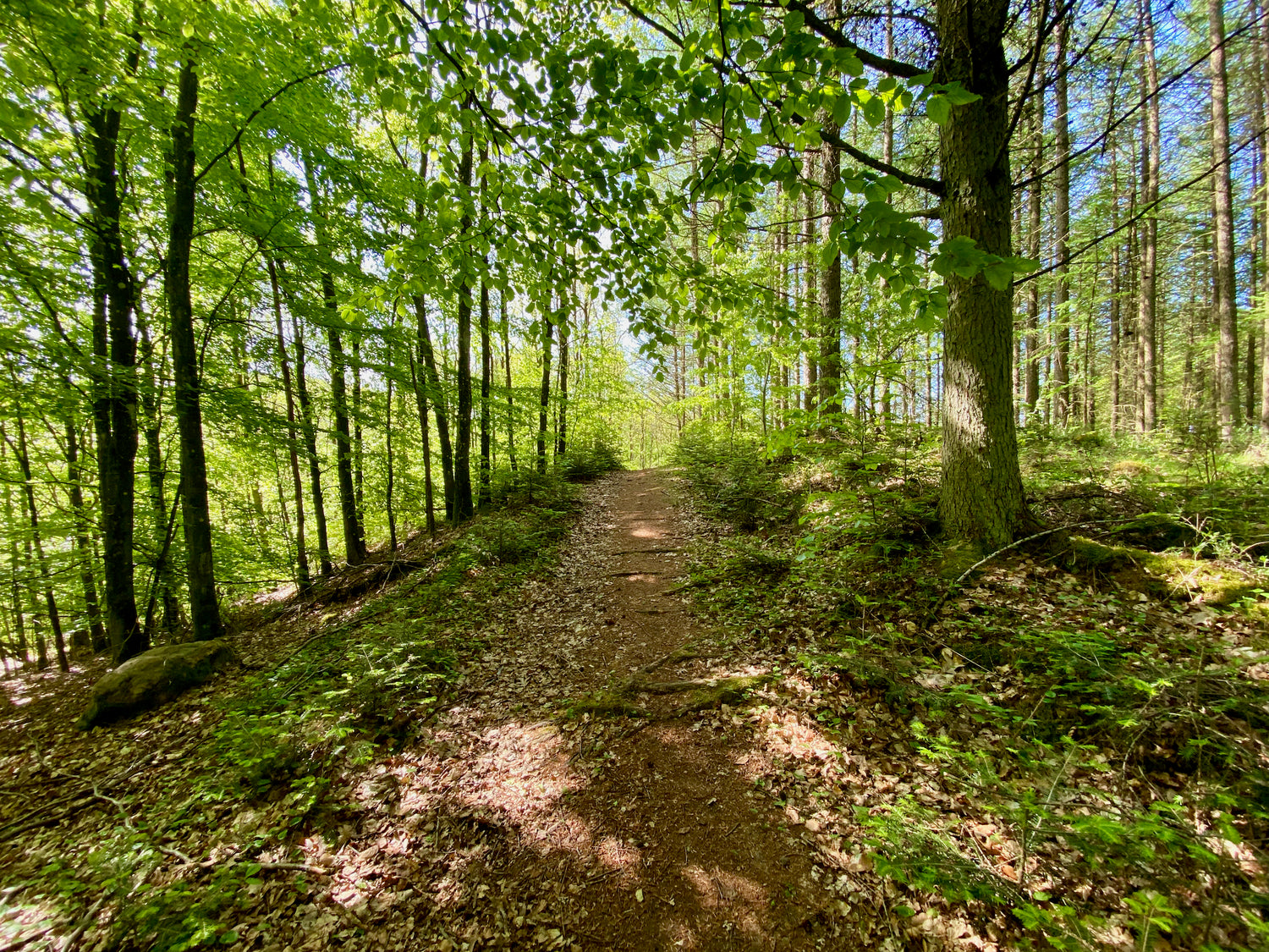
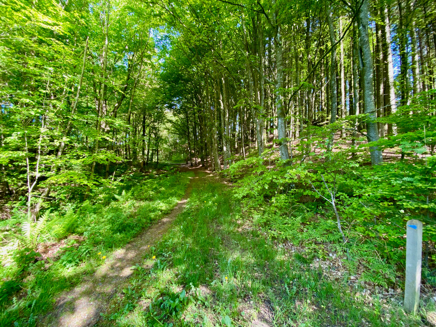
Tolne forest - blue route
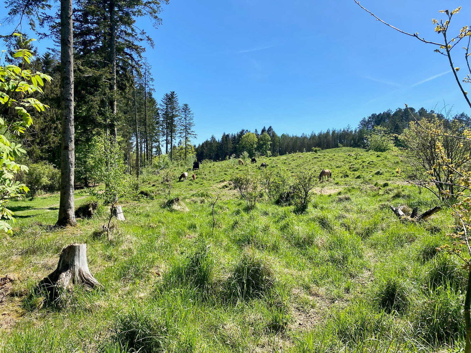
This route takes you through the scenic surroundings of Tolne Skov. From the vantage point, you can enjoy a fantastic view over large parts of Vendsyssel, and on the moor, sheep graze, keeping growth down.
Katsig Bakker - blue route 1.9 km
The hiking trail in Katsig Bakker takes you through a natural gem with a magnificent view of Vendsyssel from the ridges. The area offers varied nature and cultural monuments that make the trip both beautiful and interesting.
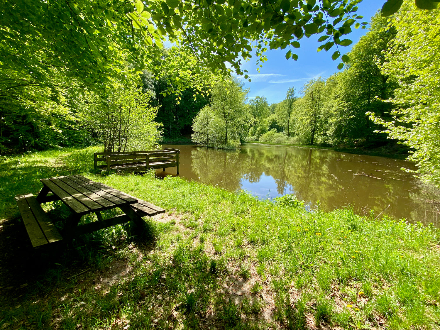
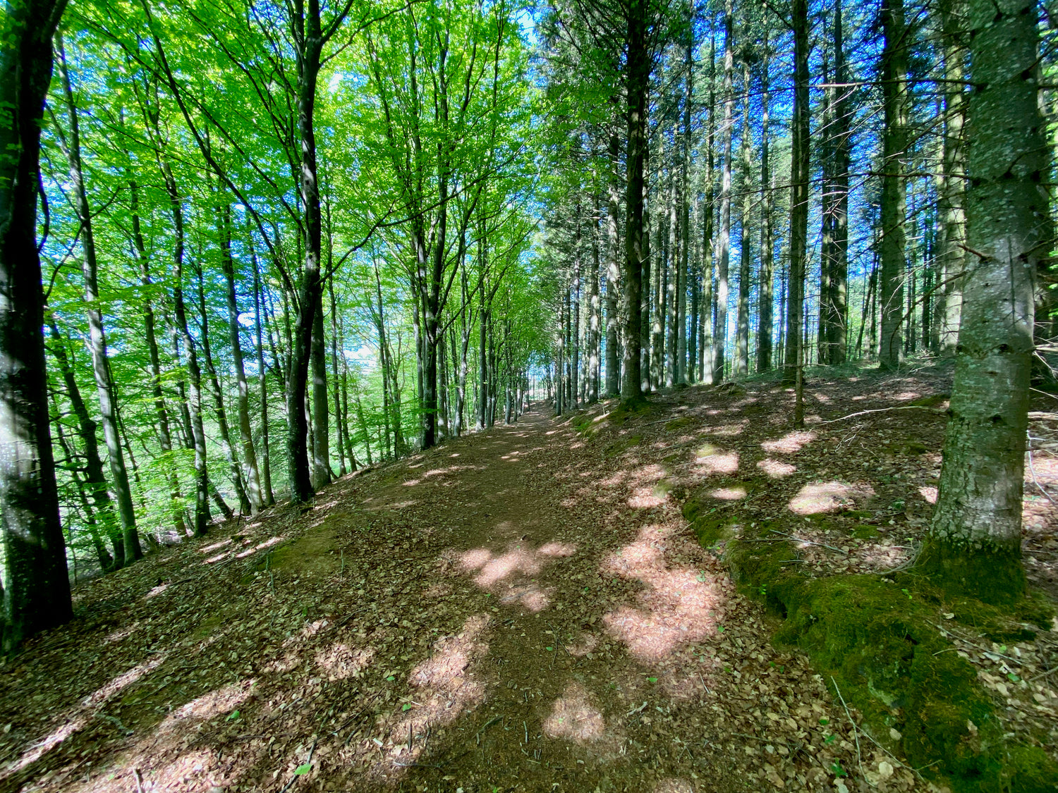
Tolne forest - yellow route
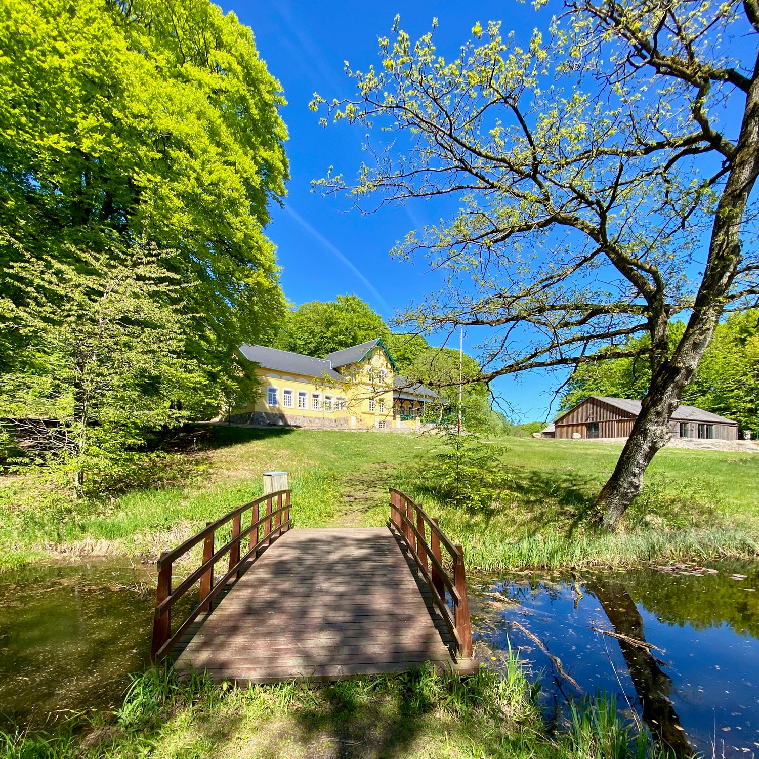
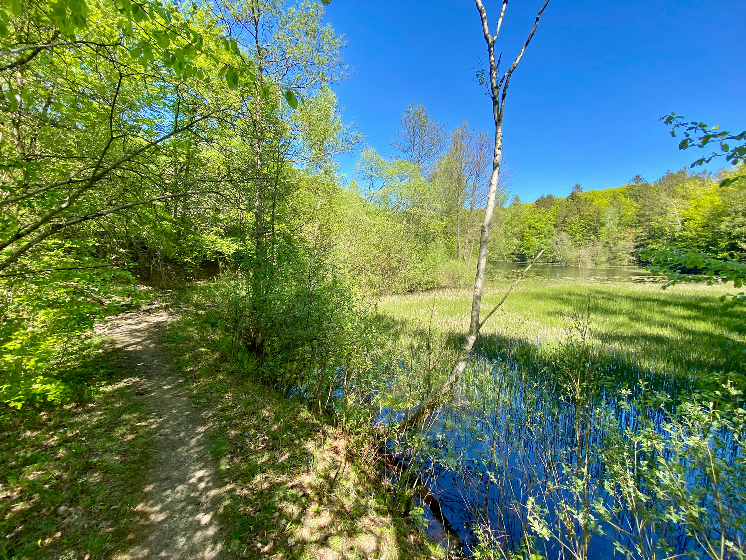
From the car park at Tolne Skovpavillon starts the footpath that takes you through Tolne Skov's scenic surroundings. The path snakes through varied terrain and passes a number of raised lakes, which are one of the most beautiful highlights of the trip. These lakes were created from 1921.

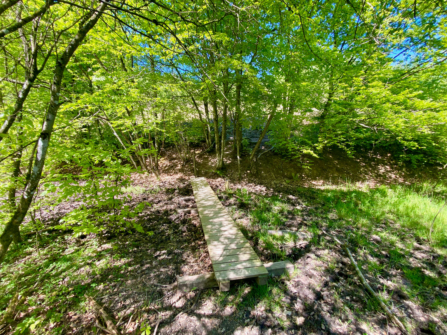
Skovstien
The Skovsti is a pleasant tour through the Eskjær forest near Bjørnager.
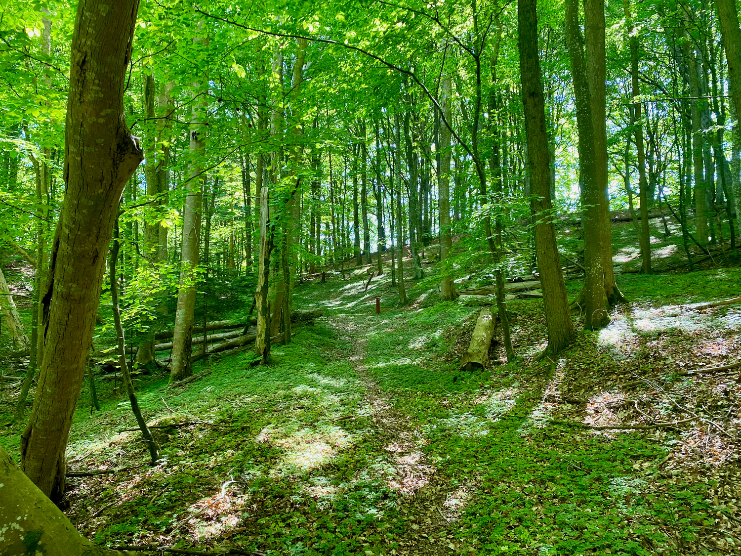
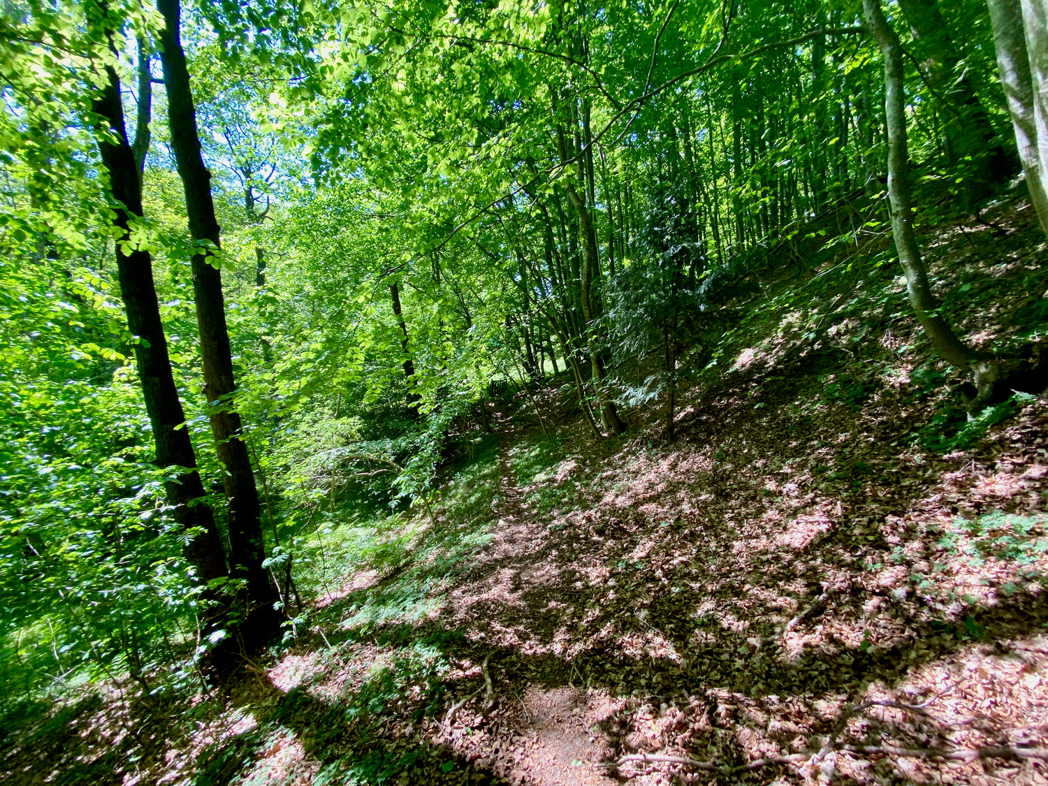
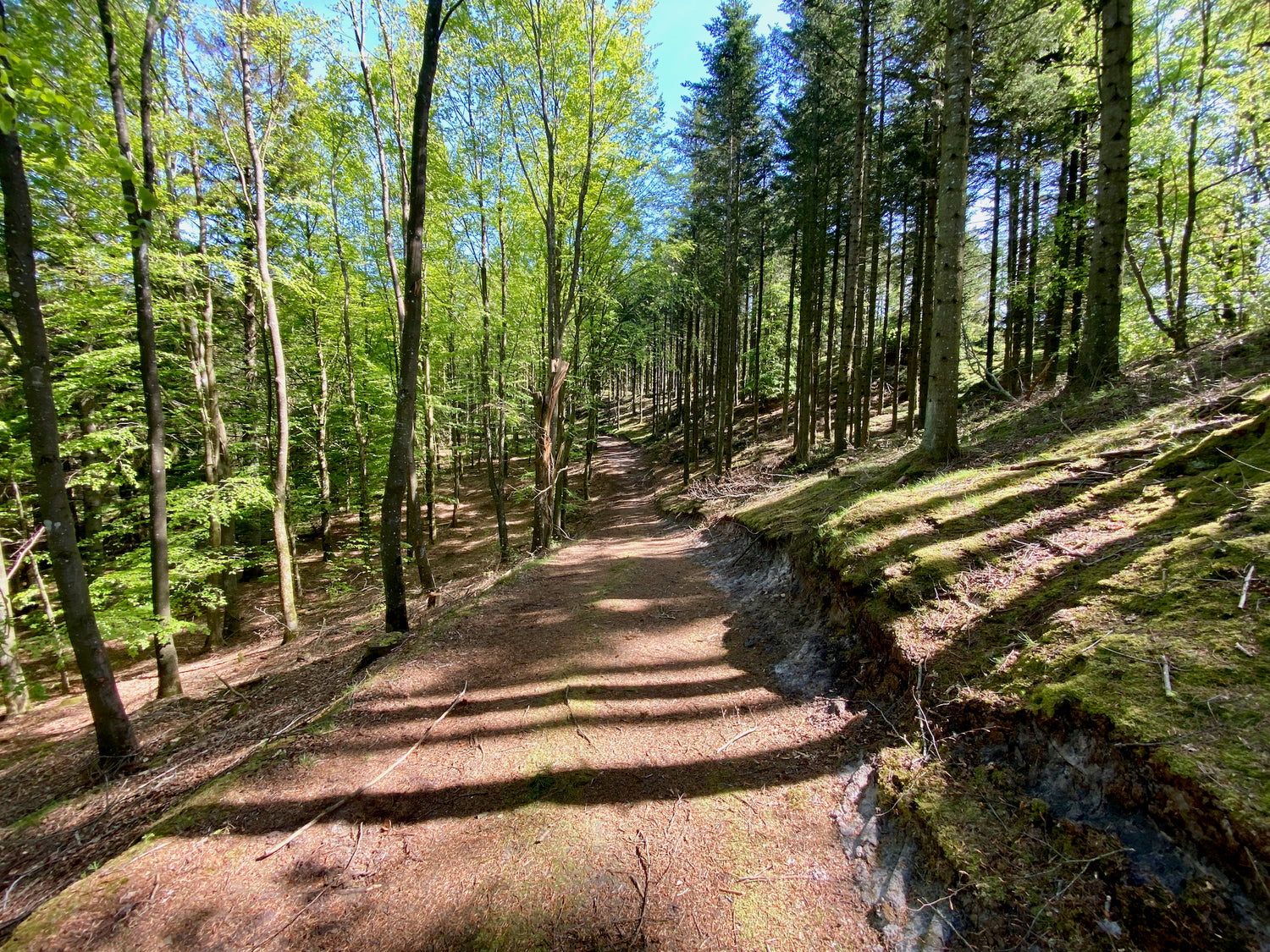
Tolne forest - red route
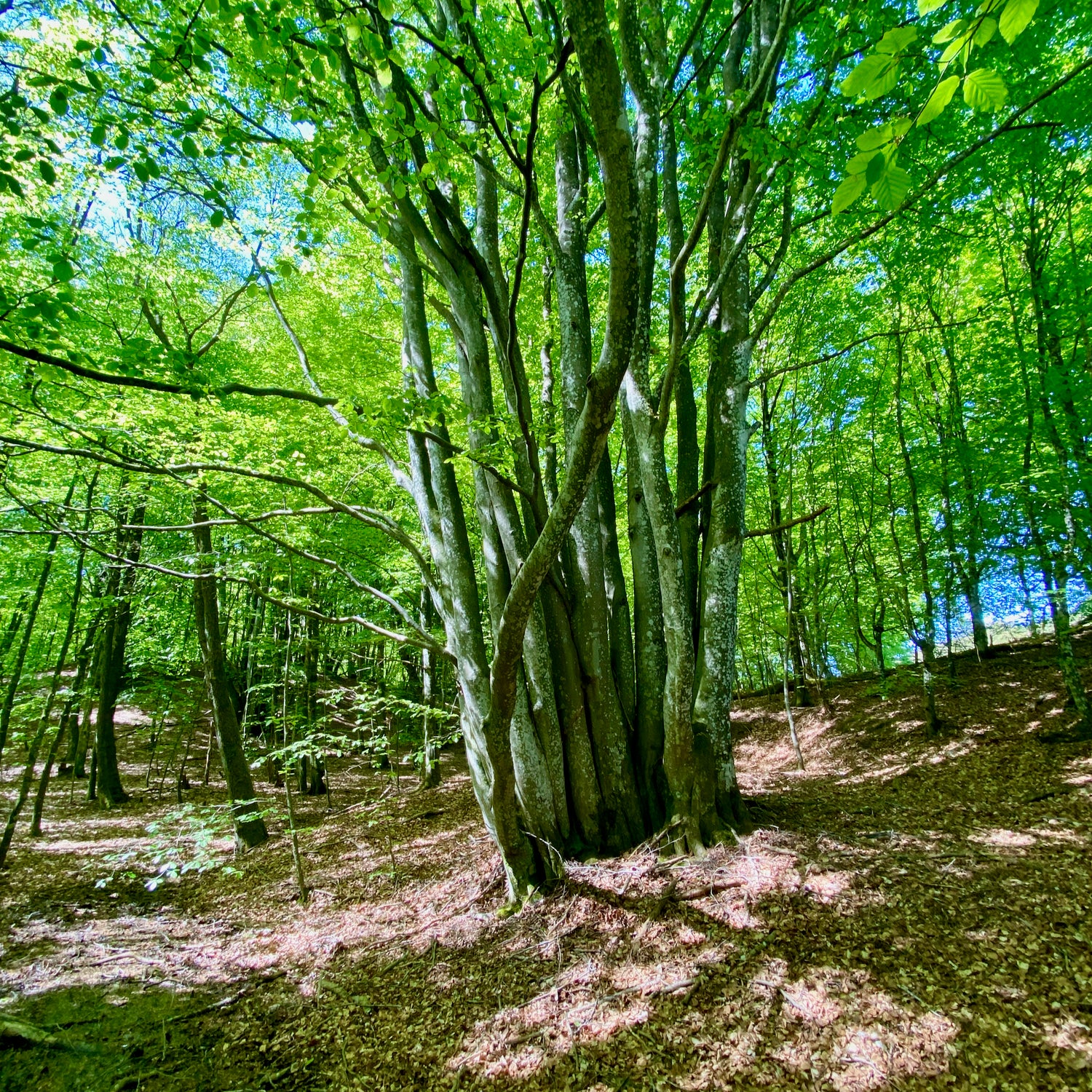
The hiking trail takes you through the beautiful surroundings of an old beech forest, home to many of the forest's bird species such as stock dove and various species of woodpeckers. Their characteristic calls and knocking against the trees can often be heard along the way.
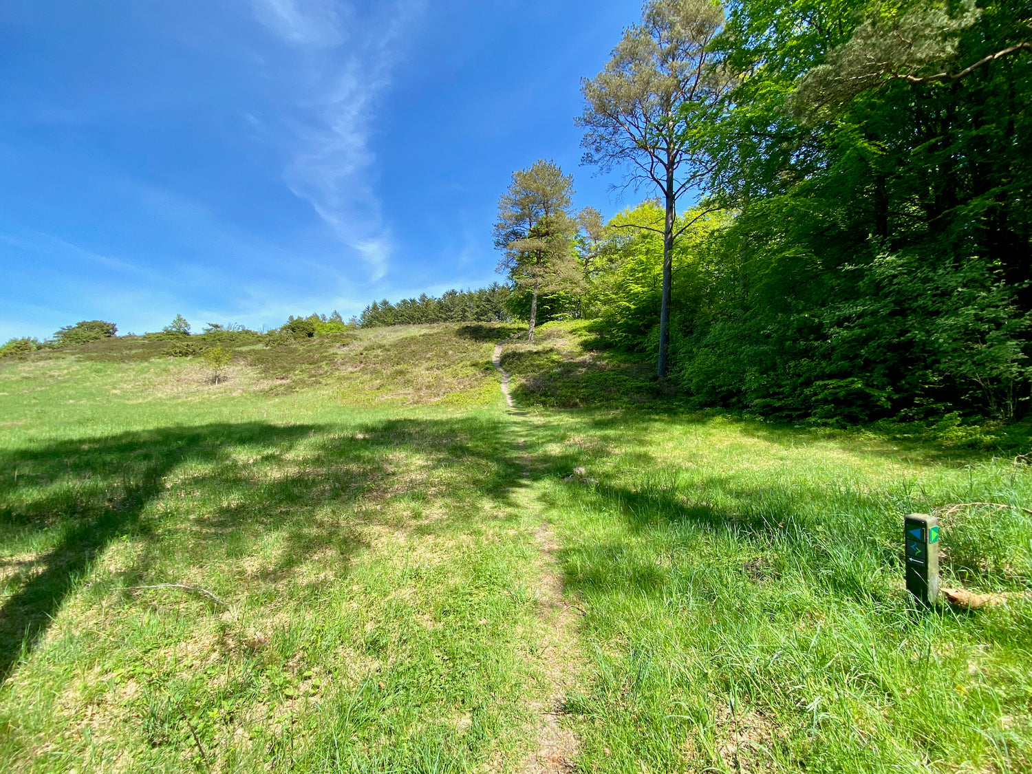
Tislum Plantation
This hiking trail takes you through the scenic surroundings of Tislum Plantation, where the wooded nature can be enjoyed. The path winds through varied terrain, characterized by hills and valleys, which gives you an exciting hiking experience.
Ideal sequence of the trails in relation to transport
We recommend that you walk the hiking trails in the following order (or vice versa) to get the shortest possible transport distance between the trails:
- Mosbjerg trails 5 km (2)
- Skovstien 1.4 km (6)
- Tolne forest - red route 1.7 km (BT1)
- Tolne forest - yellow route 1.9 km (5)
- Tolne forest - blue route 2.2 km (3)
- Katsig Bakker - green route 3.9 km (1)
- Katsig Bakker - blue route 1.9 km (4)
- Tislum Plantation 3.5 km (BT2)
You can choose to skip paths so that the distance fits what you want to walk.
If you want to walk 11.1 km, you start on the Mosbjerg trails. You skip the Skovsti and Tolne Skov's red and yellow routes. Then you walk Tolne Skov - blue route and finish your hike by following Katsig Bakker's green route.
Be aware:
The Mosbjerg trails are a combination of 4 trails, where you alternately follow the markings of the different trails.
The blue route and the red route in Tolne Skov can be advantageously walked in one stretch.
Experiences and sights
-
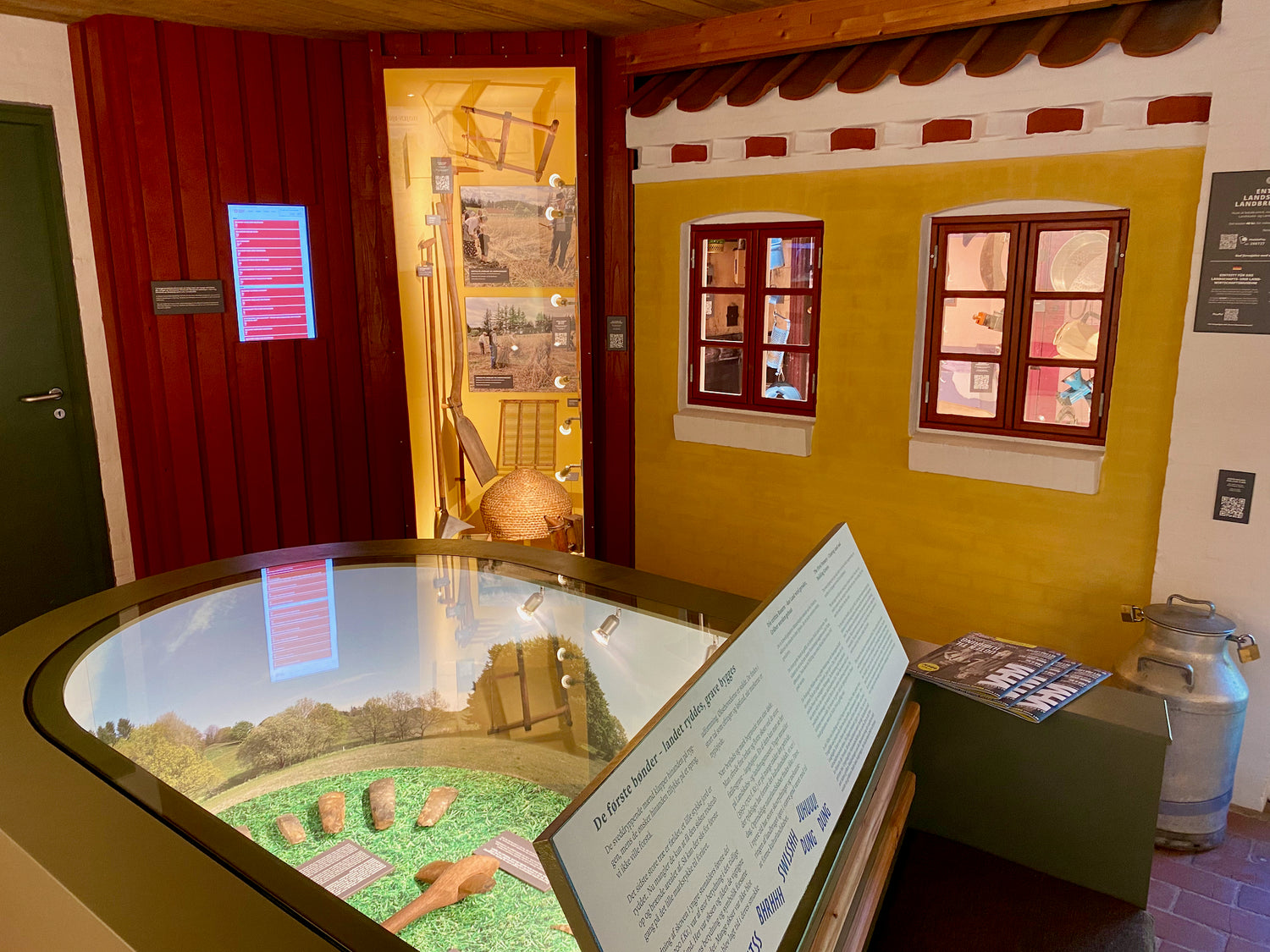
Mosbjerg Landscape and Agricultural Museum
At Højen stands a homestead, a living open-air museum, where life from around 1915 is recreated. During the summer holidays, the place is inhabited by families who live as in the first half of the 20th century.
The farm offers exhibitions about the landscape's geology, history and agriculture, with tools from 1880-1950. Events such as Potato Day and hay harvesting are also organized, showing traditional harvesting work. -
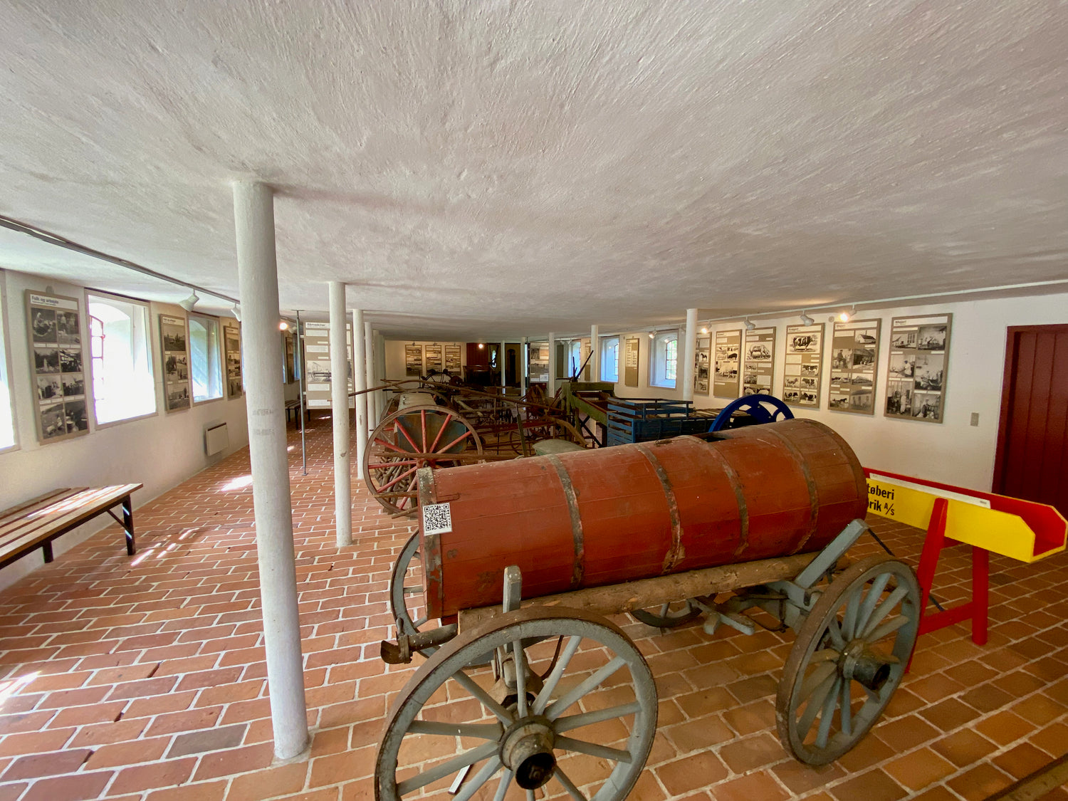
Bjørnager
In the stable and the barn on the farm Bjørnager, there is an agricultural exhibition, which shows tools from the period approximately 1880 to approximately 1950 - from the time before tractors and electricity supply. Text and picture panels describe the origin, development and use of agricultural machinery. (It is part of the Landscape and Agricultural Museum).
A demonstration ram pump has also been set up. -
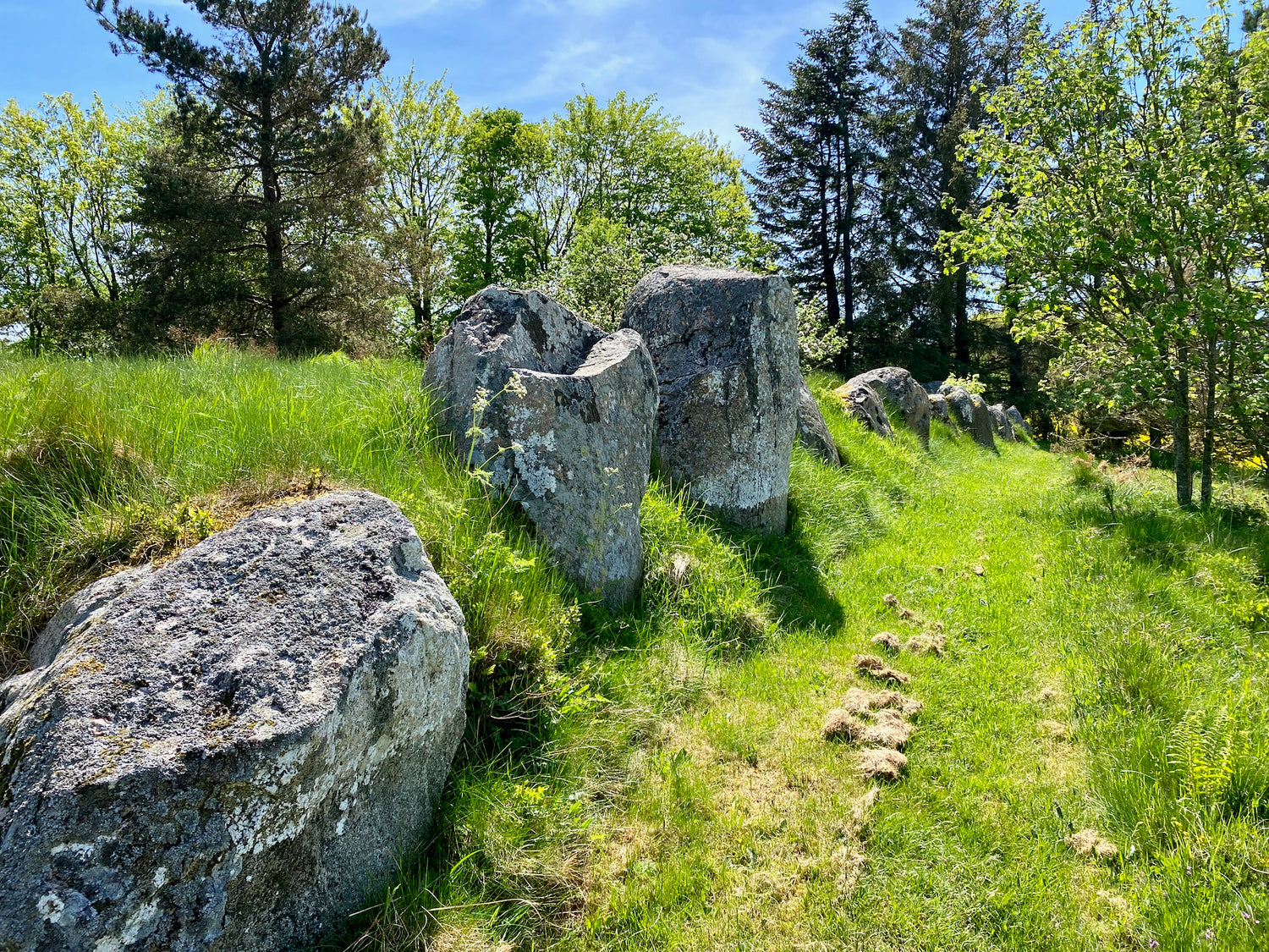
Stenhøj
400 meters north of Tolne Kirke is a protected stone dolmen named Stenhøj. This stone dolmen was erected as a burial monument in the Peasant Stone Age and belongs to the smaller long dolmen.
Today, about half of the curb stone chain and a burial chamber without a cover stone in the middle have been preserved. -
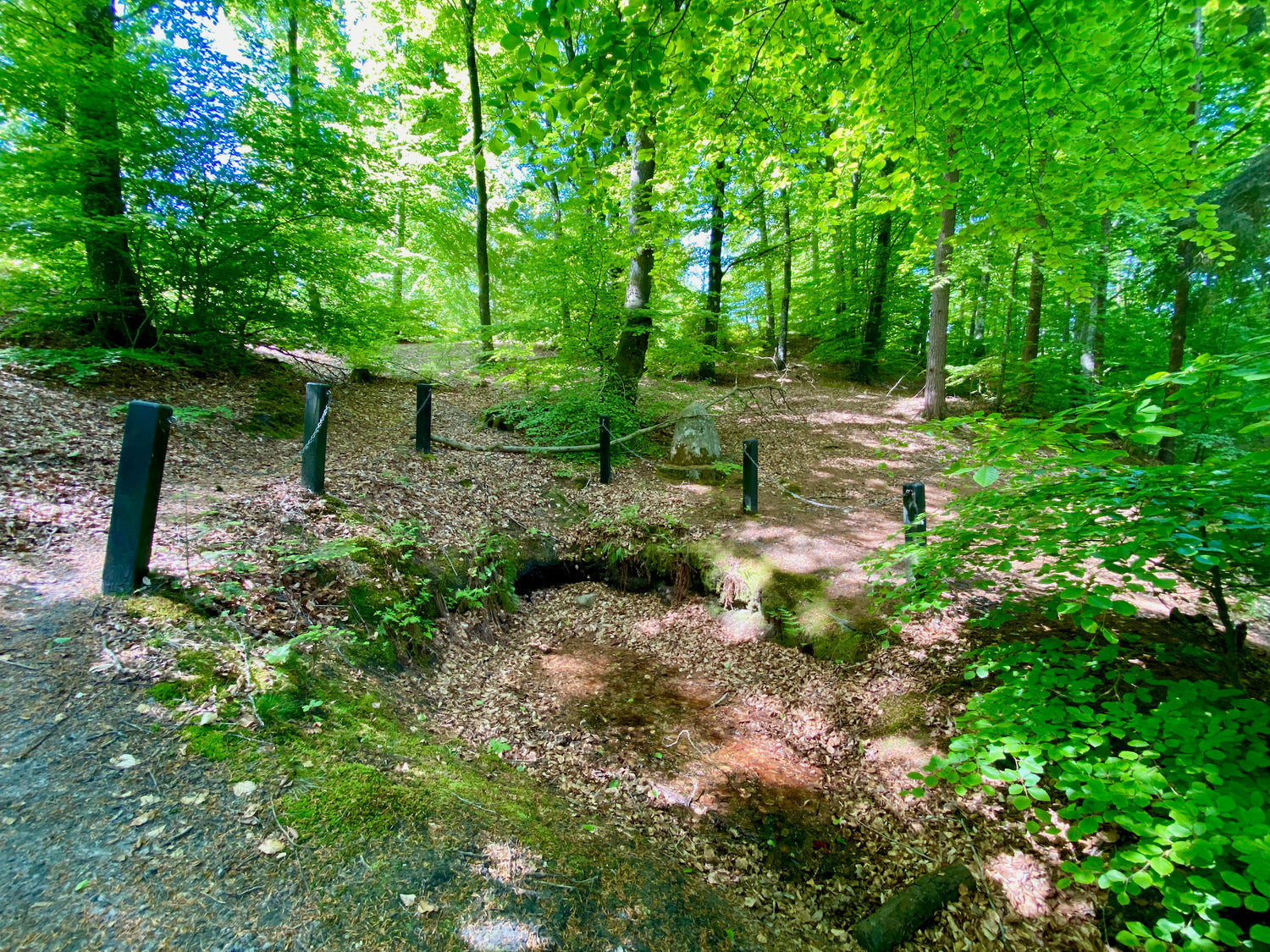
St. Jørgen's Kilde
Sankt Jørgens kilde (also called Skjær Kilde) is one of the oldest springs in Denmark. The spring is a so-called holy spring that became sacred around the 16th century.
Reportedly because a woman on her way from Hjørring to Frederikshavn passed the place with her blind child. The legend tells that they sat down and the girl washed herself in the water from the spring, after which she exclaimed: "How beautiful mother is here"! The girl could then see again.


Restaurants and cafés
-
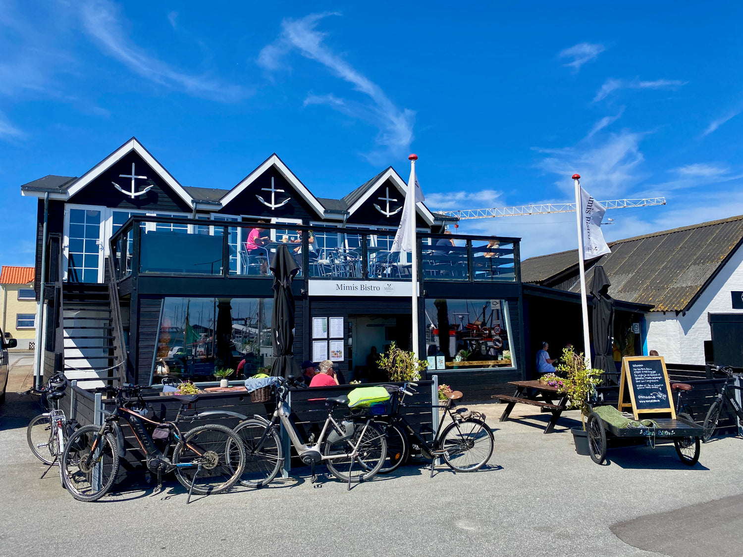
Mimis Bistro
Mimis Bistro is located at the harbor in Strandby, right next to the fish auction, offering a lovely view of the maritime surroundings.
The menu features a wide range of delights to satisfy any appetite, from classic Parisian steak to delicious fish and seafood dishes.
