Bakkelandet
Place
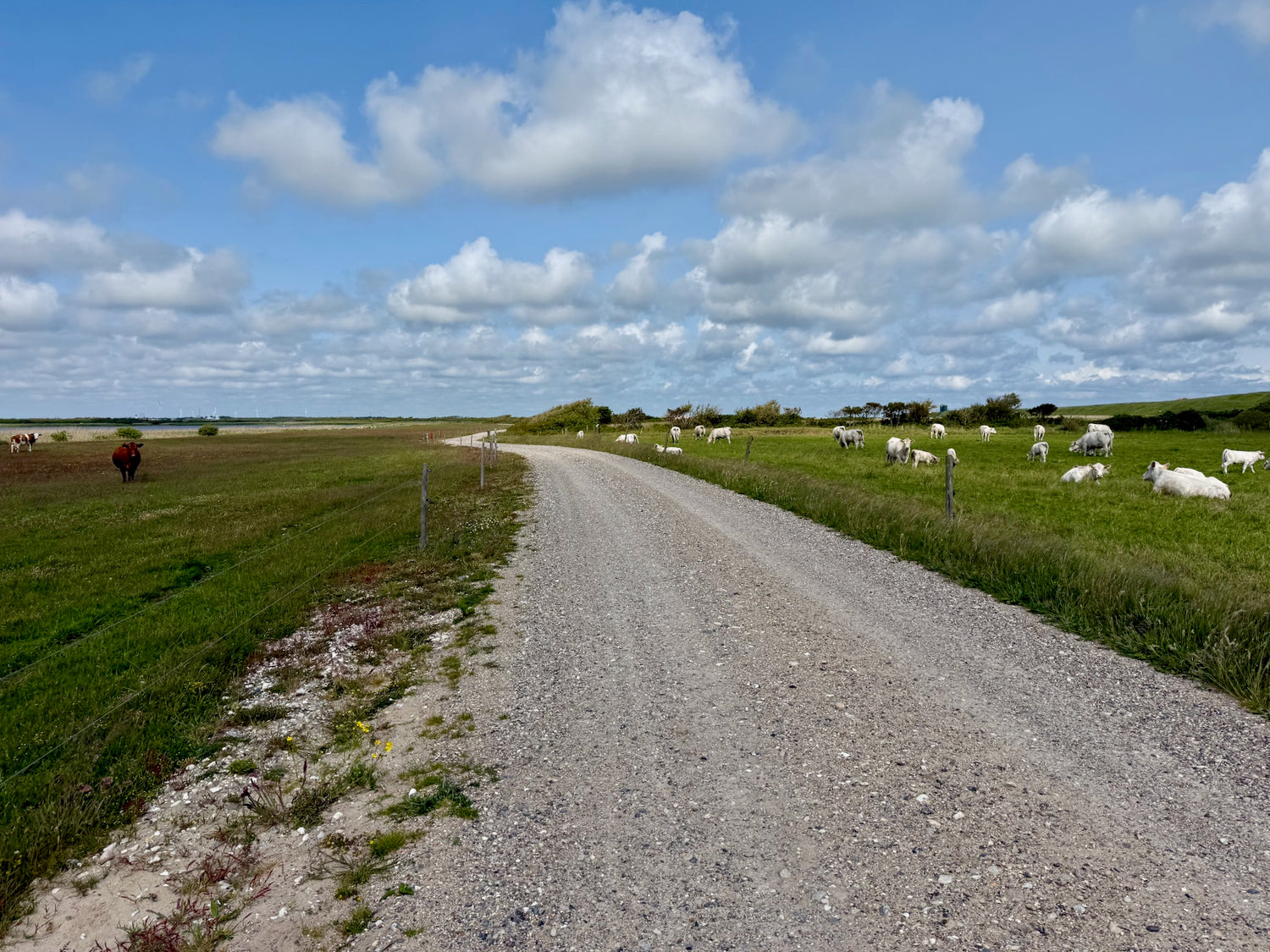
Bakkelandet (the hilly area) between Lemvig and Harboøre is part of the West Jutland moraine landscape, formed during the last ice age. The area is characterized by distinctive hills that create a clear transition to the flat coastal areas to the west.
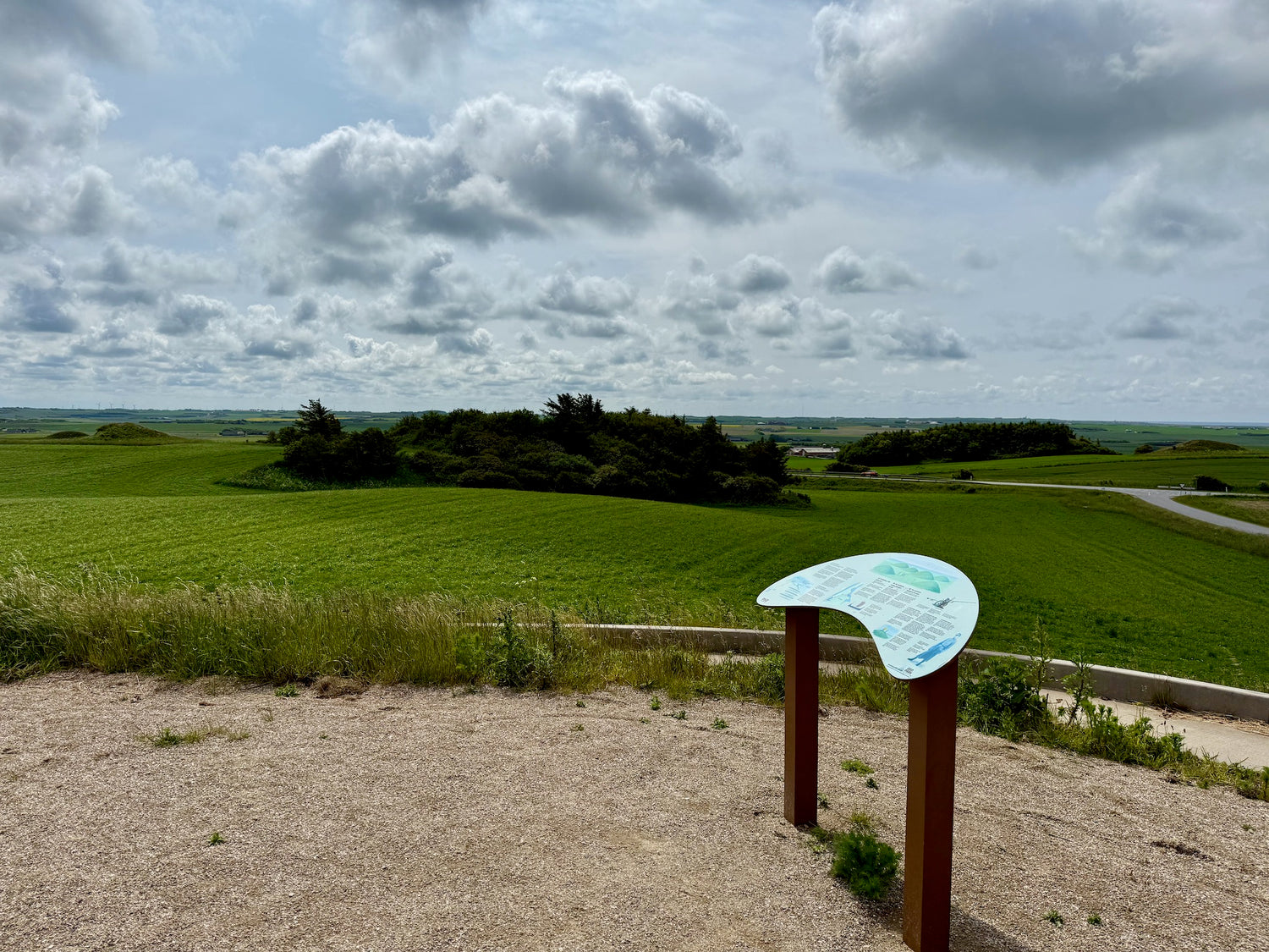
Hygum Bakke, located approximately 60 meters above sea level, offers extensive views of the North Sea, Harboøre Tange and Nissum Bredning. The hill serves as a natural viewpoint and is accessible via a path that allows visitors to enjoy the landscape.
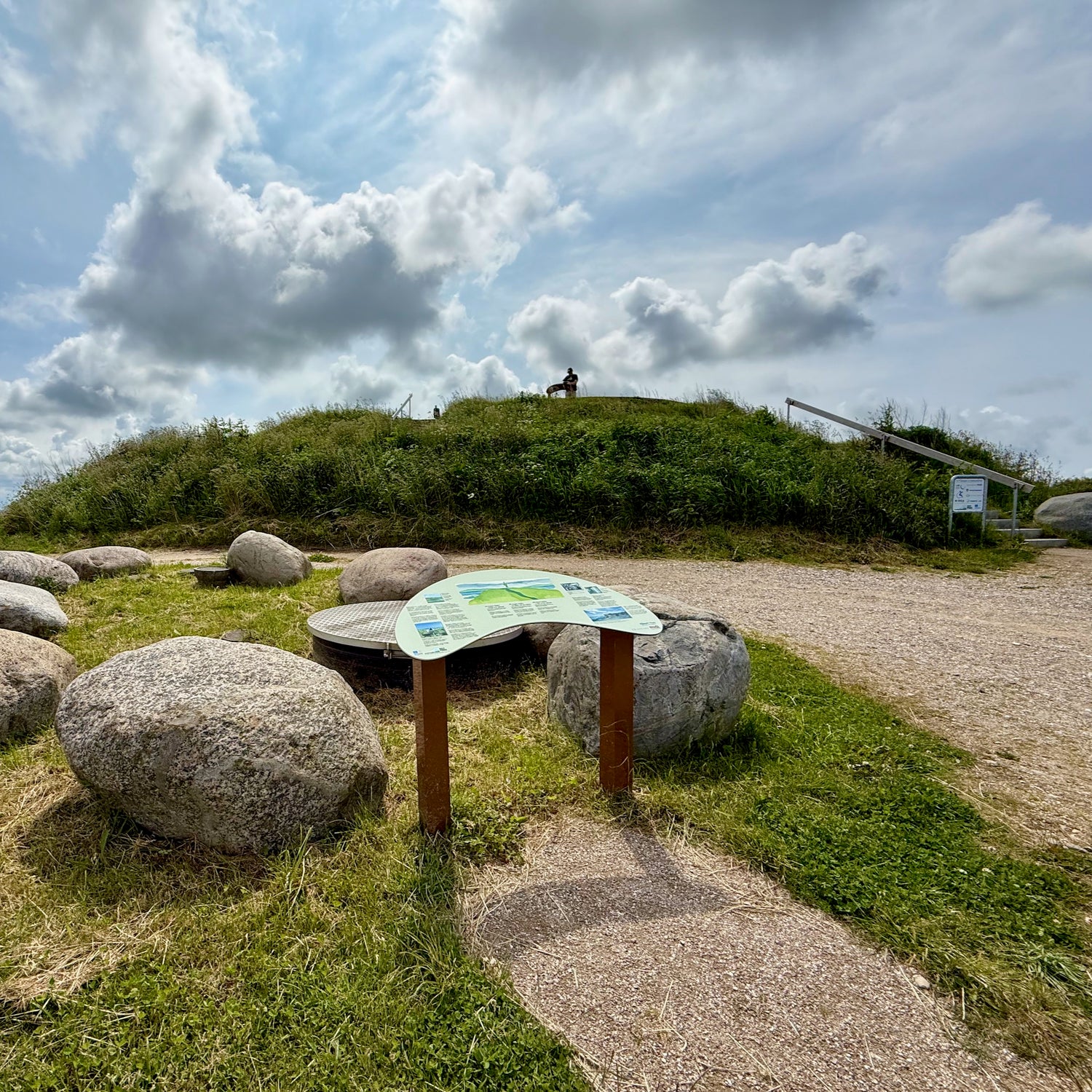
The area is rich in cultural history with around 36 protected burial mounds from the Late Stone Age and Bronze Age. These mounds, visible from a long distance, testify to the area's importance in prehistoric times and have given their name to the former parish, Hygum, which means "the settlement by the mounds".
During World War II, the area was exploited by the German occupation forces, who built bunkers and trenches. Some of these structures are still visible in the landscape and tell an important part of the area's recent history.
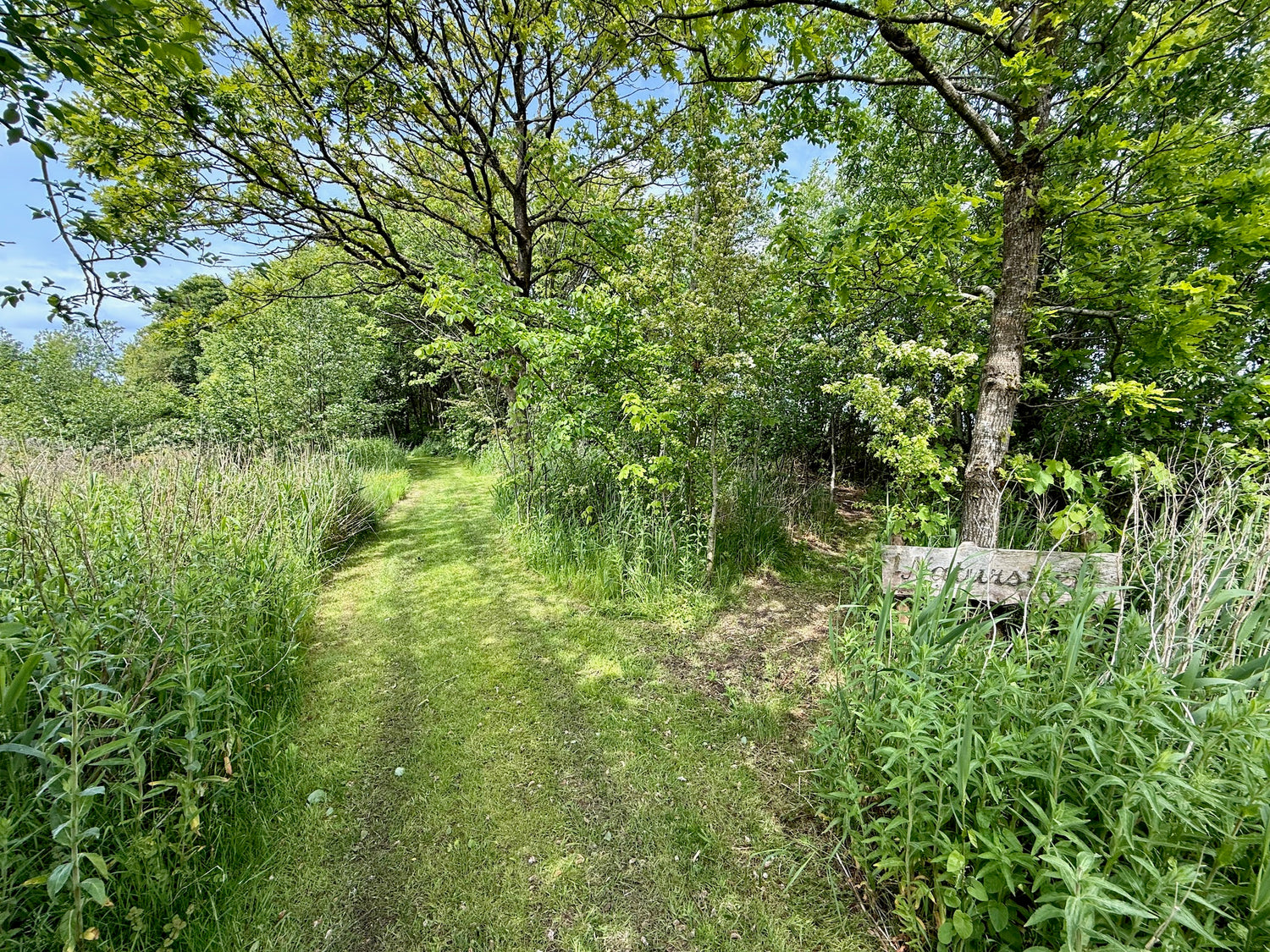
The hiking trails
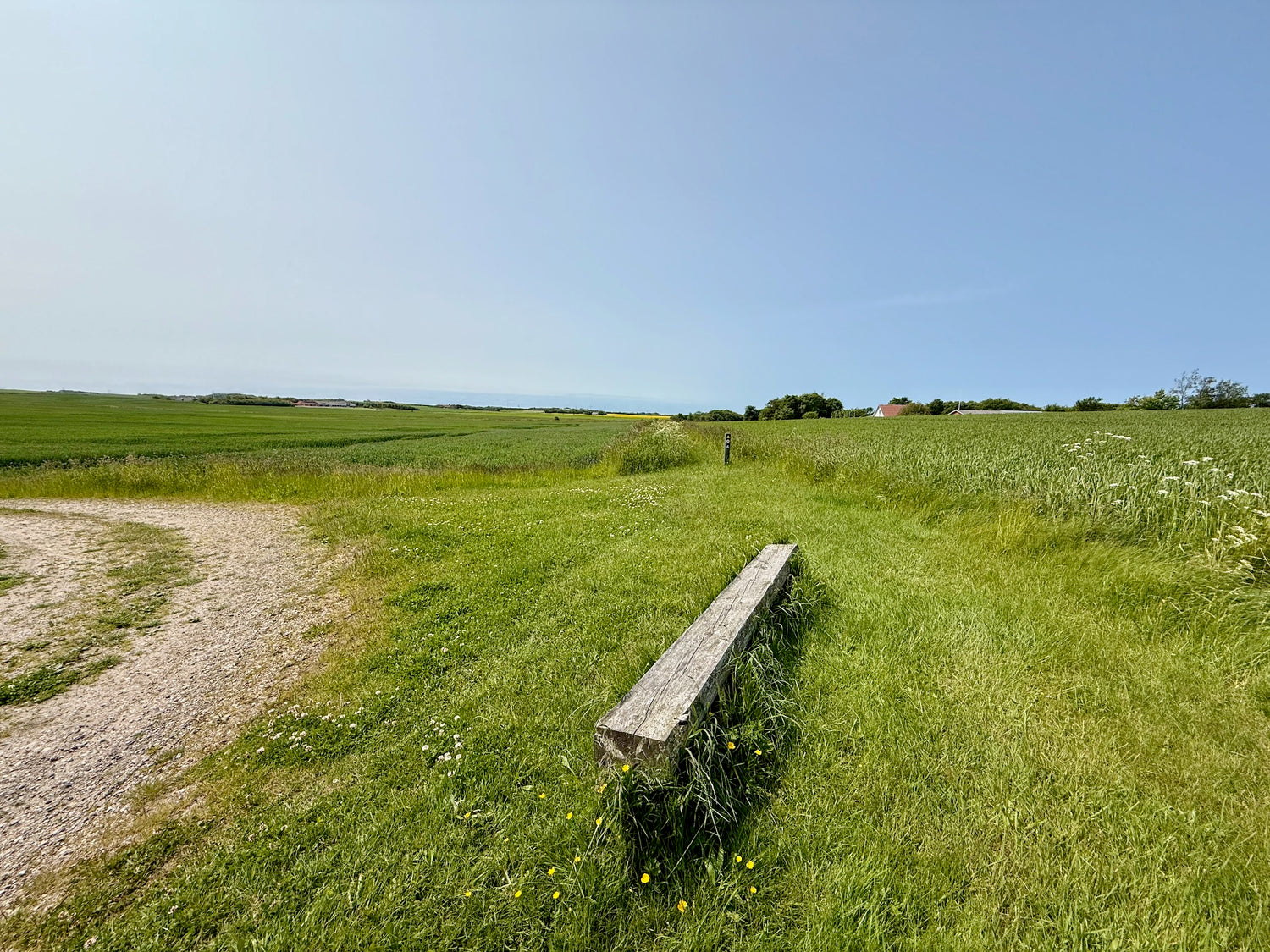
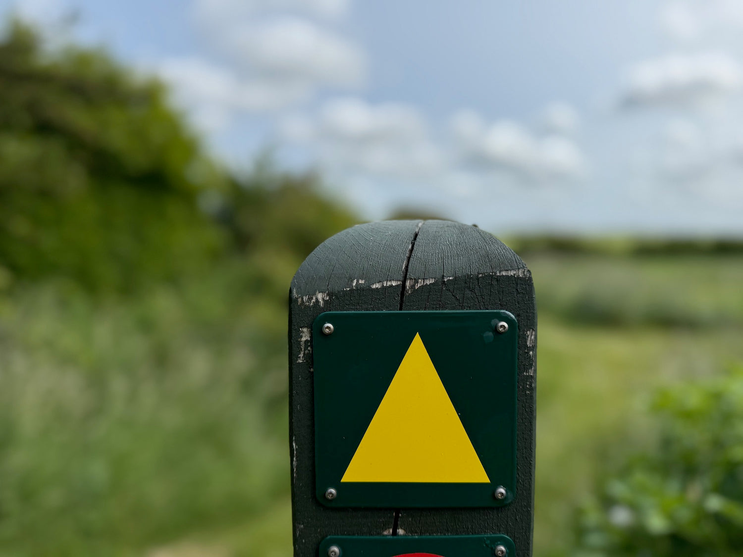
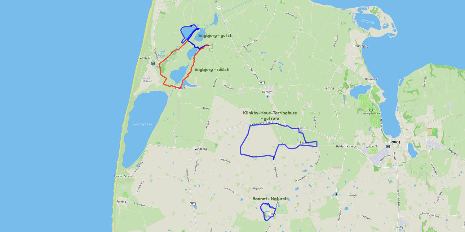
Below you will see the selected hiking trails from the hiking area with an indication of kilometers.
We have prioritized the trails with our favorite trail in the area as the first.
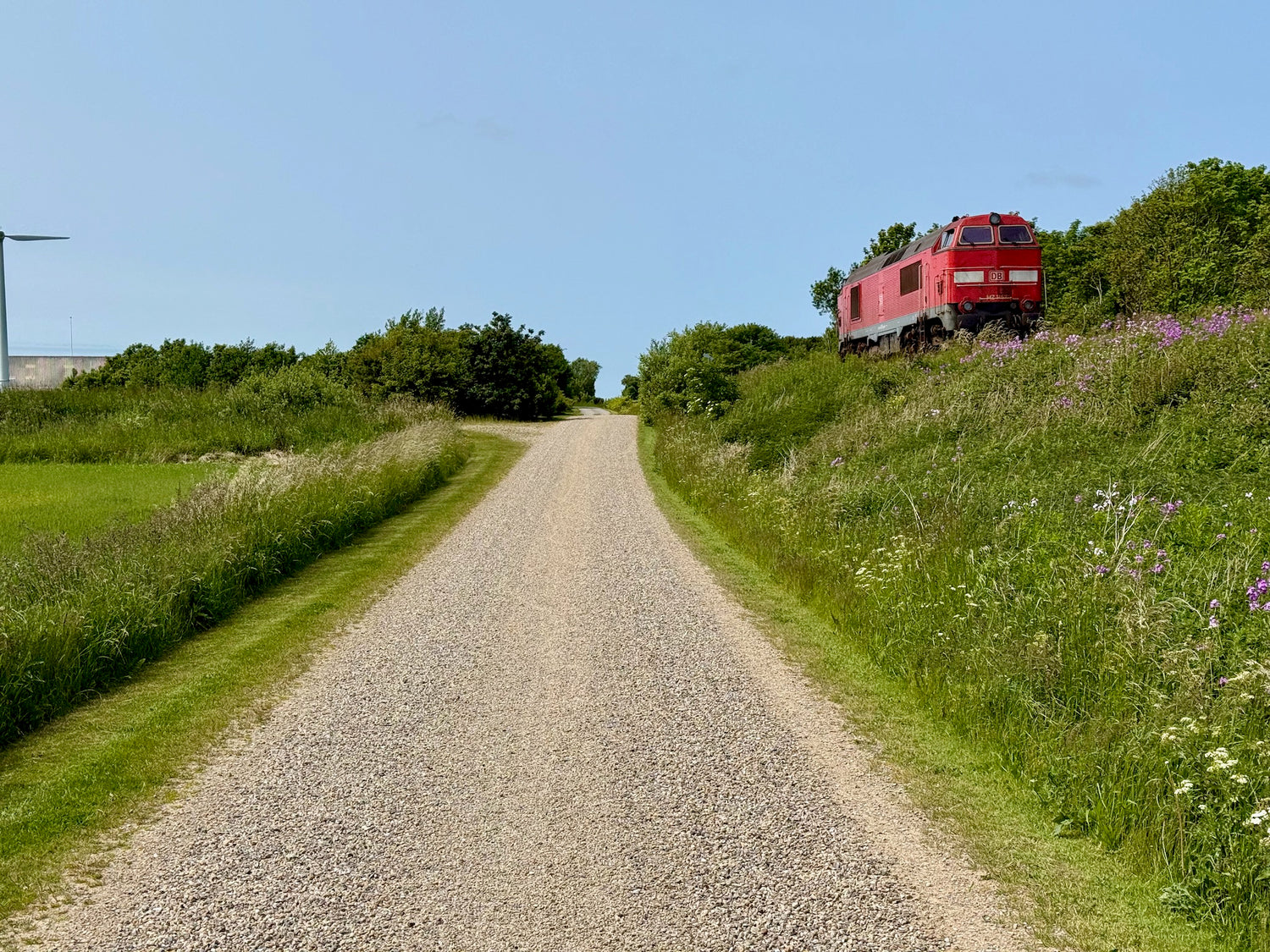
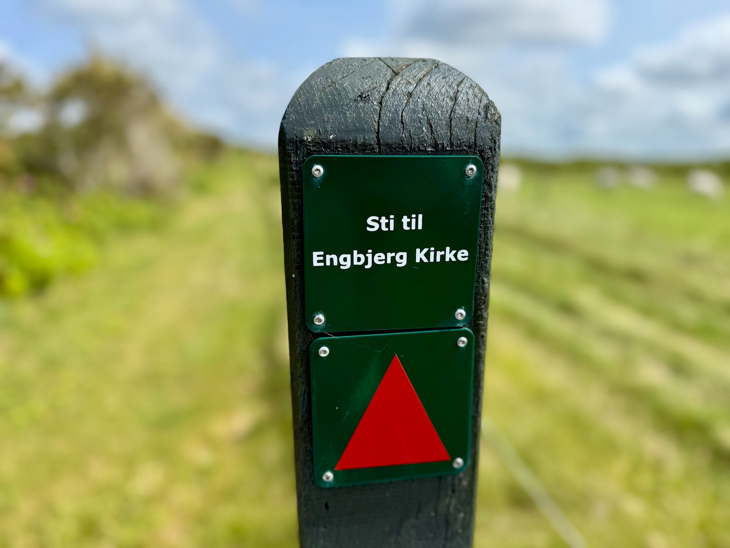
You can get information about each hiking trail by clicking on the images.
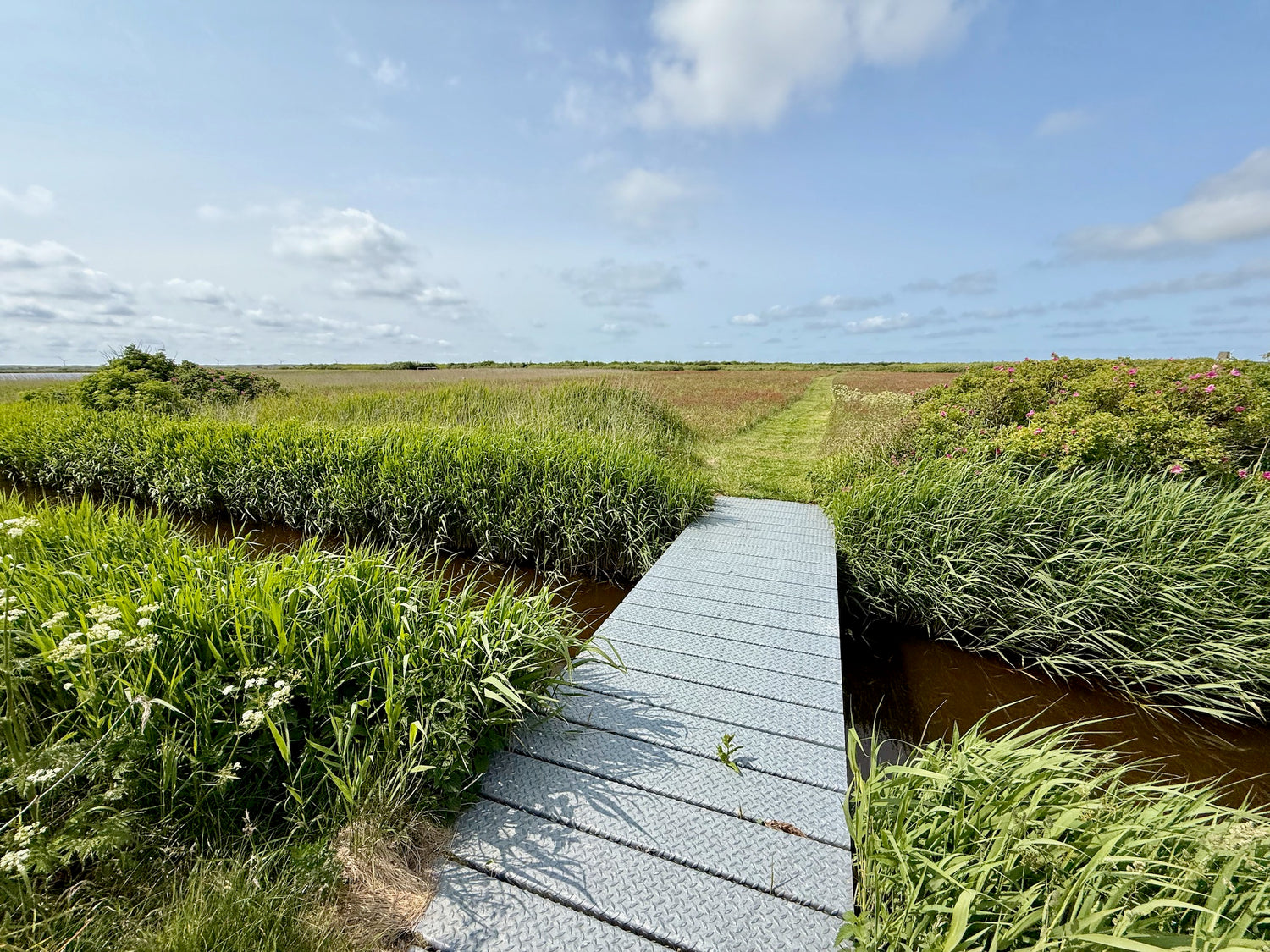
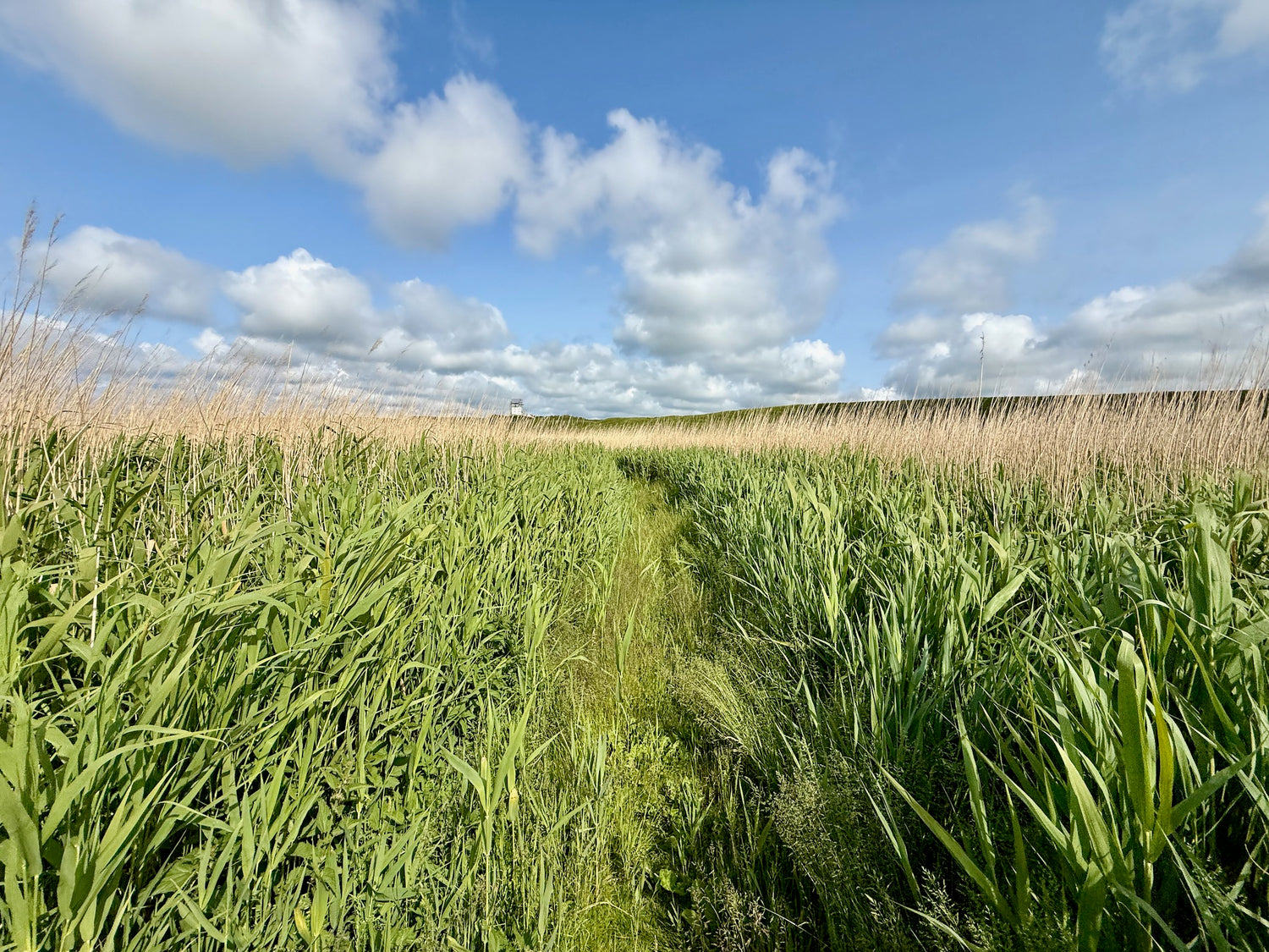
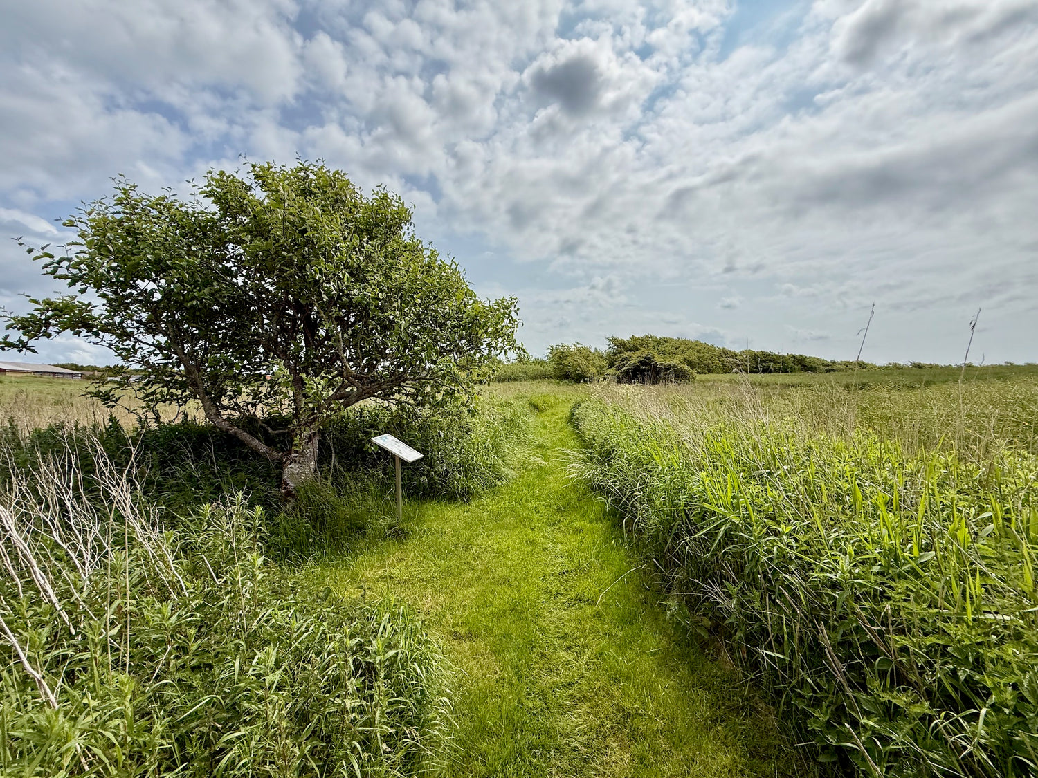
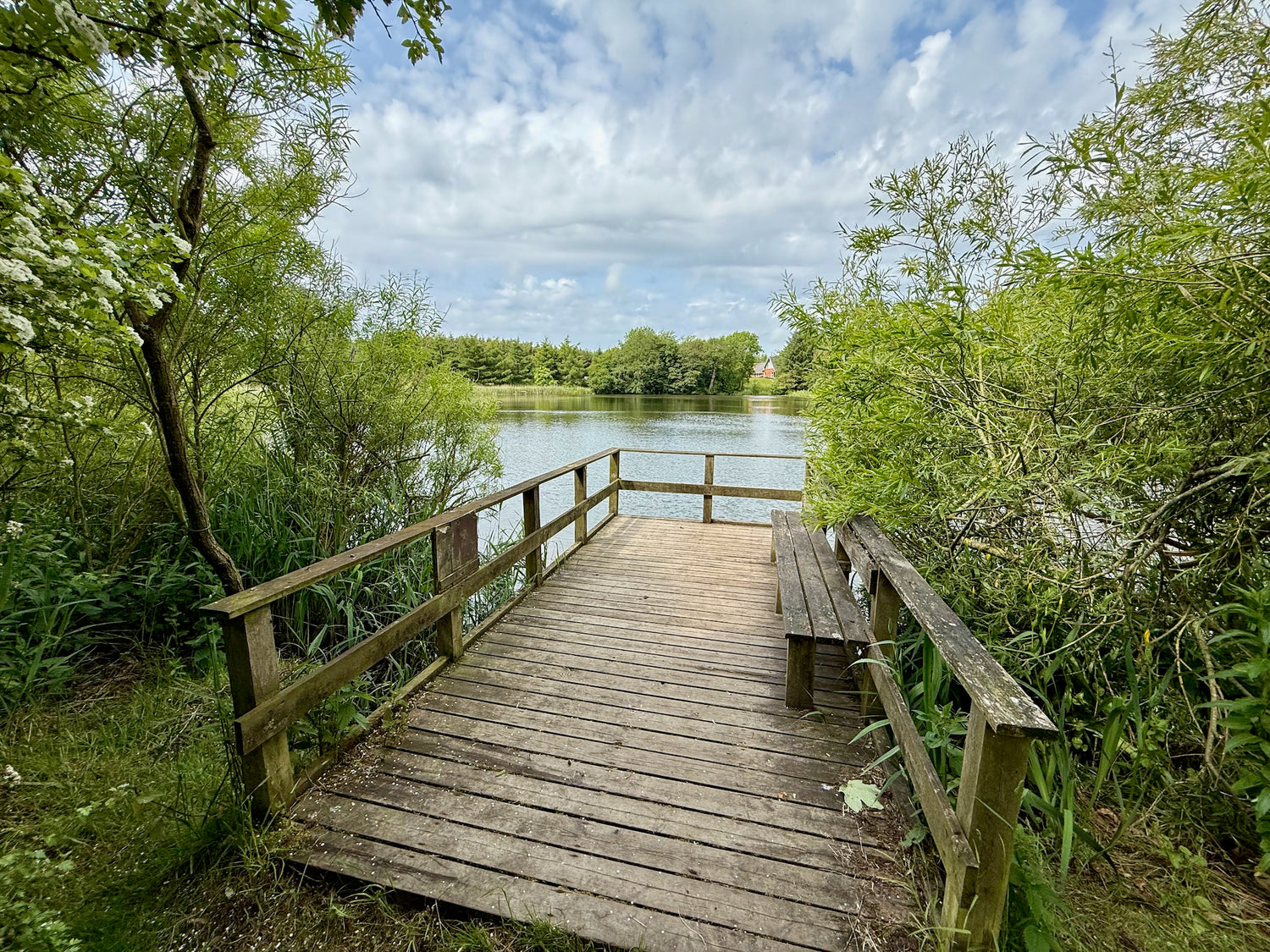
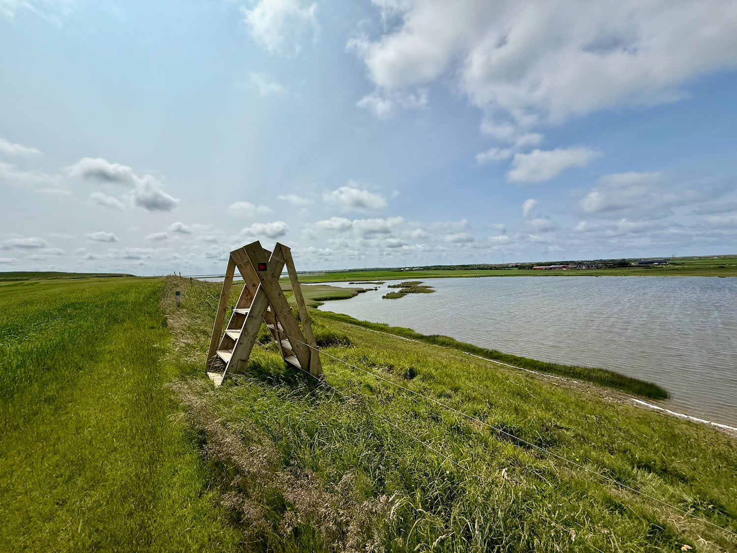
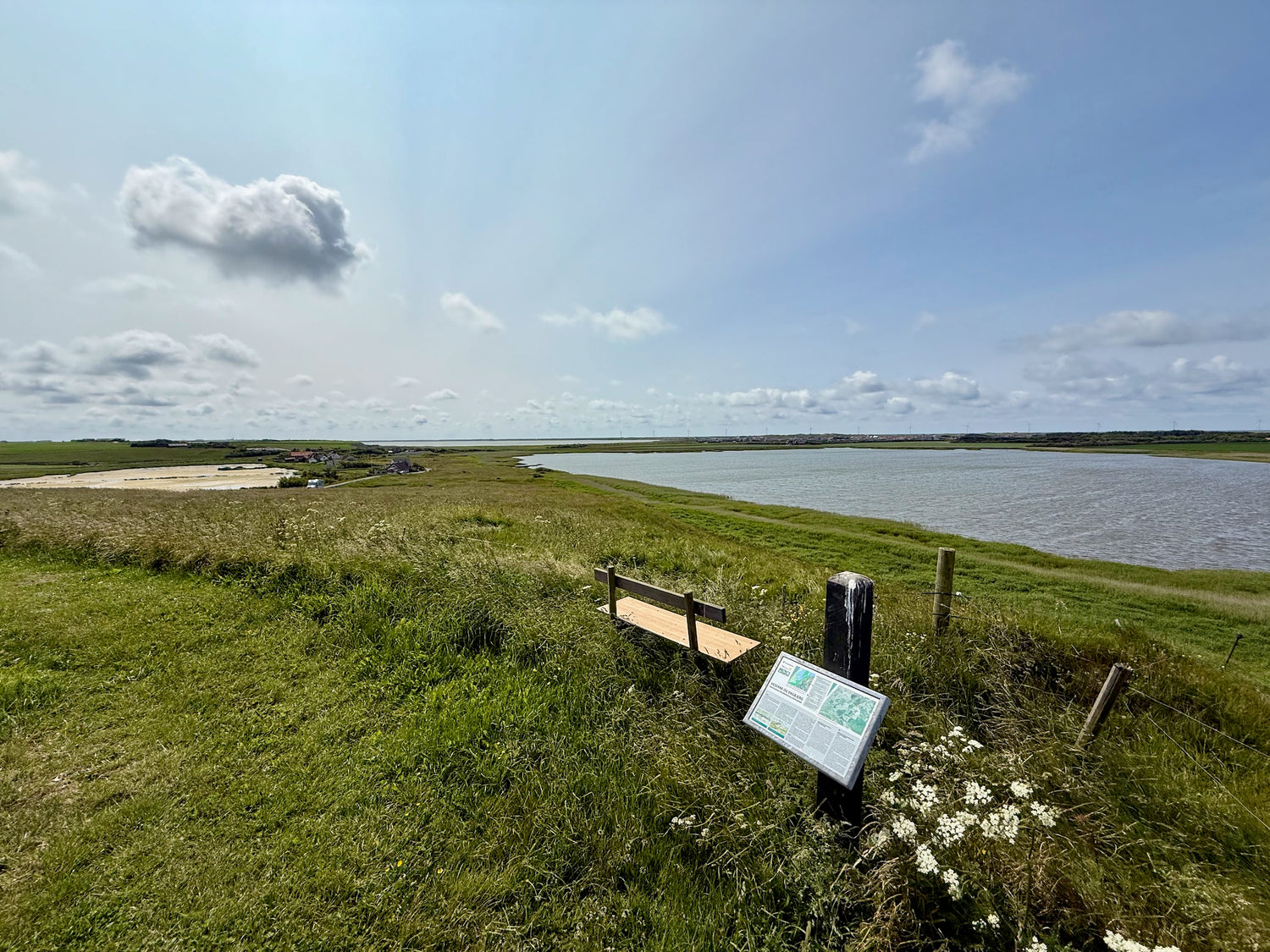
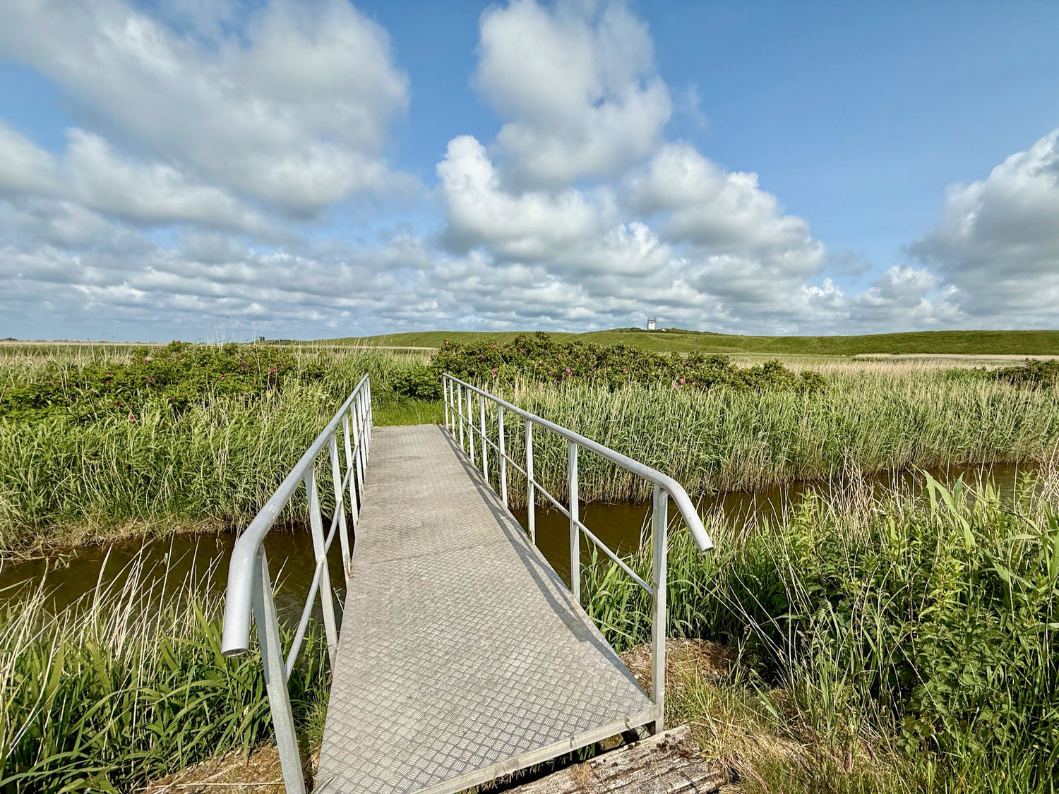
Around Noret
The path begins at Engbjerg Church and takes you through the reeds between the lakes, up to the prayer house and all the way around Noret Sø.
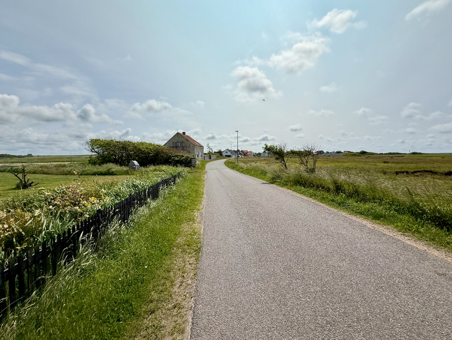
Bonnet Nature Trail
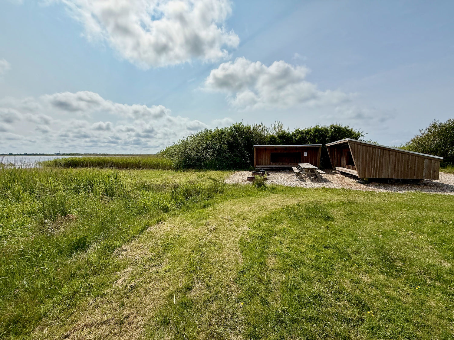
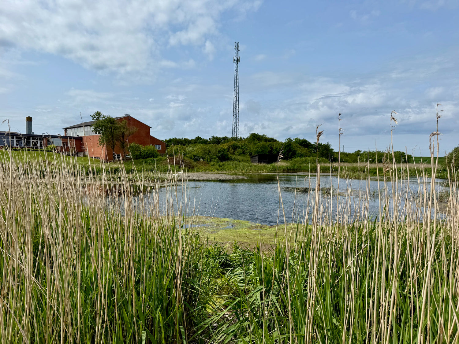
The Bonnet Nature Trail is a round trip that starts and ends in the town of Bonnet. Along the way, you can experience the area's rich birdlife. A particular highlight is the evening song of the birds at the bog behind the Friskolen, where you can hear the marsh warbler imitating many different bird calls as the sun sets.
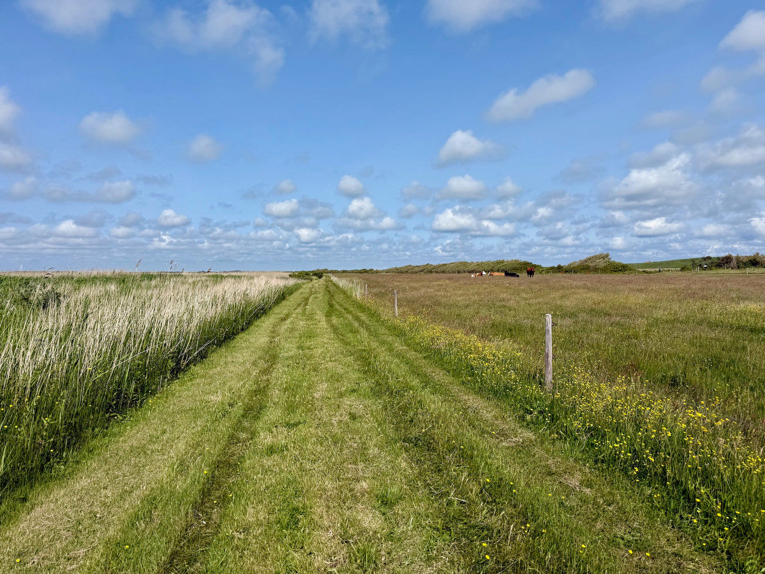
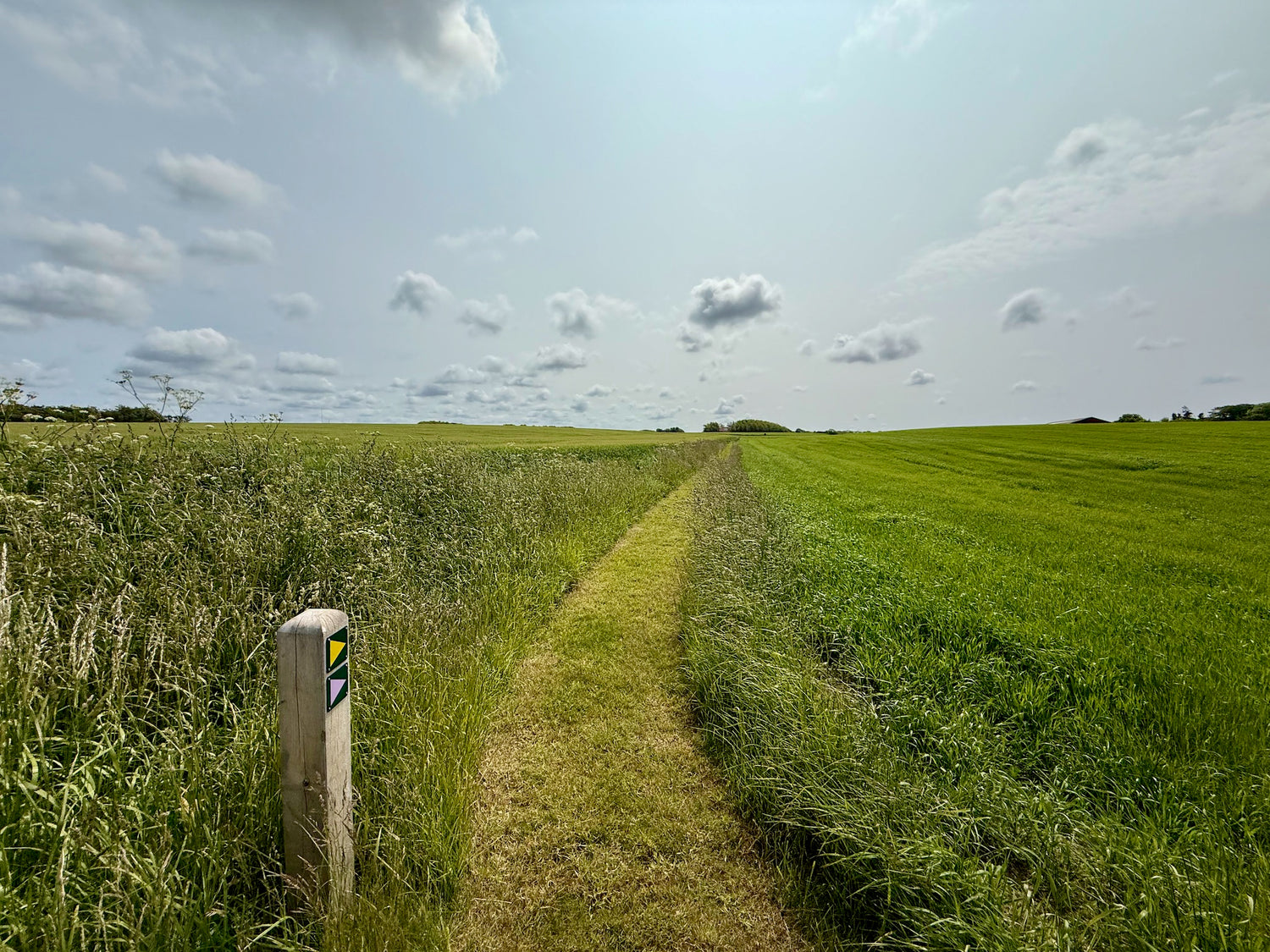
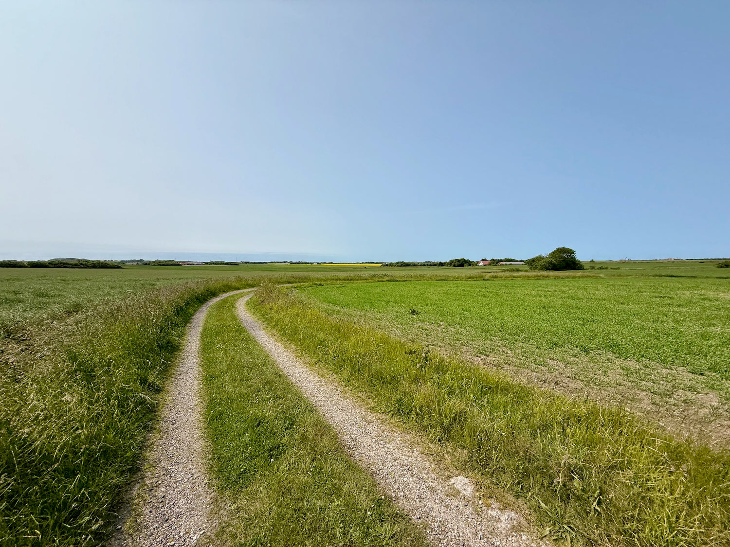
Klinkby-Houe-Tørringhuse - yellow route
You hike through a landscape shaped by the ice age with hills, depressions and old farmlands, where fields and meadows span a wide field of vision.
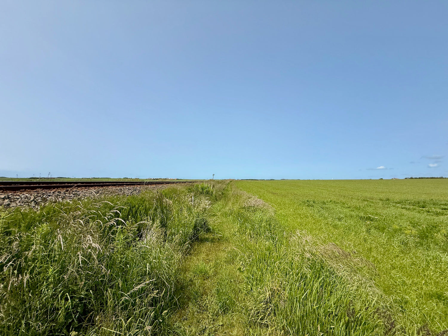
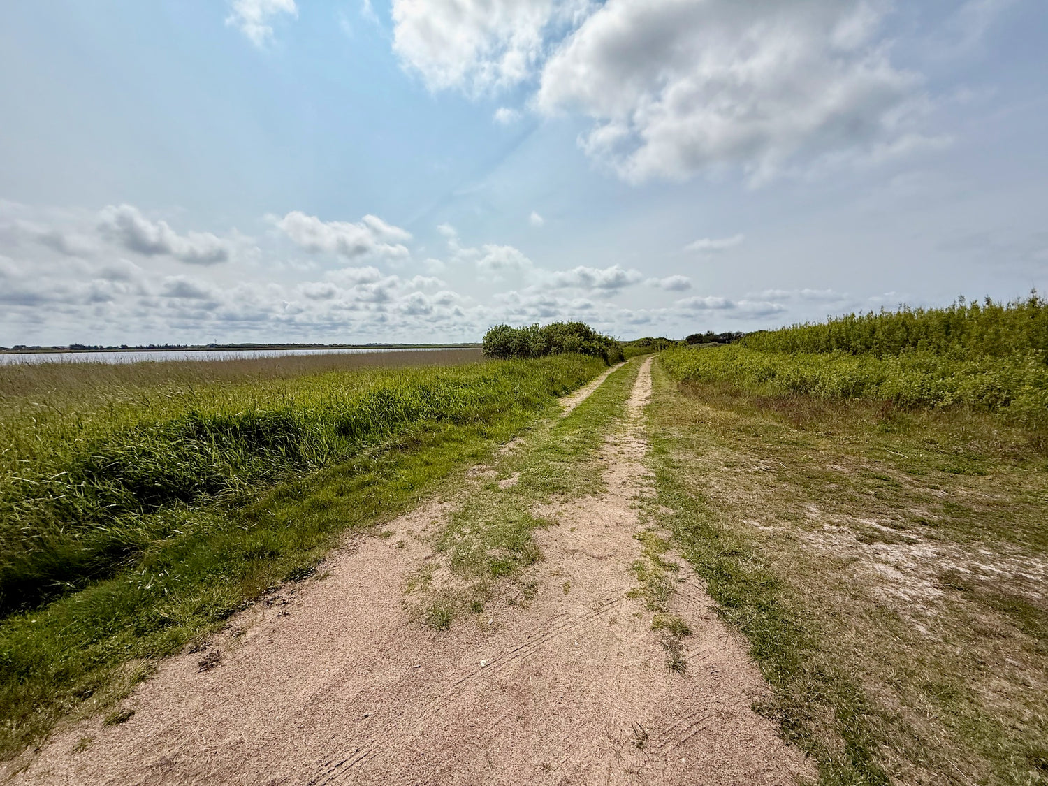
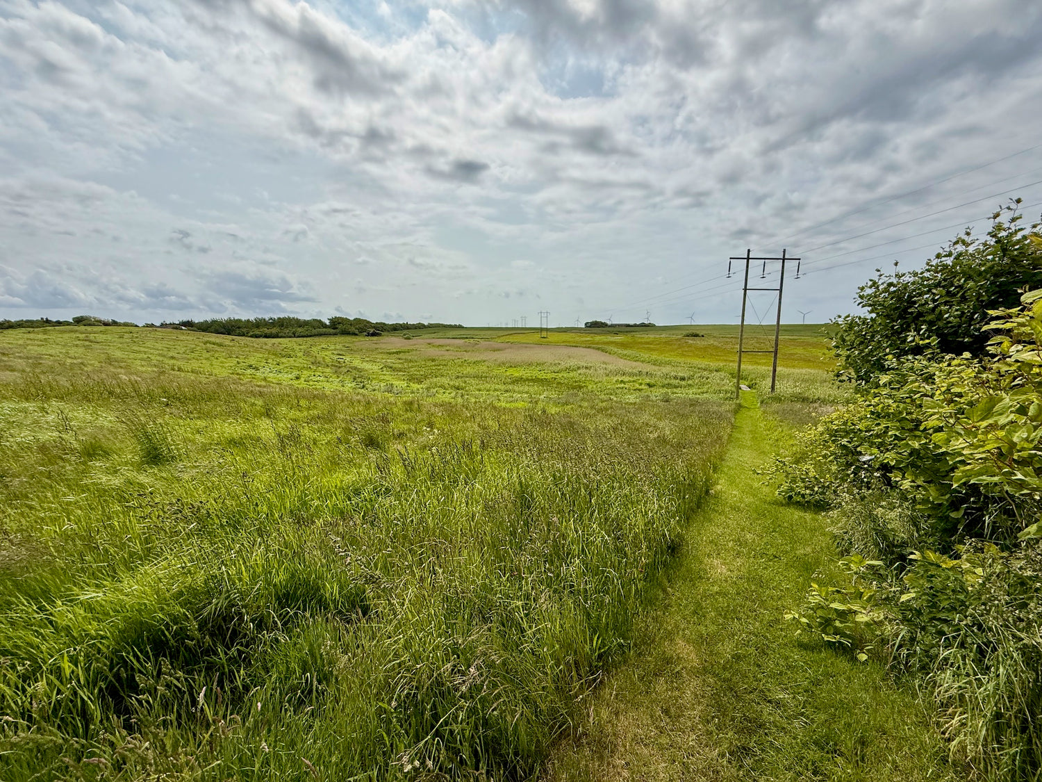
Around Mellemvese and Søndervese
The path takes you around Mellemvese and Søndervese and follows the edge of the moraine slopes with a fantastic view over Harboøre Tange and the North Sea.
Ideal order of the paths
We recommend that you walk the hiking trails in the following order (or vice versa) to get the least possible transportation distance between the trails:
- Engbjerg - yellow trail 6.2 km (1)
- Engbjerg - red trail 6.8 km (4)
- Klinkby-Houe-Tørringhuse - yellow route 6.2 km (3)
- Bonnet Nature Trail 2.5 km (2)
You can choose to skip paths so that the distance suits what you want to walk.
For example, if you want to walk 8.7 km, you can choose to walk along the Bonnet Nature Trail instead of following the Engbjerg – red trail and Klinkeby – yellow route after you have walked the Engbjerg – yellow trail.
Please note:
On Engbjerg – red trail, the route goes up and down a relatively steep slope, which can be challenging in wet weather.
If you walk Engbjerg's red and yellow routes in continuation of each other, the total distance is 2.3 km shorter.
Experiences and sights
-
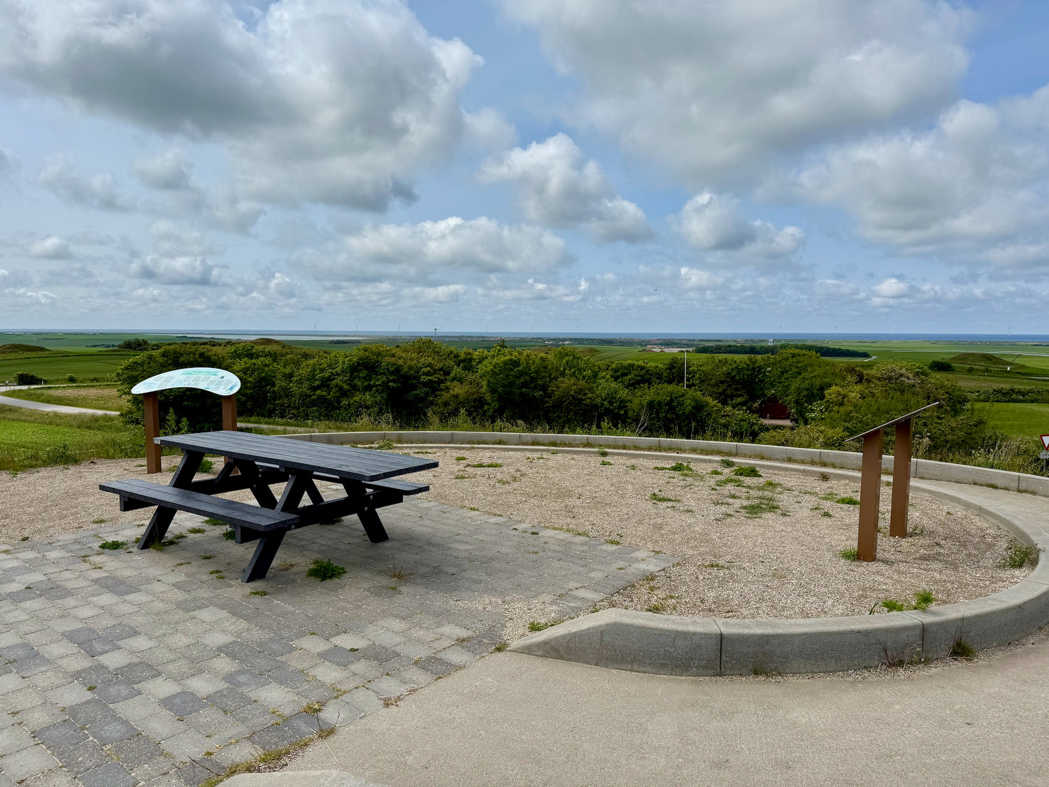
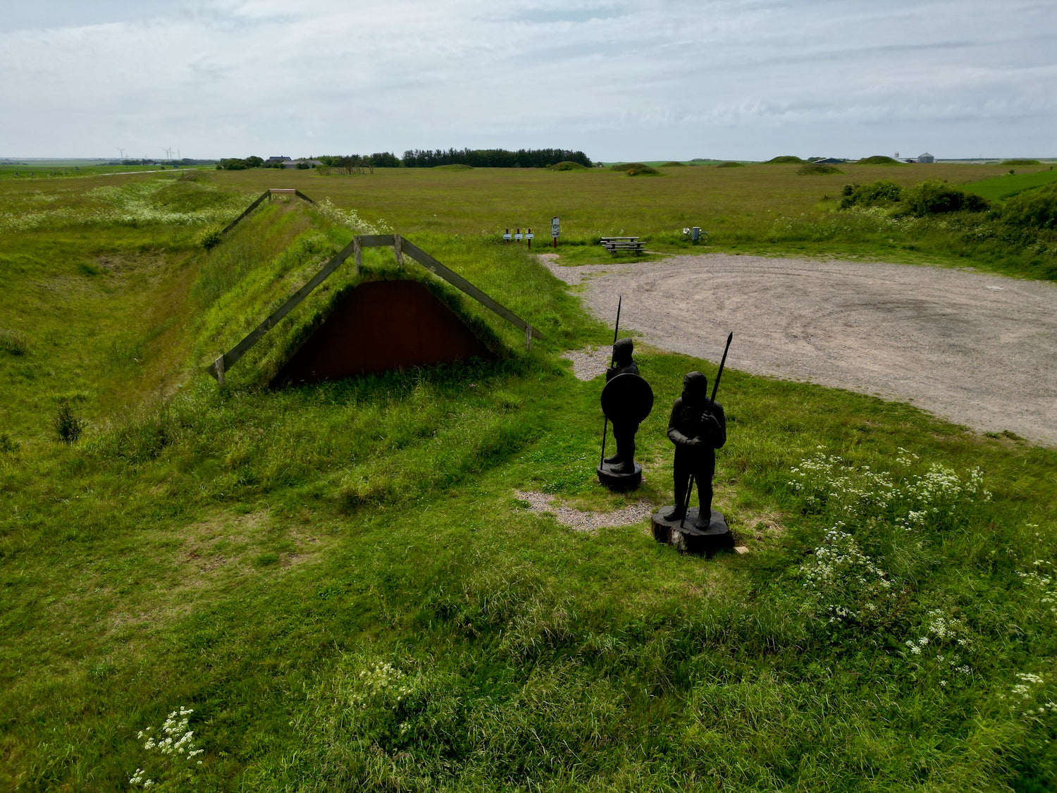
Hygum Hill
Hygum Bakke is an approximately 60 m high hill northwest of Lemvig with almost 30 Bronze Age mounds and an ancient Bavne mound used to warn of danger.
The area also includes a former water tower, German bunkers from World War II and an 18th century milestone. A disabled-friendly path leads to the top and offers panoramic views of the North Sea, Harboøre Tange and Nissum Bredning. -
Hygum Art Museum
Hygum Art Museum is an experimental museum housed in an old mission house. The dramatic surrounding landscape is part of the experience, and is run by volunteers. The museum opened in 2004.
With over 100 works created specifically for the site, contemporary art is described through light, space and nature. The exhibitions reflect minimalism and artistic experiments in interaction with the surroundings. -
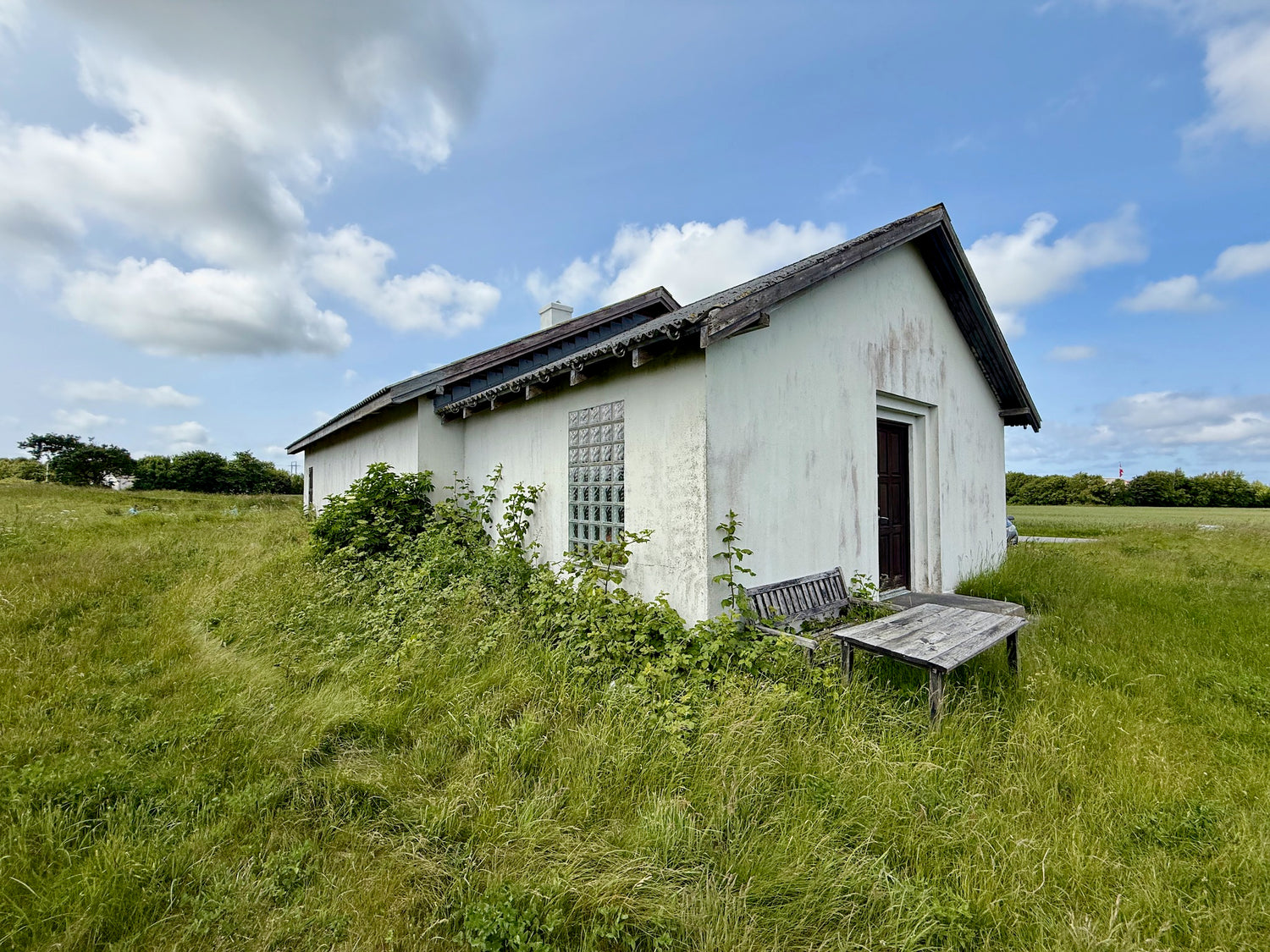
The prayer house
The prayer house is a small cement-cast prayer house from 1912, built by Christen Houe Mærsk in his spare time. With 14 stars on the roof and engraved Bible verses, the house has served as a private place of worship, especially during floods.
After standing on the same farm for over 100 years, the house was moved and renovated in 2022 thanks to local efforts. -
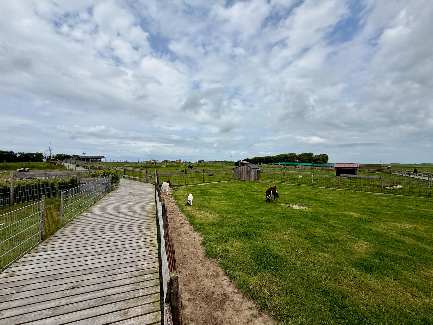
Hygge Dyrehave
Hygge Dyrehave is a cozy mini zoo located in Ramme near Lemvig. Here visitors can get up close to a variety of animals and interact with them in a relaxed and scenic atmosphere. It is possible to bring your own food and enjoy it in the beautiful surroundings.
Hygge Dyrehave offers a unique opportunity to get close to the animals and experience a different kind of interaction with nature. -
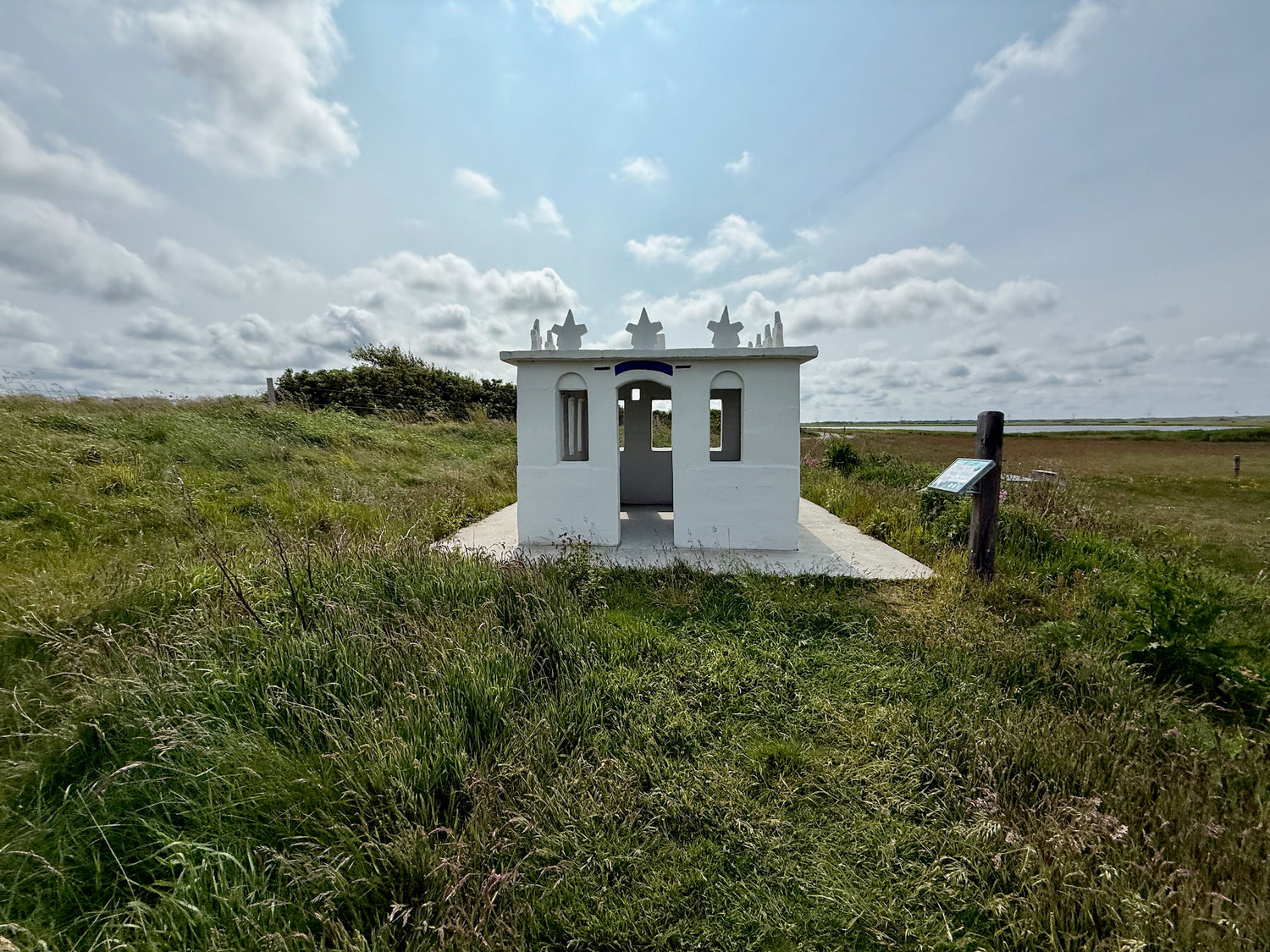
Rammedige
Rammedige is an impressive Iron Age fortress located south of Lemvig near the North Sea. Built between 100 and 400 AD, it originally stretched 2–2.5 km and was up to 4 meters wide and 2 meters high. Today, approximately 1.65 km is preserved and protected.
The defense consisted of a rampart, a deep ditch and nearby bogs, which together protected against enemies from the east. West of the rampart are burial mounds from the Stone and Bronze Ages, and in 2011 30 meters of the rampart were reconstructed. -
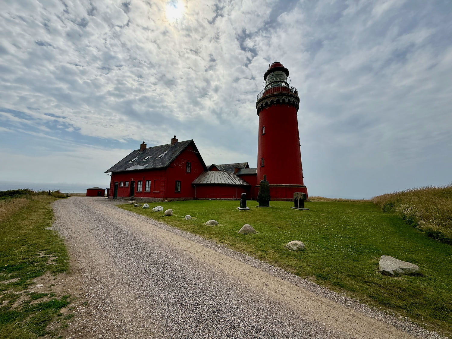
Bovbjerg Lighthouse
Bovbjerg Lighthouse is an iconic red-limestone lighthouse that has stood on the edge of the 41-meter-high Bovbjerg Cliff by the North Sea since 1877. With its 93 steps up to the lantern, the lighthouse offers spectacular views of the rugged coastal landscape and the open sea.
Today, the lighthouse functions as a cultural gathering point with changing art exhibitions, lectures and communal meals and houses a cozy café in the former lighthouse keeper's residence, where visitors can enjoy homemade pastries and local specialties. -
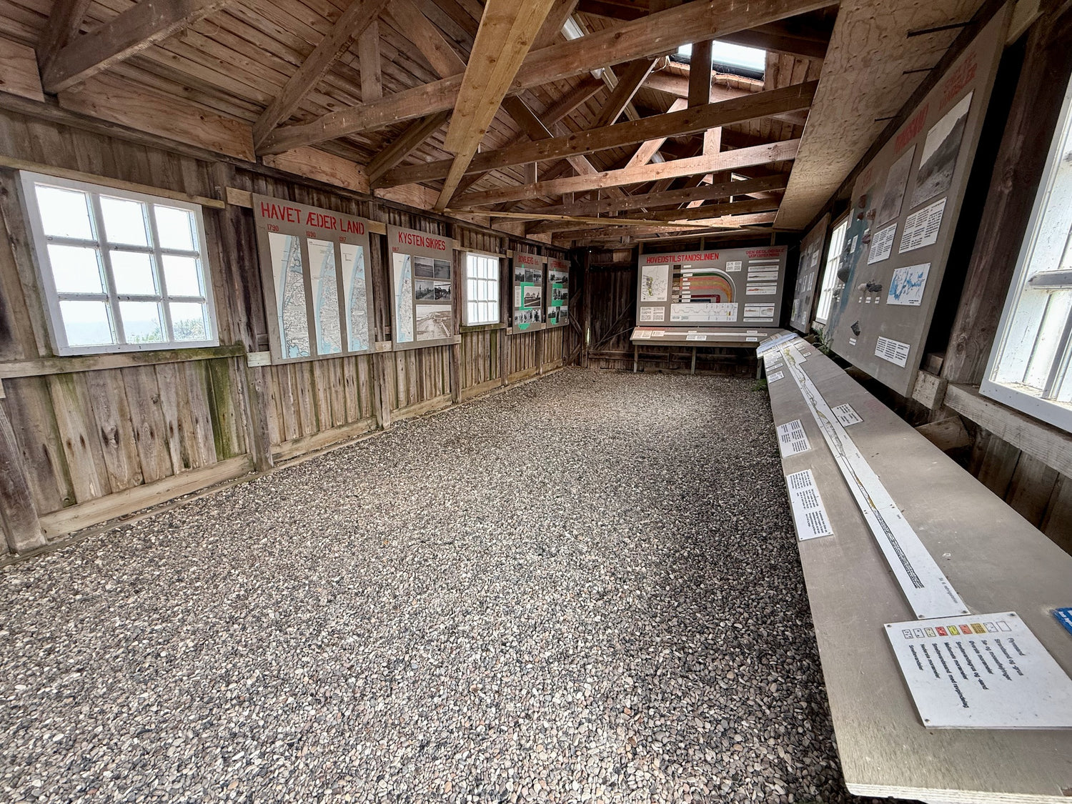
Bovbjerg Minimuseum
Bovbjerg Minimuseum is a small, free museum that provides insight into the area's geology and cultural history. The exhibition, located in a former coastal directorate building, presents panels about the receding coastline and strandings.
The museum focuses on the natural forces that have shaped Bovbjerg's dramatic coast, and tells about the many shipwrecks that have characterized the area. -
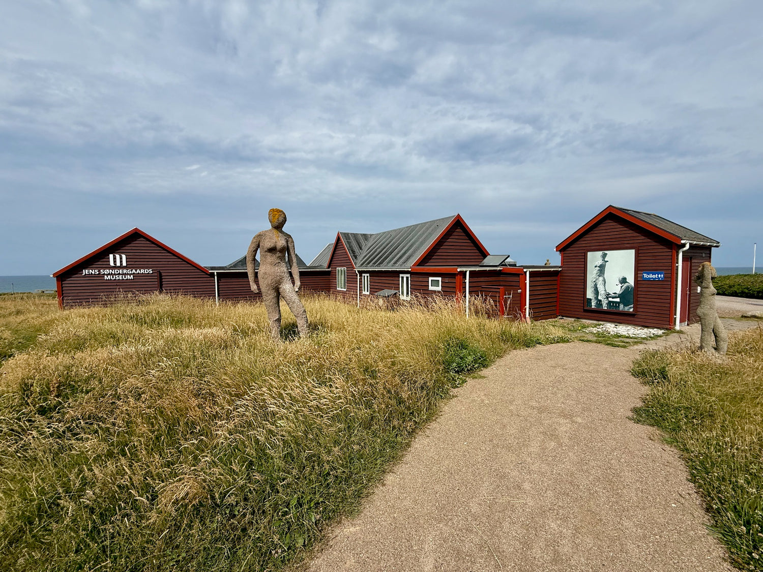
Jens Søndergaard's Museum
Jens Søndergaards Museum is located on the slope of Bovbjerg Klint near Ferring, where the painter Jens Søndergaard (1895–1957) found his greatest inspiration. In 1930, he bought a wooden house that served as a summer house and studio, and he spent many summers here painting.
The museum houses a collection of his works, primarily with motifs from the West Jutland landscape and the sea. After his death in 1957, he bequeathed the house and the painting collection to the municipality, and the museum was inaugurated in 1958.


Restaurants and cafés
-
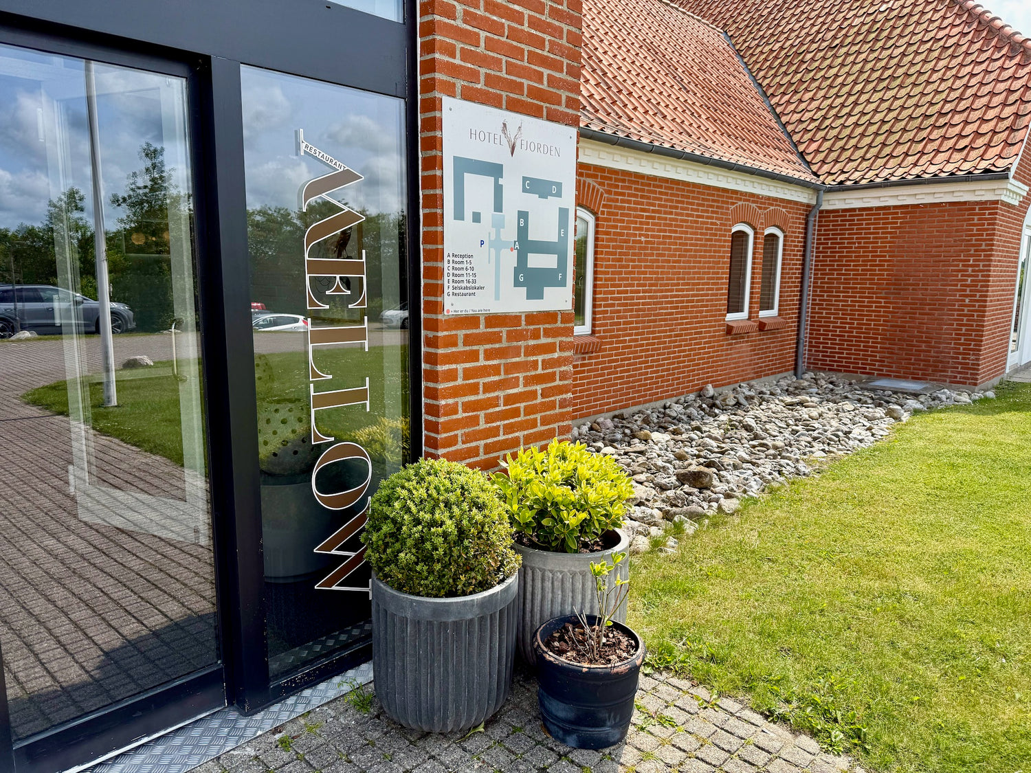
Restaurant Mellow
Restaurant Mellow in Lemvig welcomes you in a modern, cozy setting with a relaxed atmosphere - perfect for both everyday life and festive occasions.
The cuisine combines fusion flavors with grill classics, a fresh salad buffet and seasonal dishes prepared with quality and passion. -
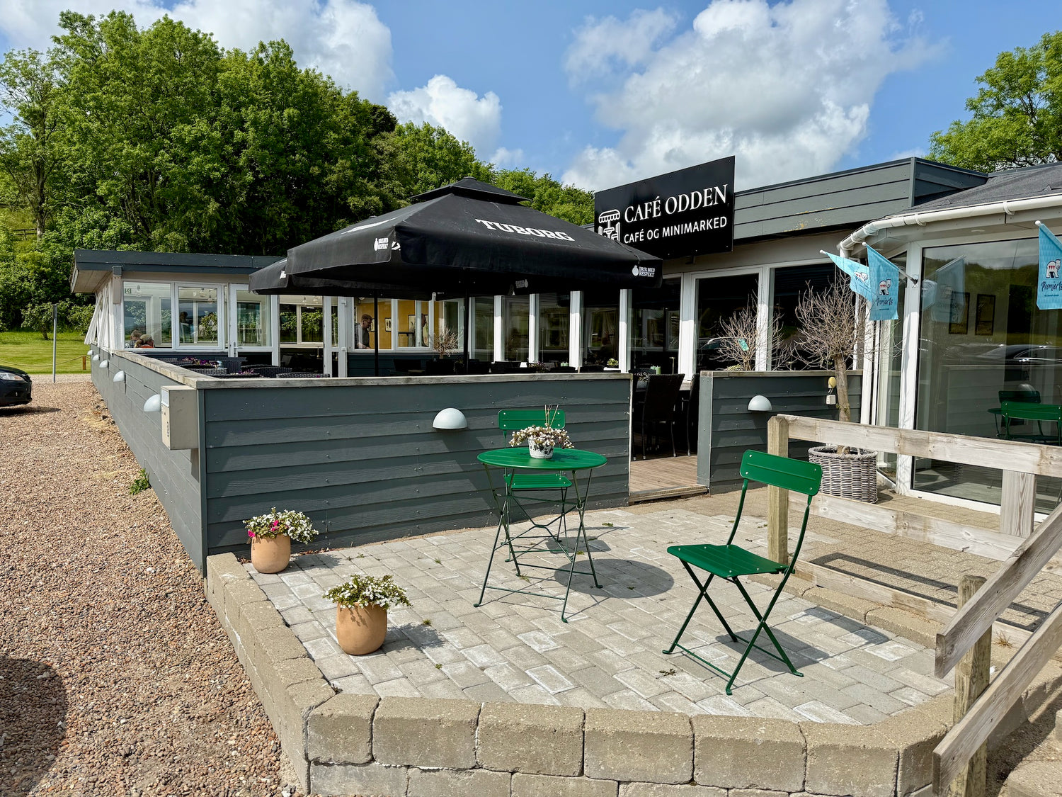
Café Odden
Café Odden is beautifully located by the water at Lemvig with a beautiful fjord view and a relaxed atmosphere.
The menu offers fresh Danish dishes with a creative twist, large portions and reasonable prices. Focus on good ingredients, a cozy atmosphere and extra theme nights such as pork roast and barbecue.

