Klosterheden Plantation
- the northern part
Klosterheden Plantation
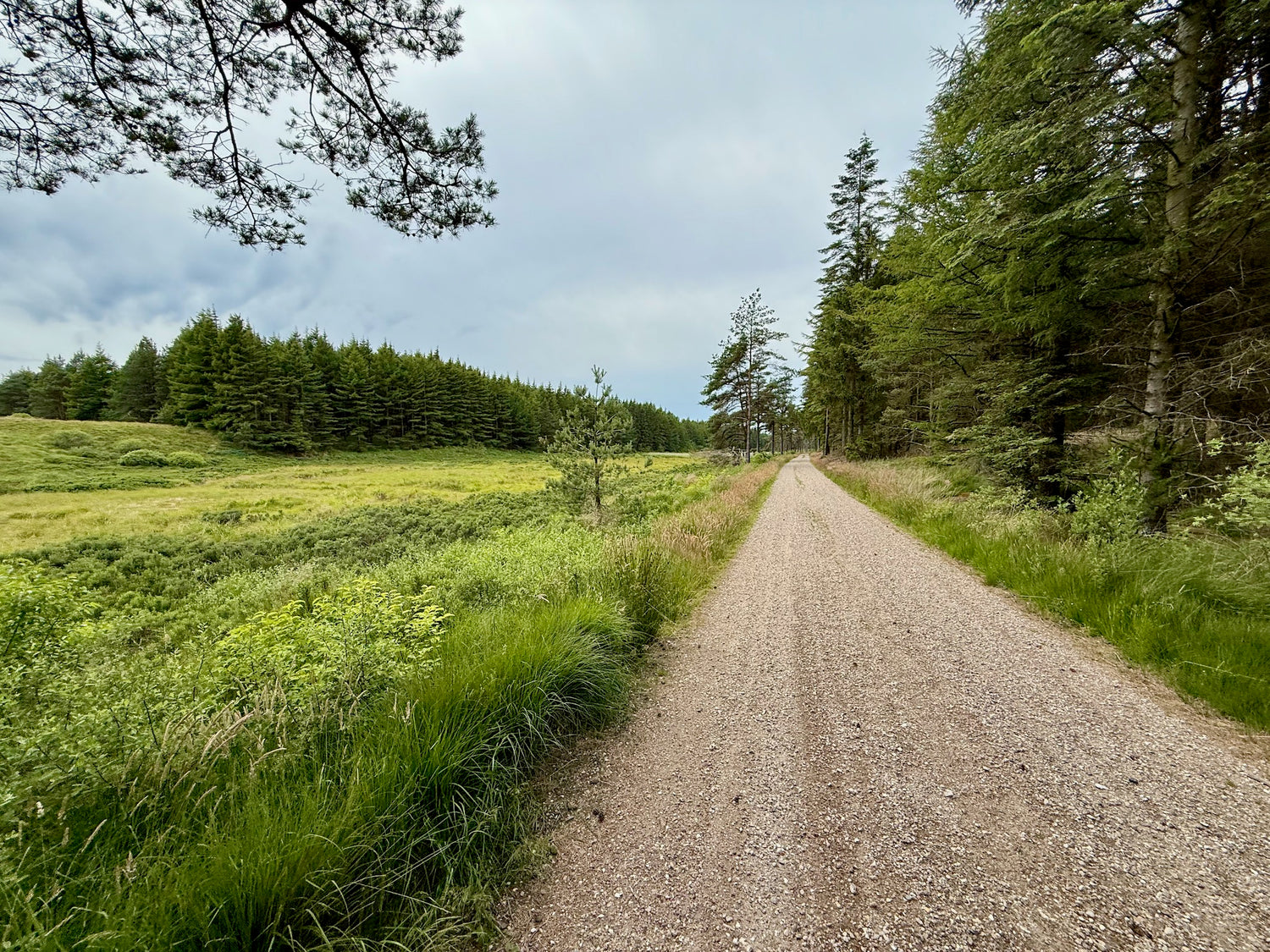
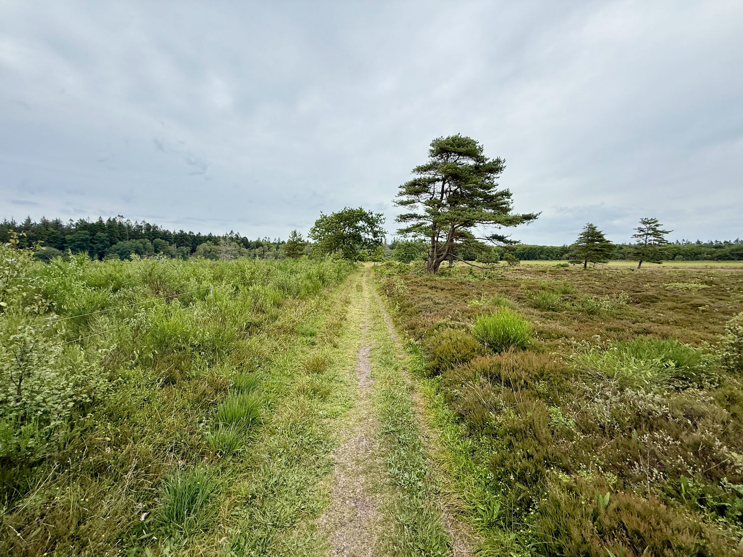
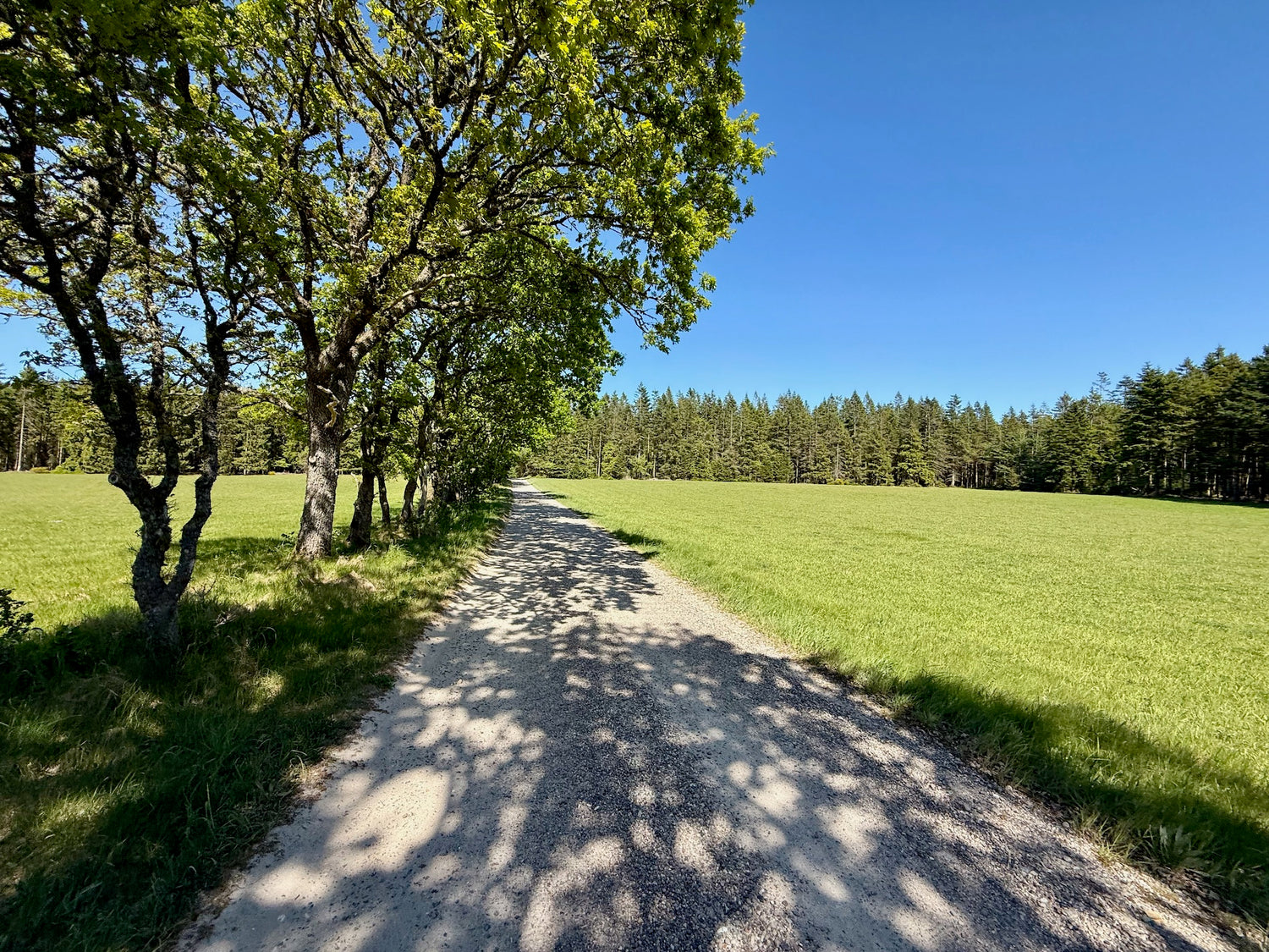
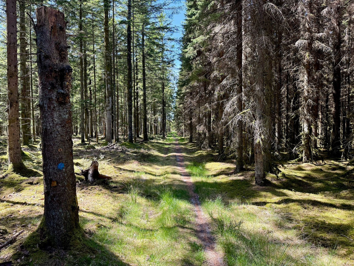
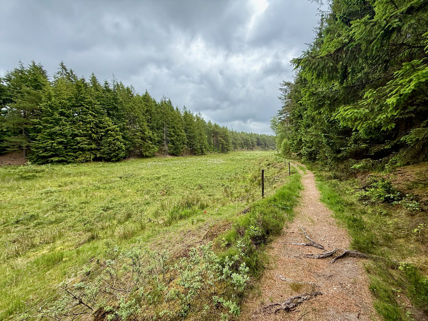
Klosterheden Plantage, at approximately 6,400 hectares, is Denmark's third largest forest area and offers coniferous and deciduous forests, heaths, bogs, lakes and streams. The area was raised from deserted heath in the late 19th century and is today managed with a focus on natural management.
The plantation is home to a large population of red deer (over 400 animals), beavers (reintroduced in 1999 and now more than 200), roe deer, fallow deer, otters, and predators such as badgers and foxes. In addition, the area has a rich bird and insect life, including ultra-rare species.
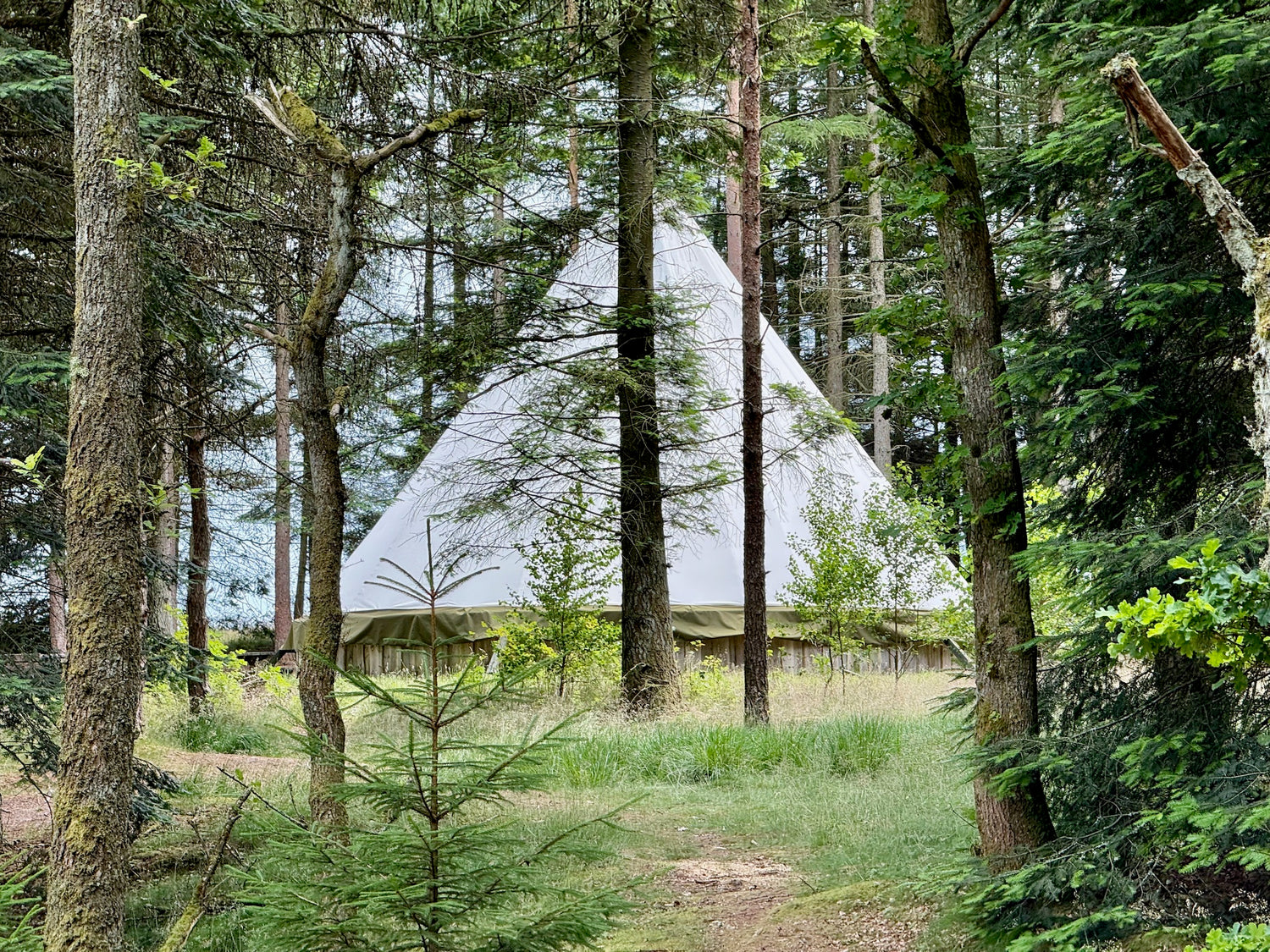
There is an extensive network of marked hiking trails, up to 50 km of MTB trails, riding and nature trails, as well as outdoor facilities such as shelters, campfire sites and bird towers at Ællebæksøerne. A special Lavvu, which can be booked, is used by the Royal Family during official events.
The plantation also contains ancient monuments such as Bronze Age mounds, milestones along Gammel Landevej and remains from World War II.
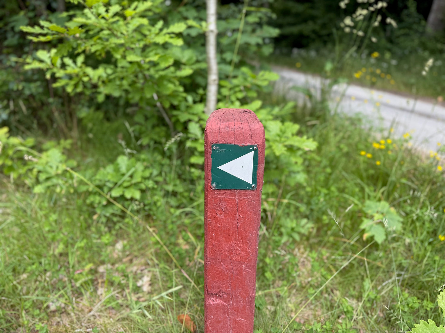
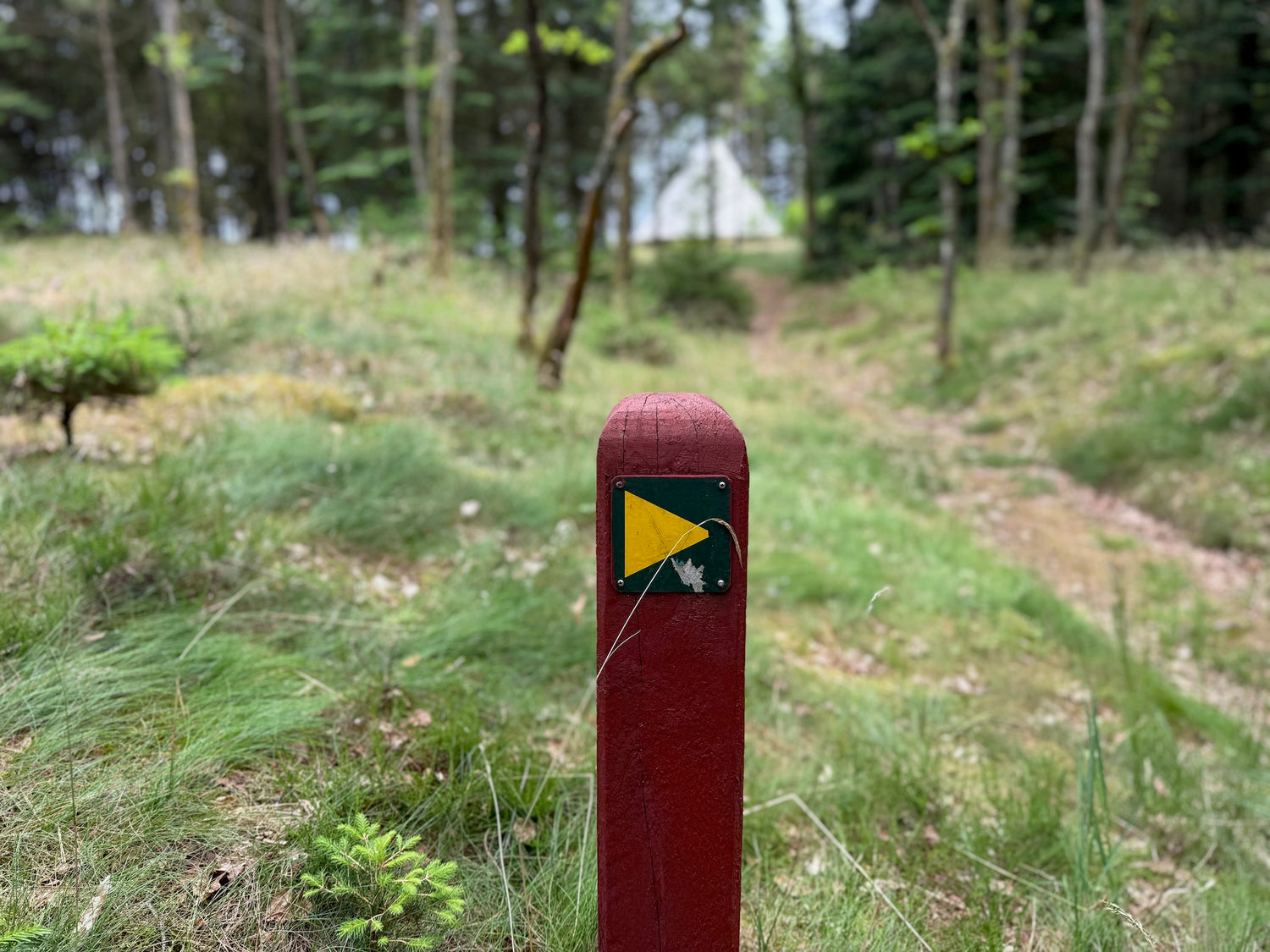
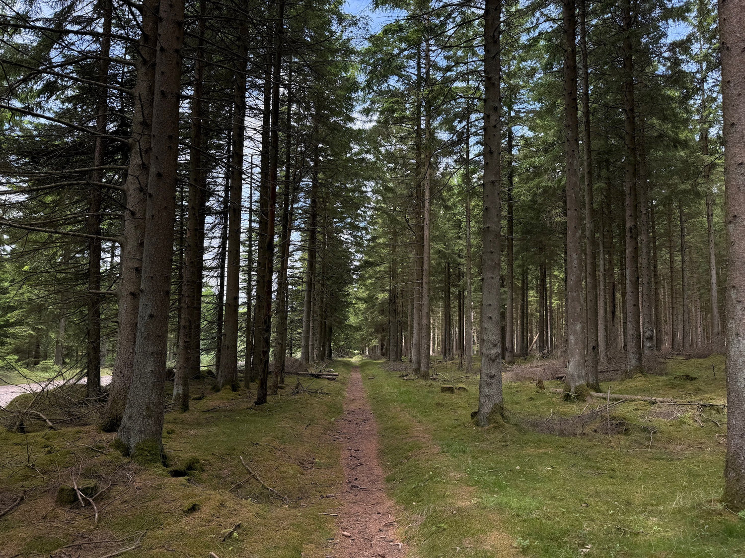
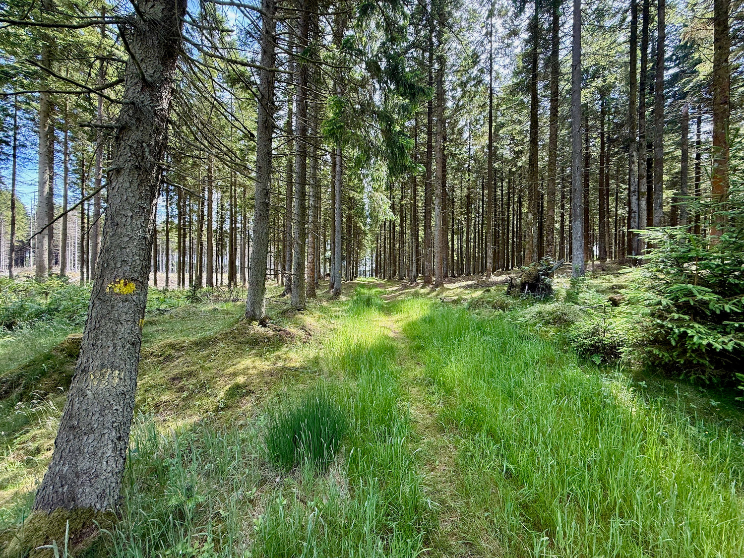
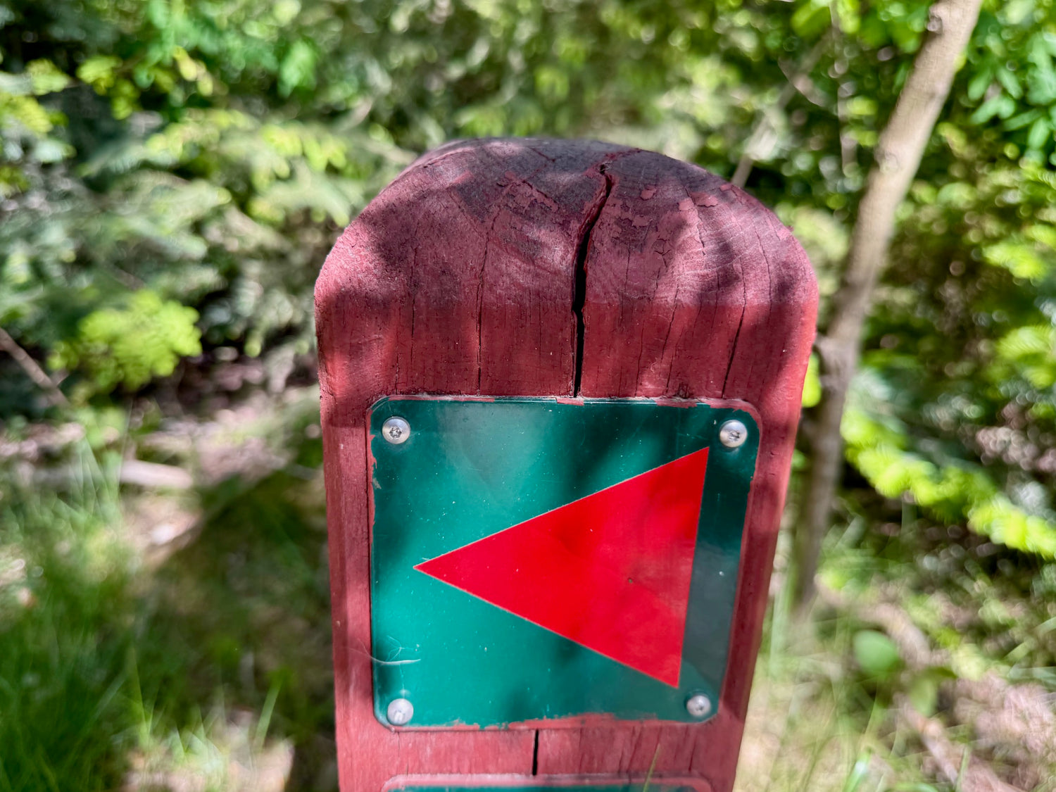
The hiking trails
Below you will see the selected hiking trails from the hiking area with an indication of kilometers.
We have prioritized the trails with our favorite trail in the area as the first.
You can get information about each hiking trail by clicking on the images.
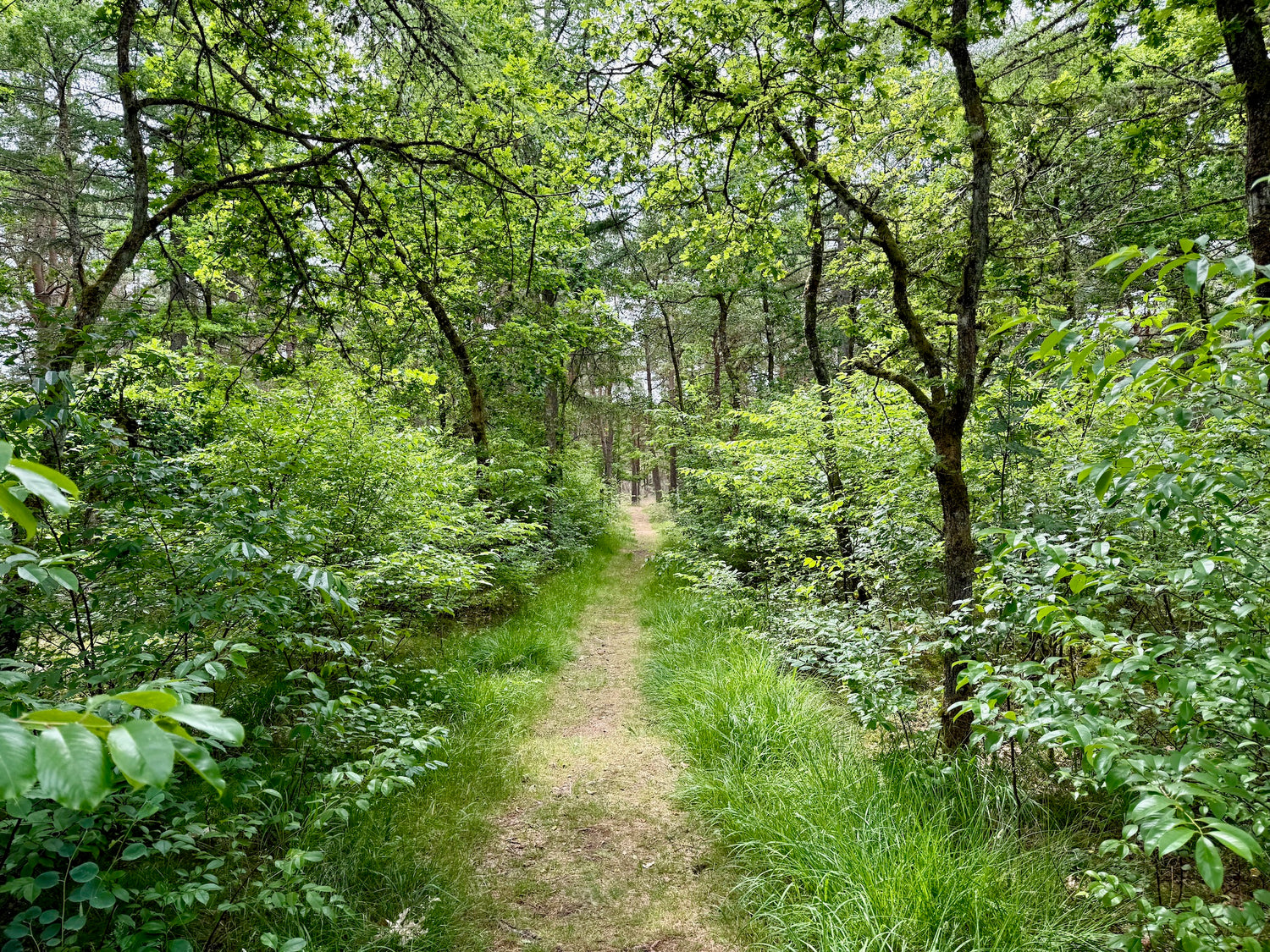
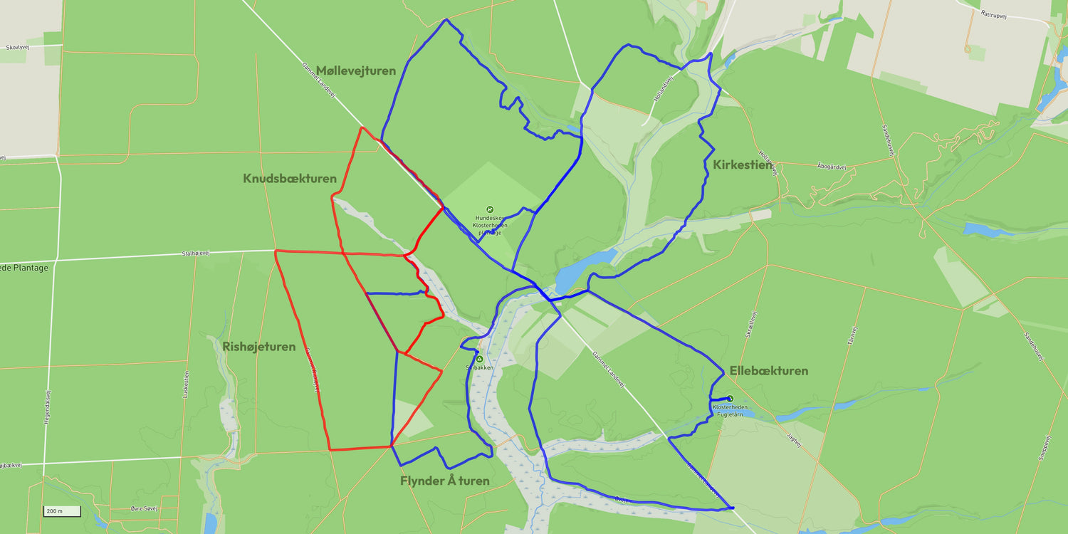
Flynder Å turen
The route begins at Møllesøen and leads through scenic, forested areas along Flynder Å.
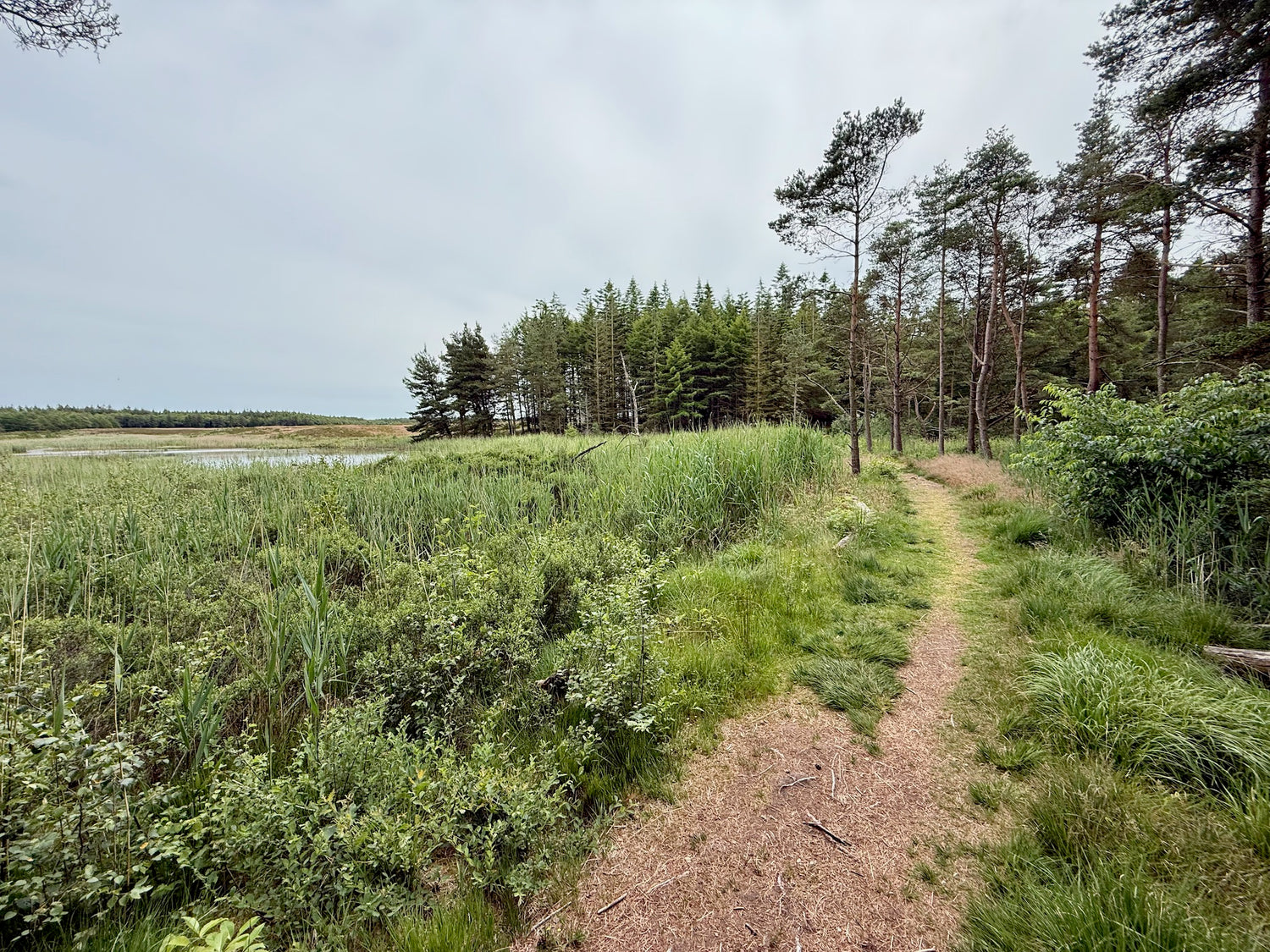
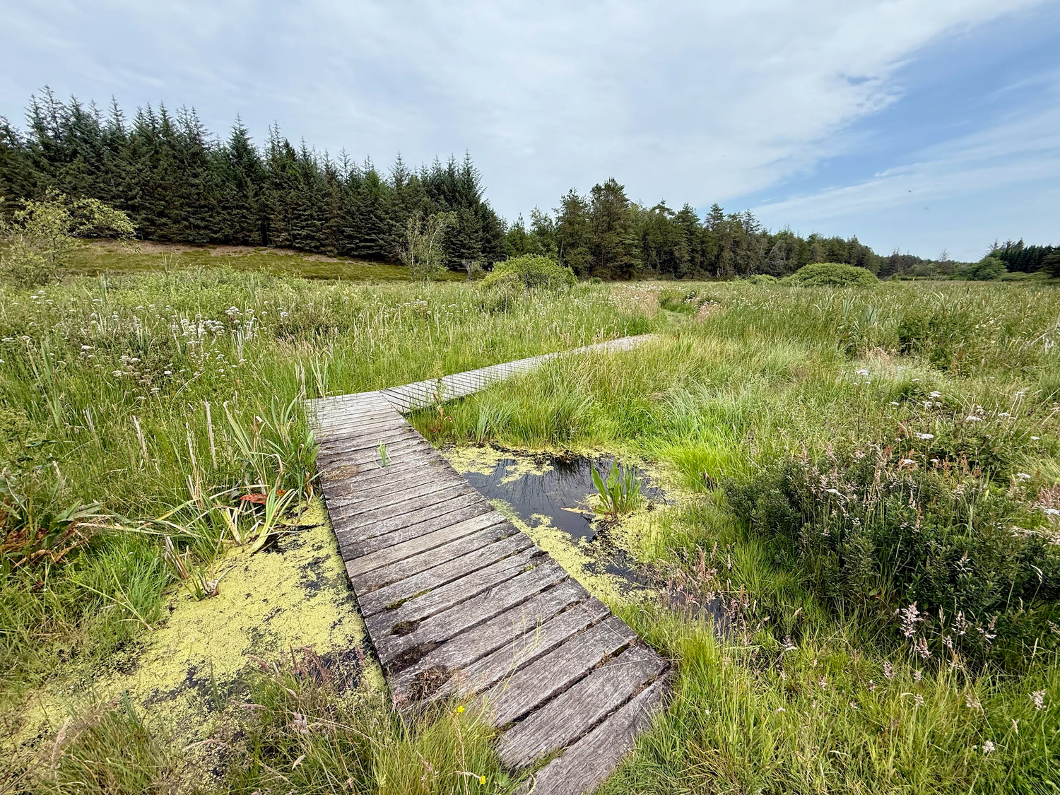
Ellebækturen
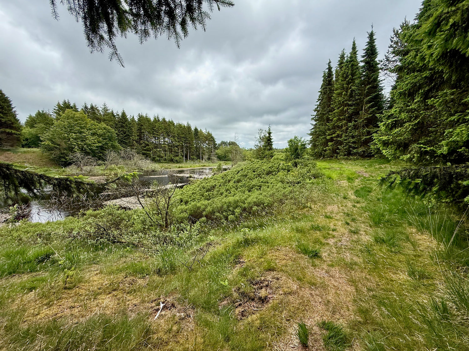
The trip takes you through varied, hilly terrain with open spaces and dense forest. You will pass the bird tower, where you have a beautiful view of tEllebæksøerne and Fladhøj Hede.
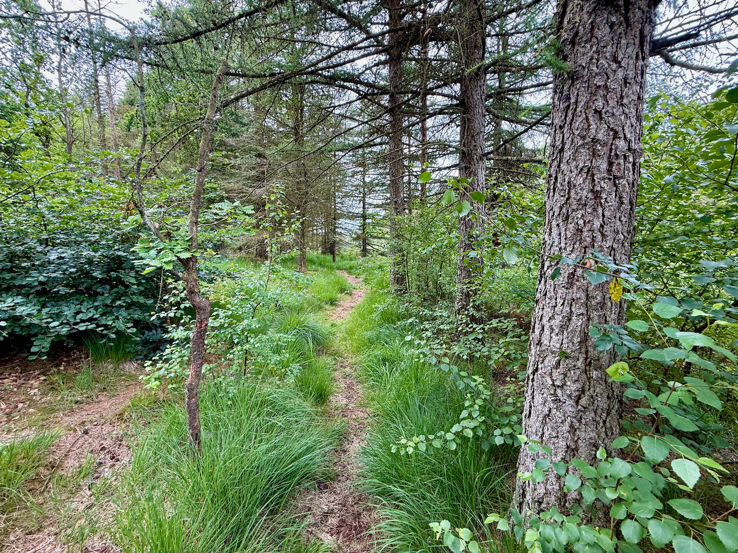
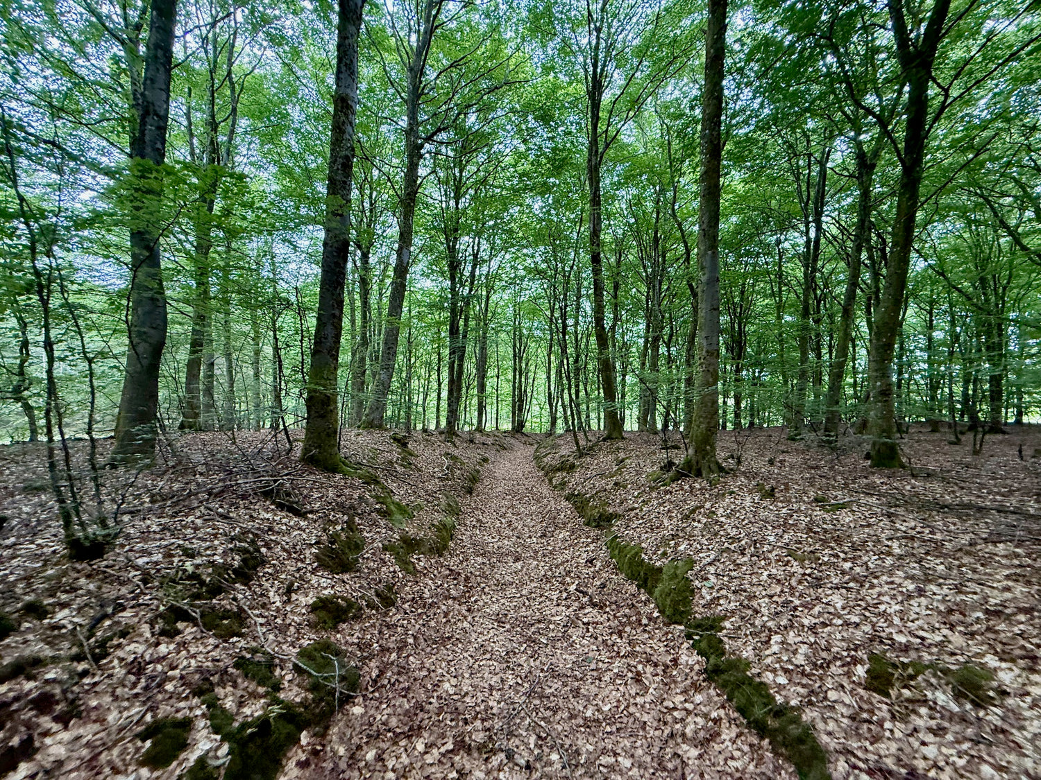
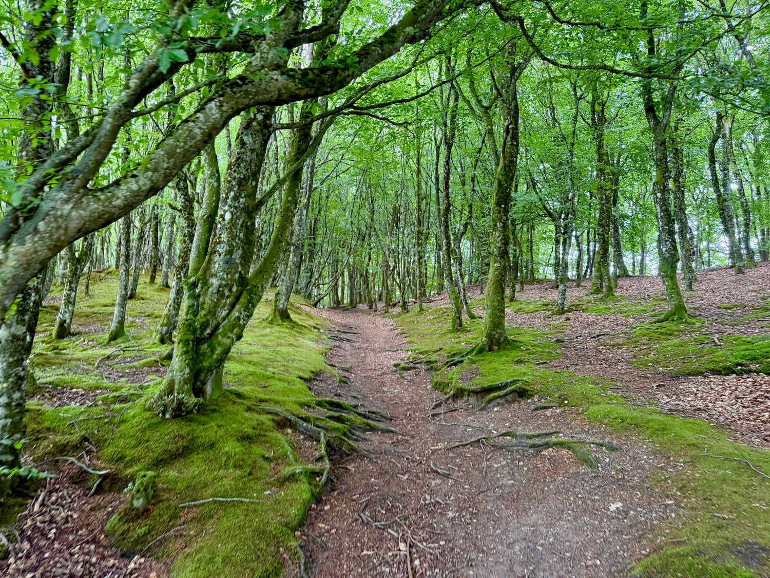
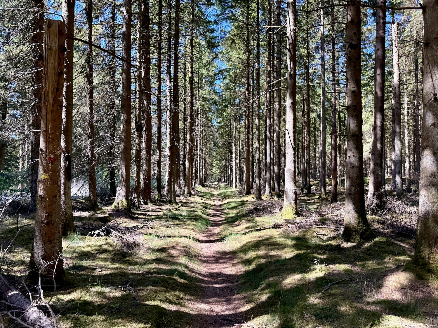
Kirkestien
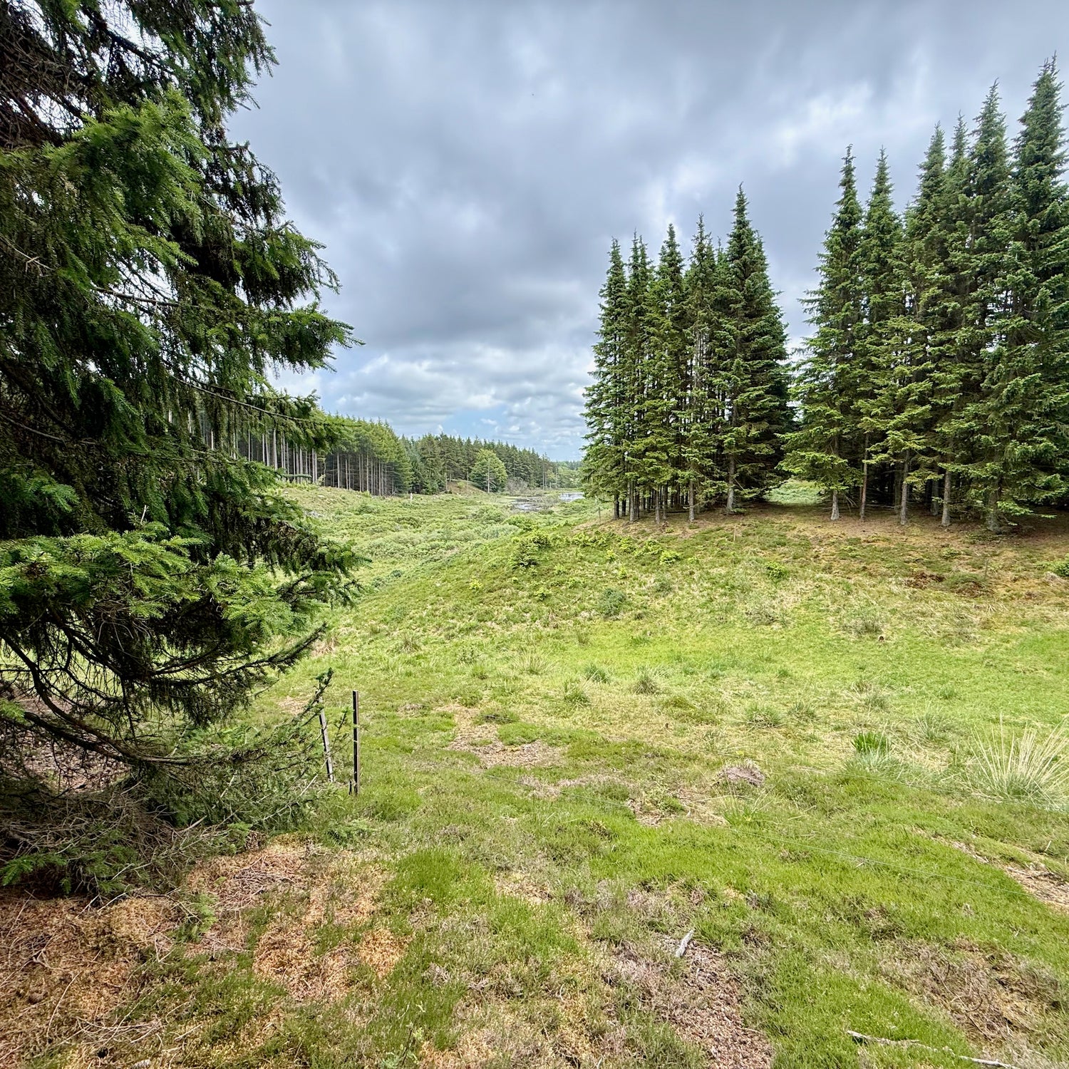
You follow a varied route through the plantation, where you move through quiet forest areas with both coniferous and deciduous trees and the possibility of wildlife along the way.
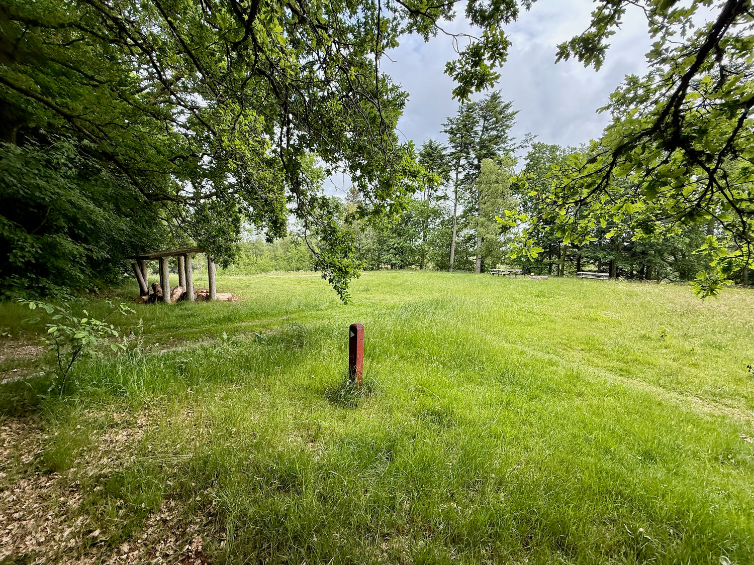
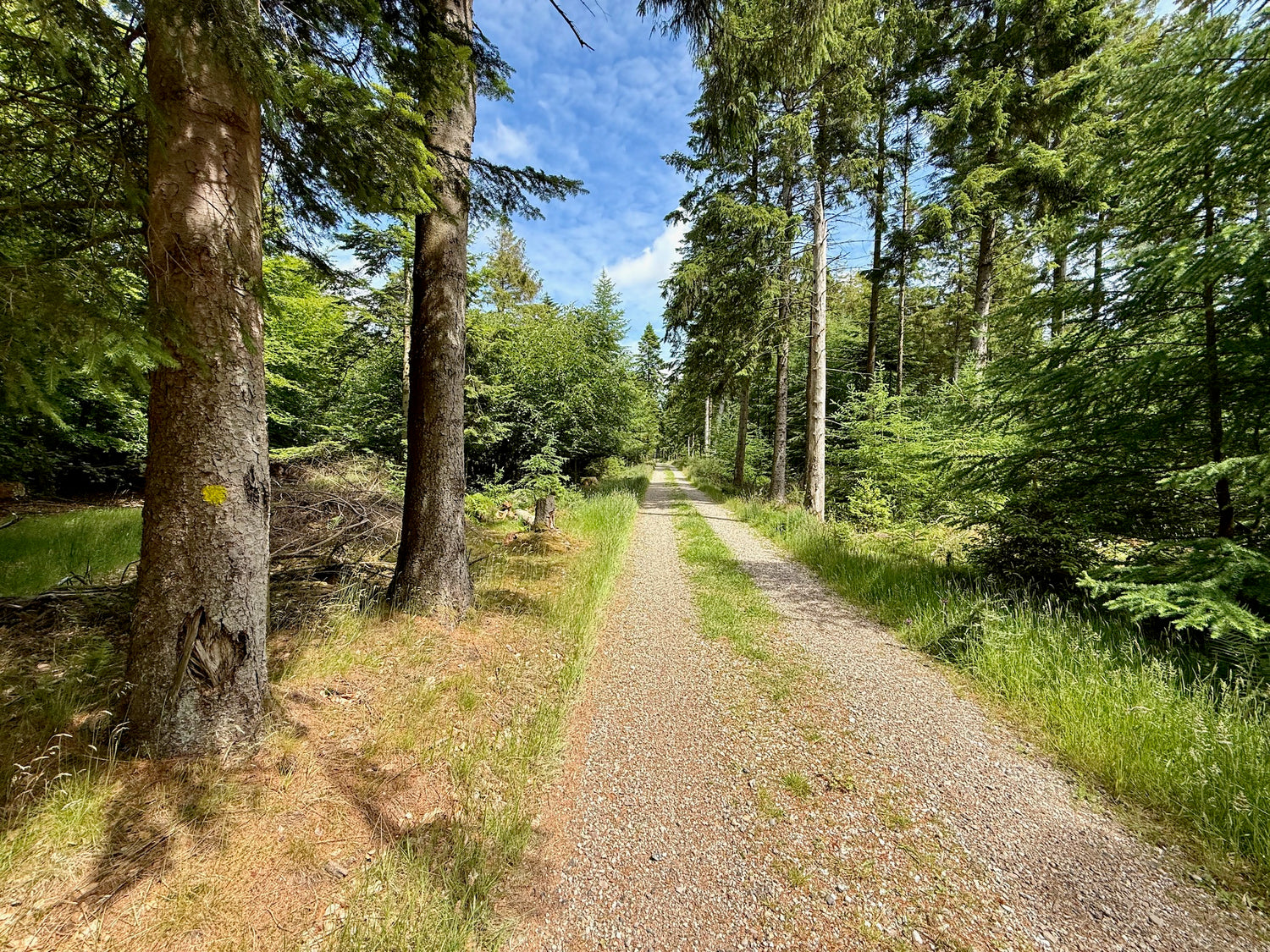
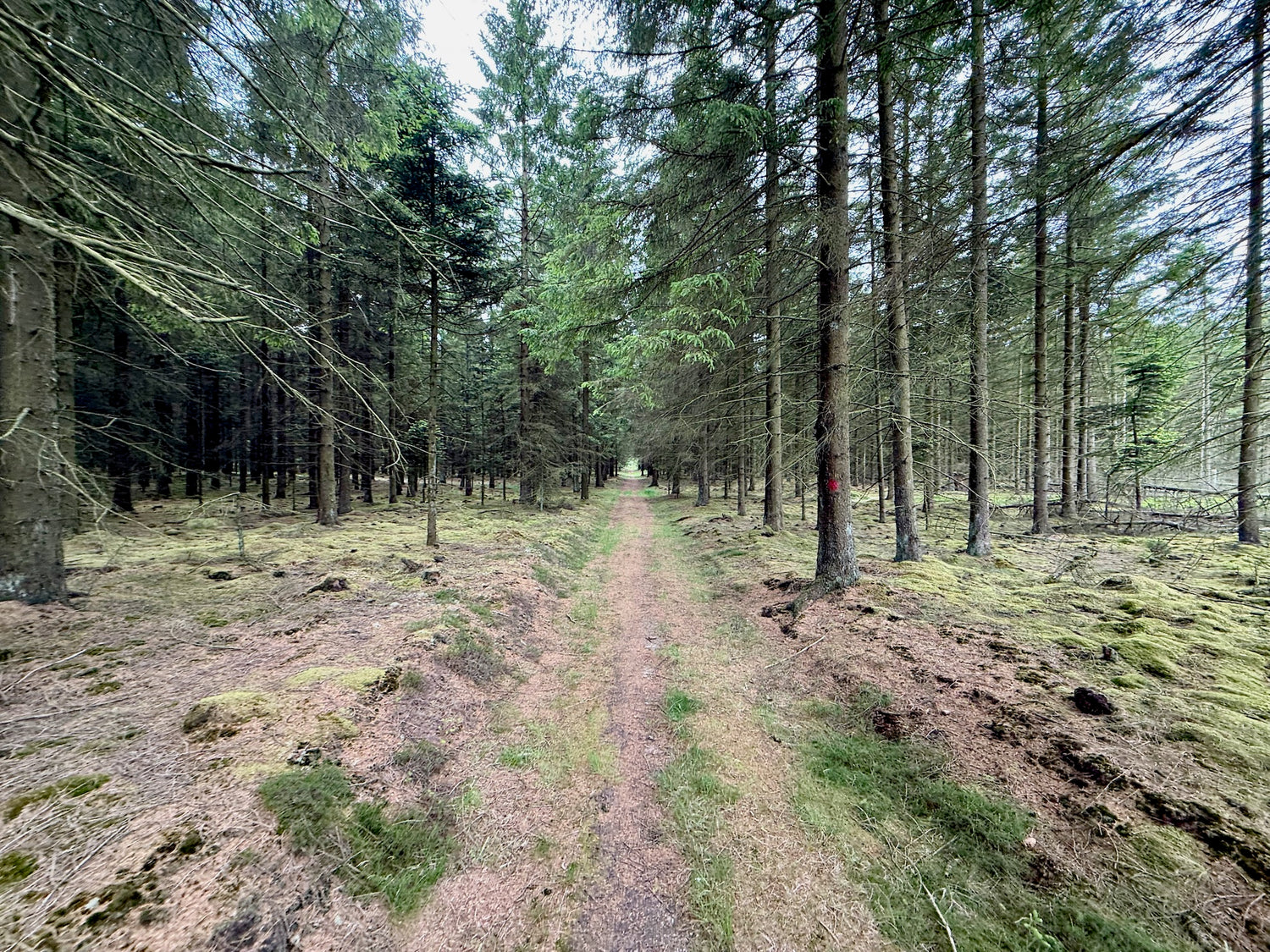
Møllevejturen
Møllevejturen is a versatile tour through the plantation, where you hike along both forest paths and through open landscapes. The tour gives you a wonderful nature experience in varied terrain.
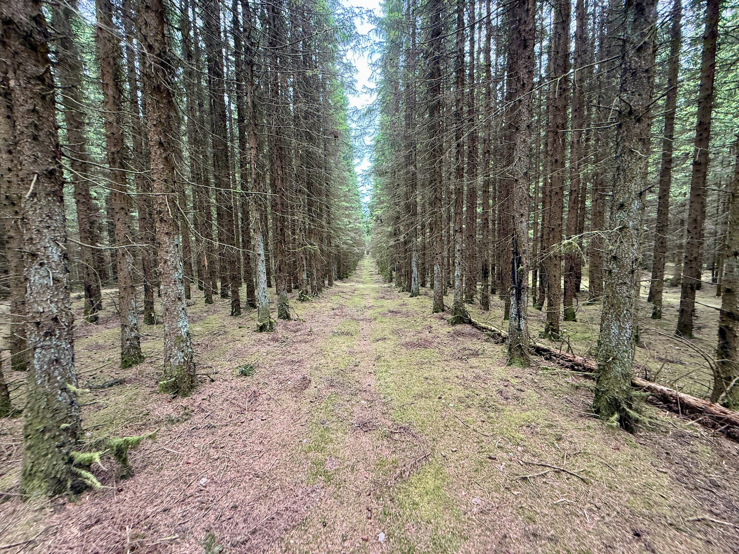
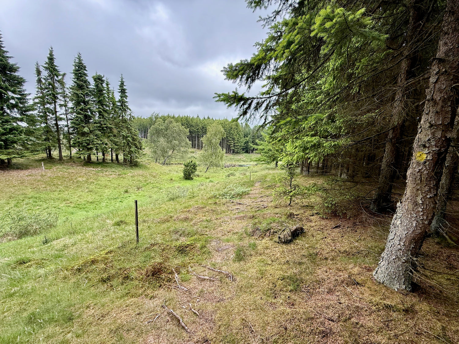
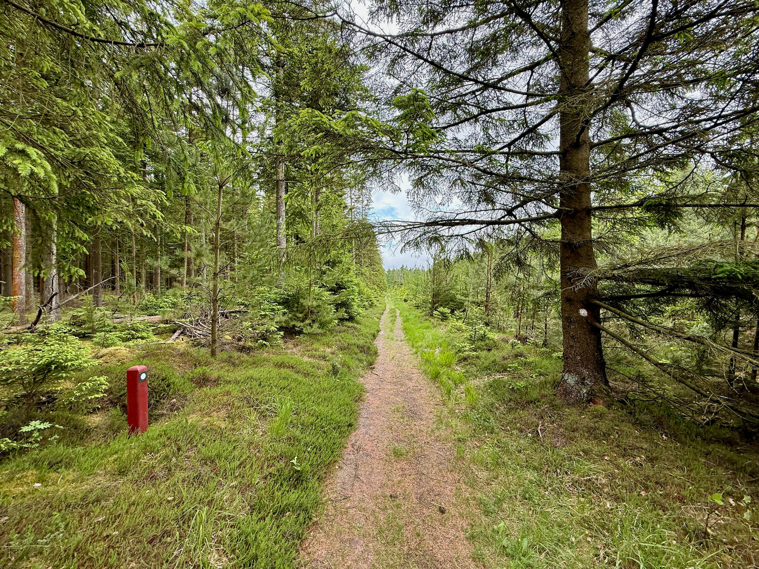
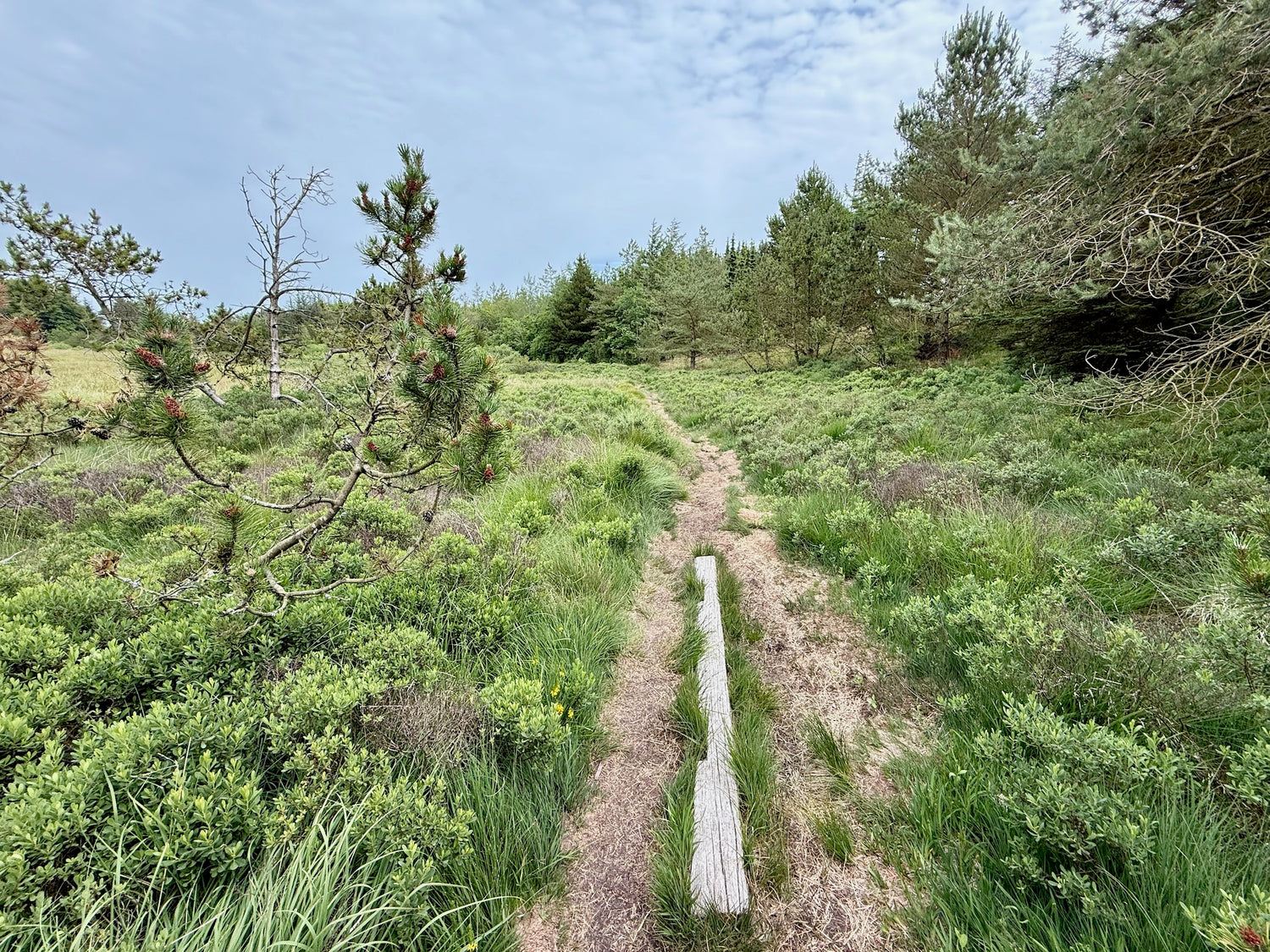
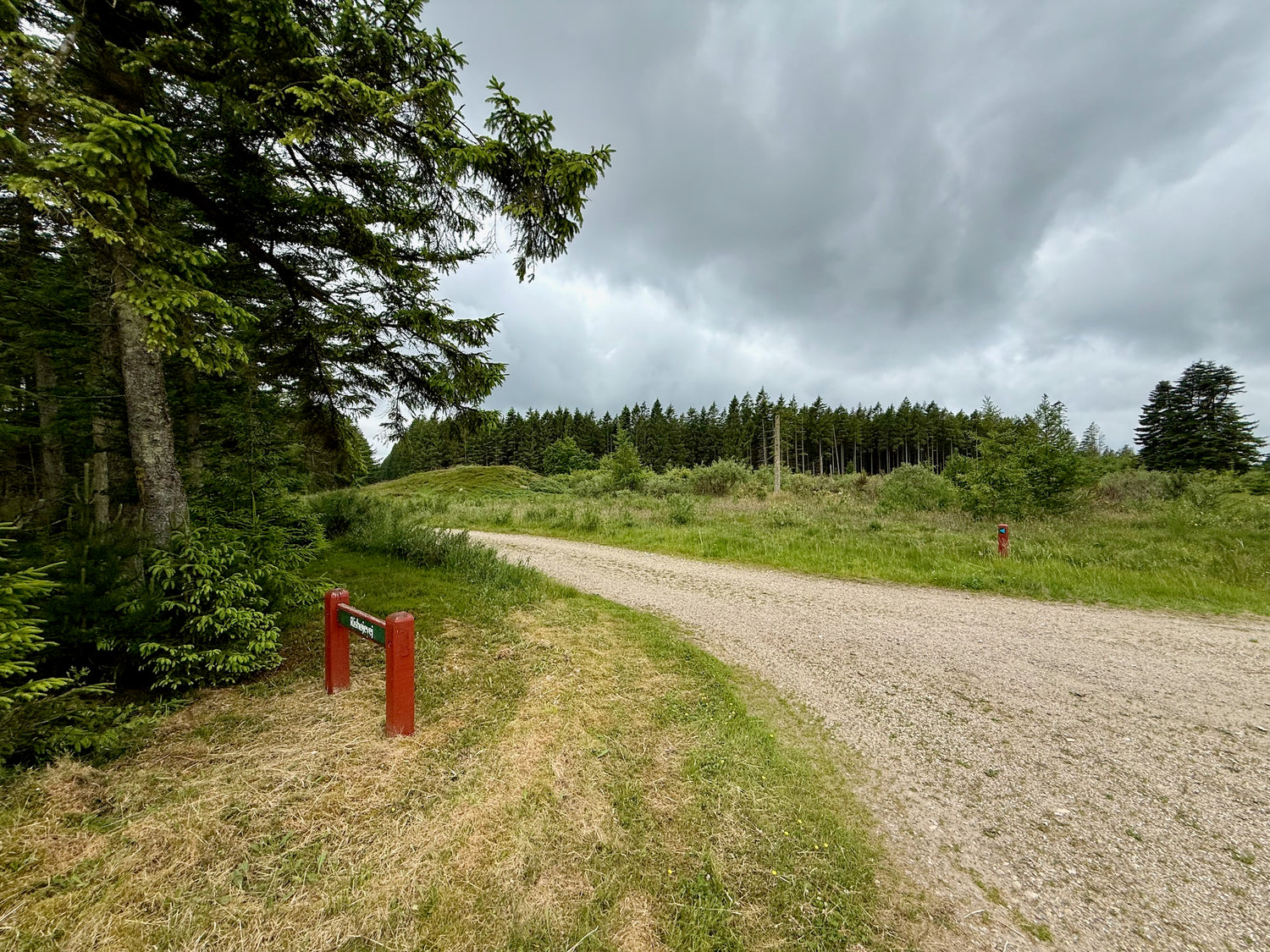
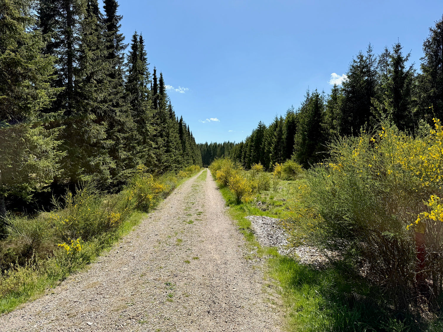
Rishøjturen 4 km
Early in the tour you pass Rishøje, a collection of distinctive hills surrounded by dense spruce forests near the Rishøje Fire Line. From here the route continues through the forest.
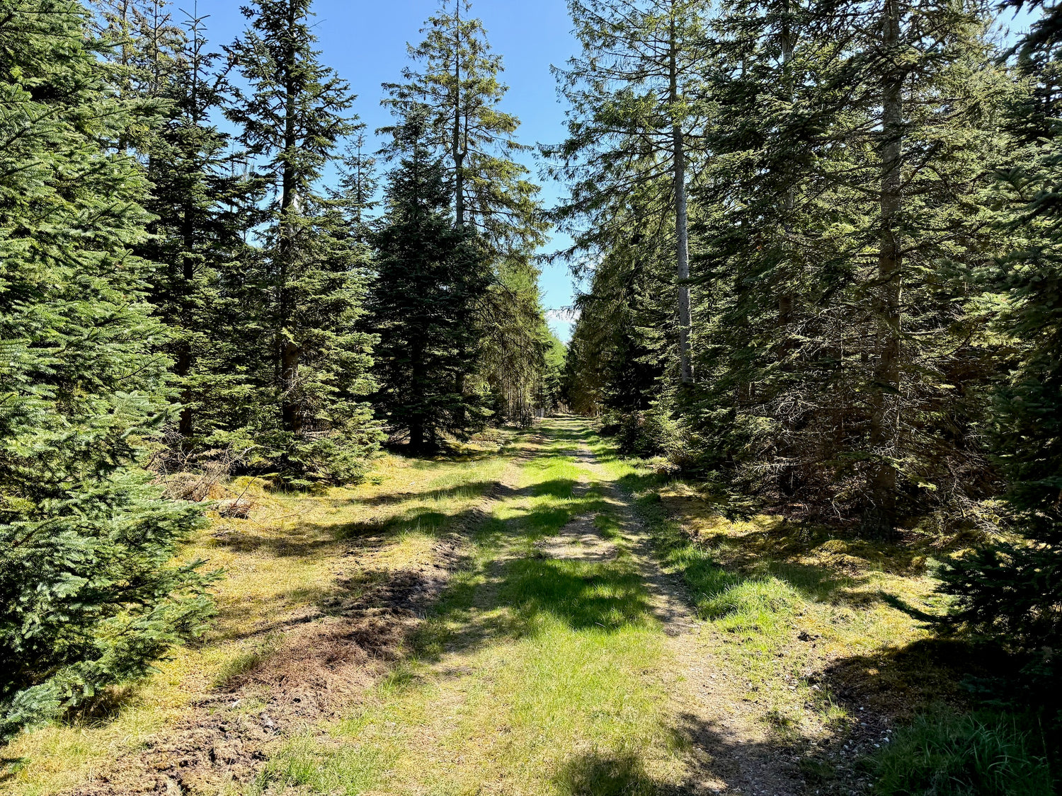
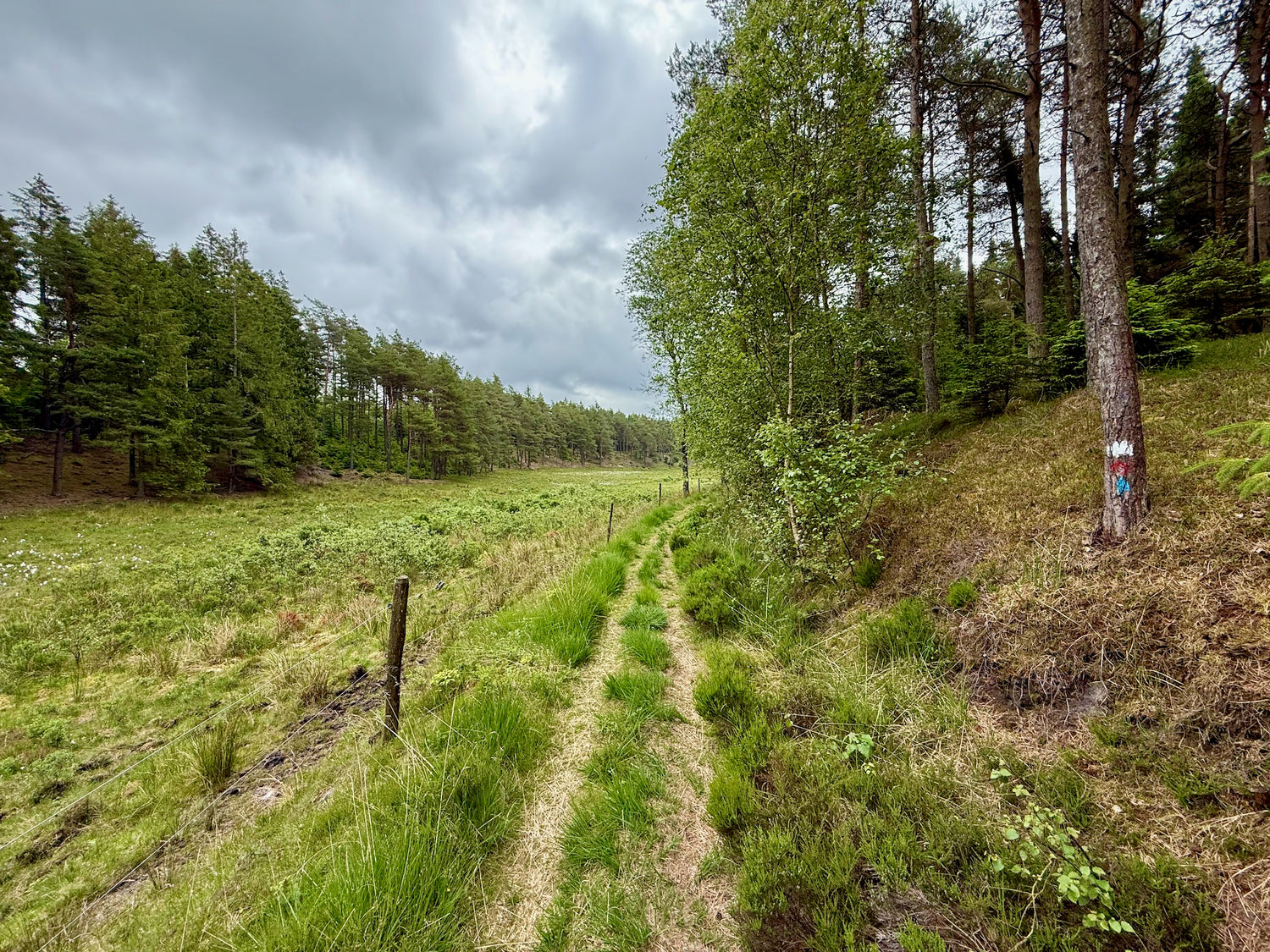
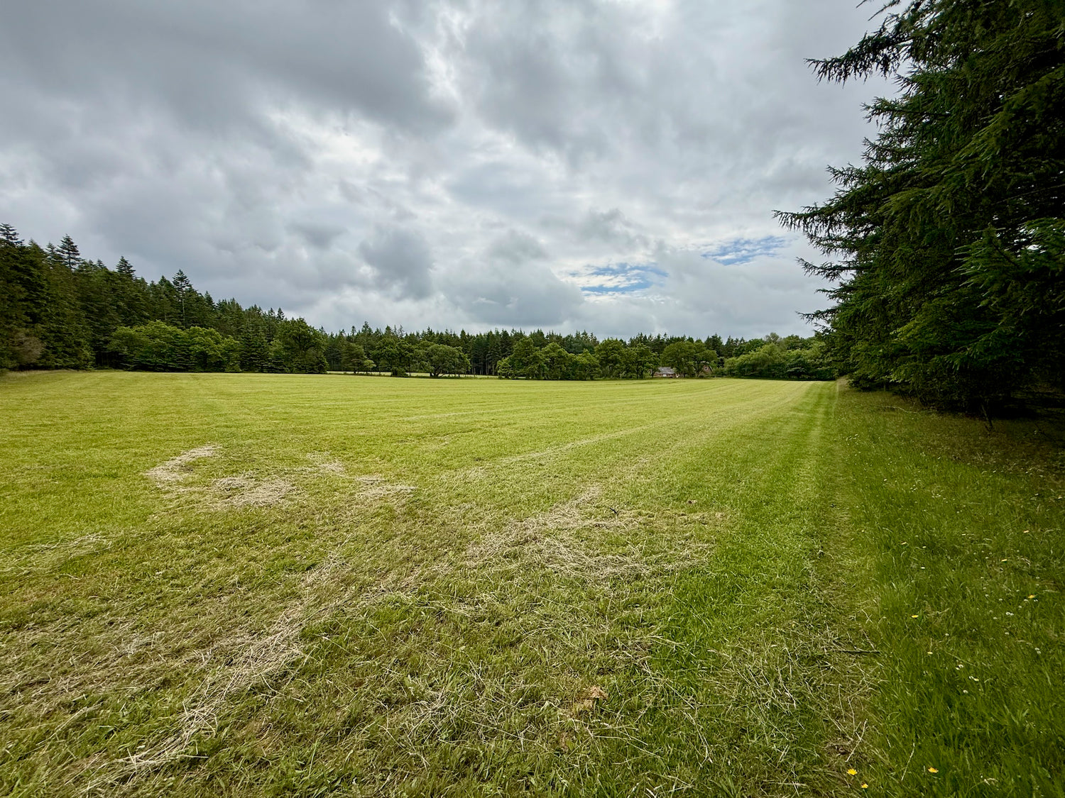
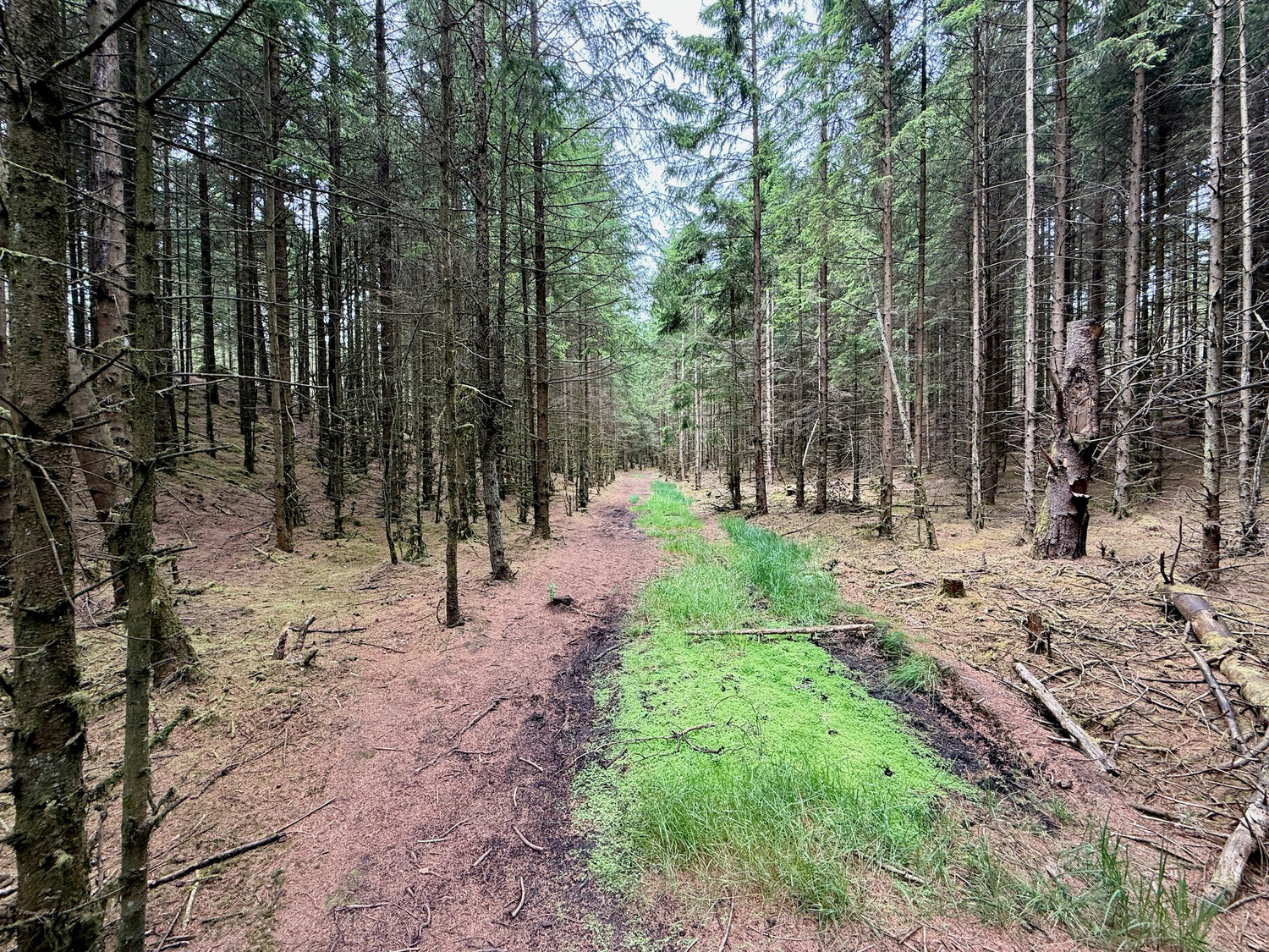
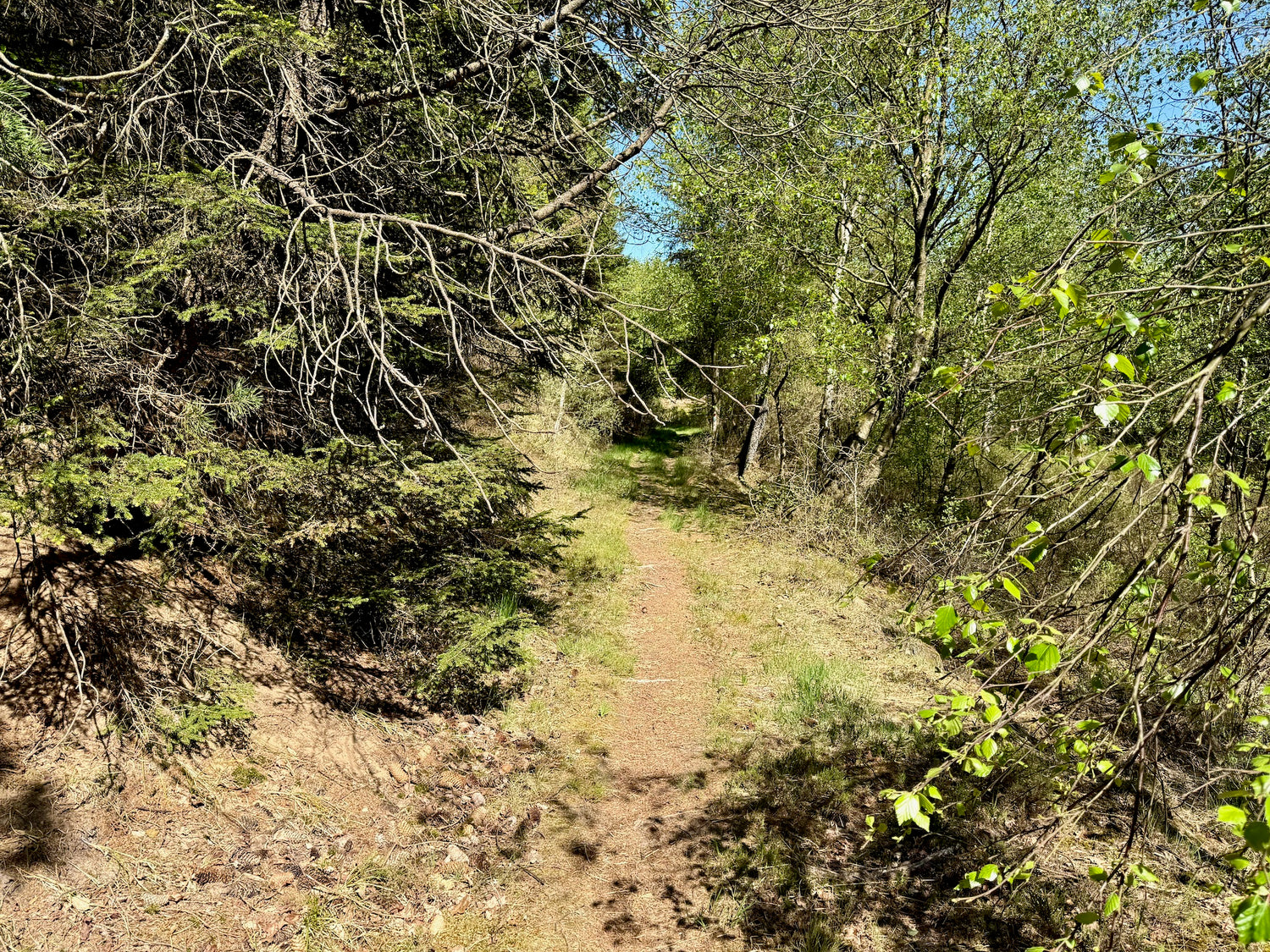
Knudsbækturen
You hike through the lush Knudsbæk valley in Klosterhede Plantation, where the plantation terrain alternates between forested ravines and small, open meadows along streams and depressions.
Ideal order of the paths
We recommend that you walk the hiking trails in the following order (or vice versa) to get the least possible transportation distance between the trails:
- Flynder Å turen 4,5 km
- Ellebækturen 4,2 km
- Kirkestien 4,2 km
- Møllevejturen 3,5 km
- Rishøjeturen 4 km
- Knudsbækturen 2,9 km
You can choose to skip paths so that the distance suits what you want to walk.
For example, if you want to walk 8.7 km, you start with Flynder Å turen and finish after Ellebækturen.
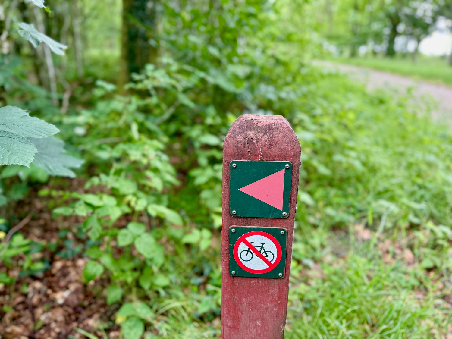
Please note:
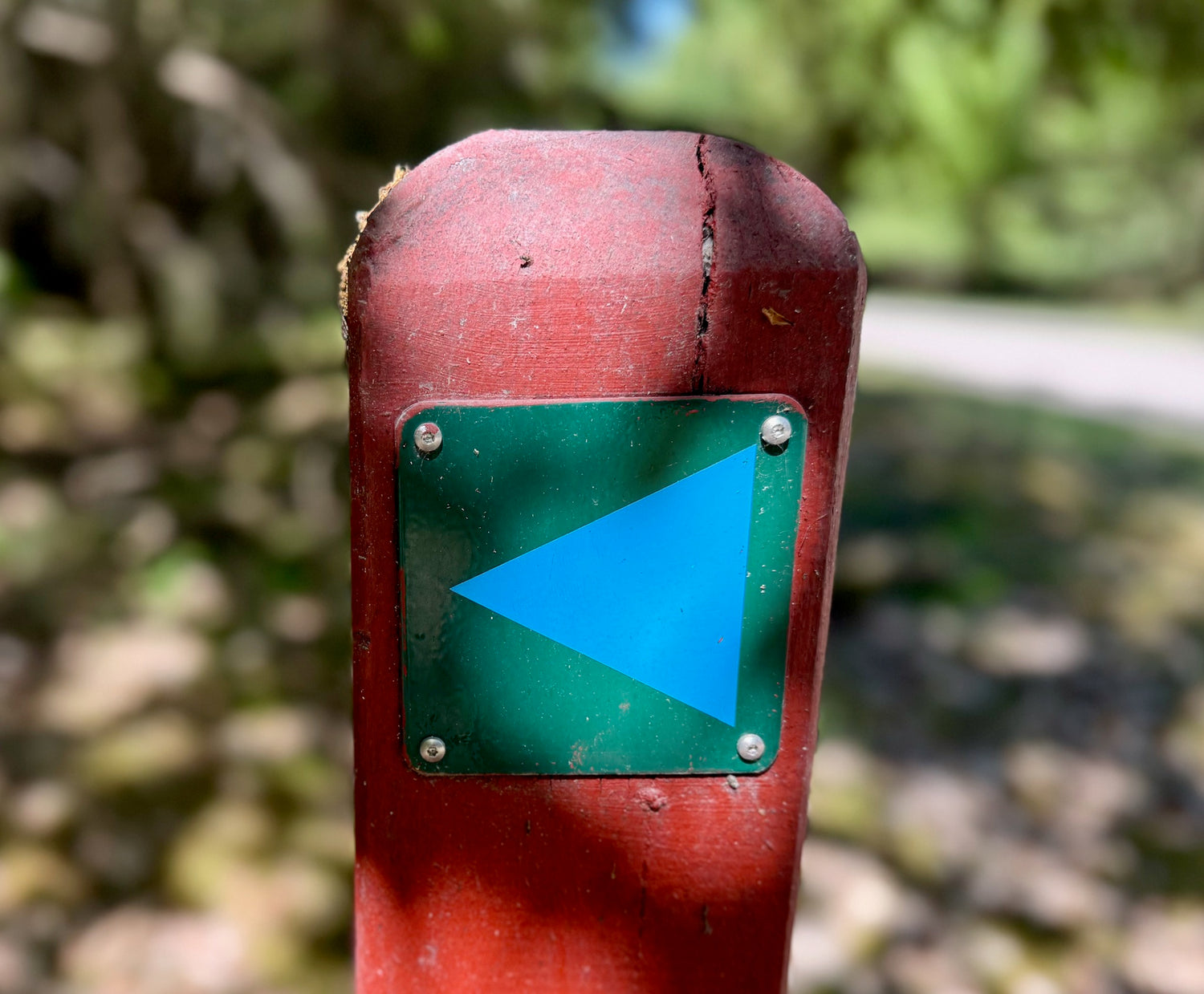
There is poor mobile phone coverage in large parts of the plantation. It is therefore a good idea to either print out the map or the leaflet from the route and bring it with you. It may also be a good idea to save a picture of the route on your mobile phone.
Experiences and sights
-
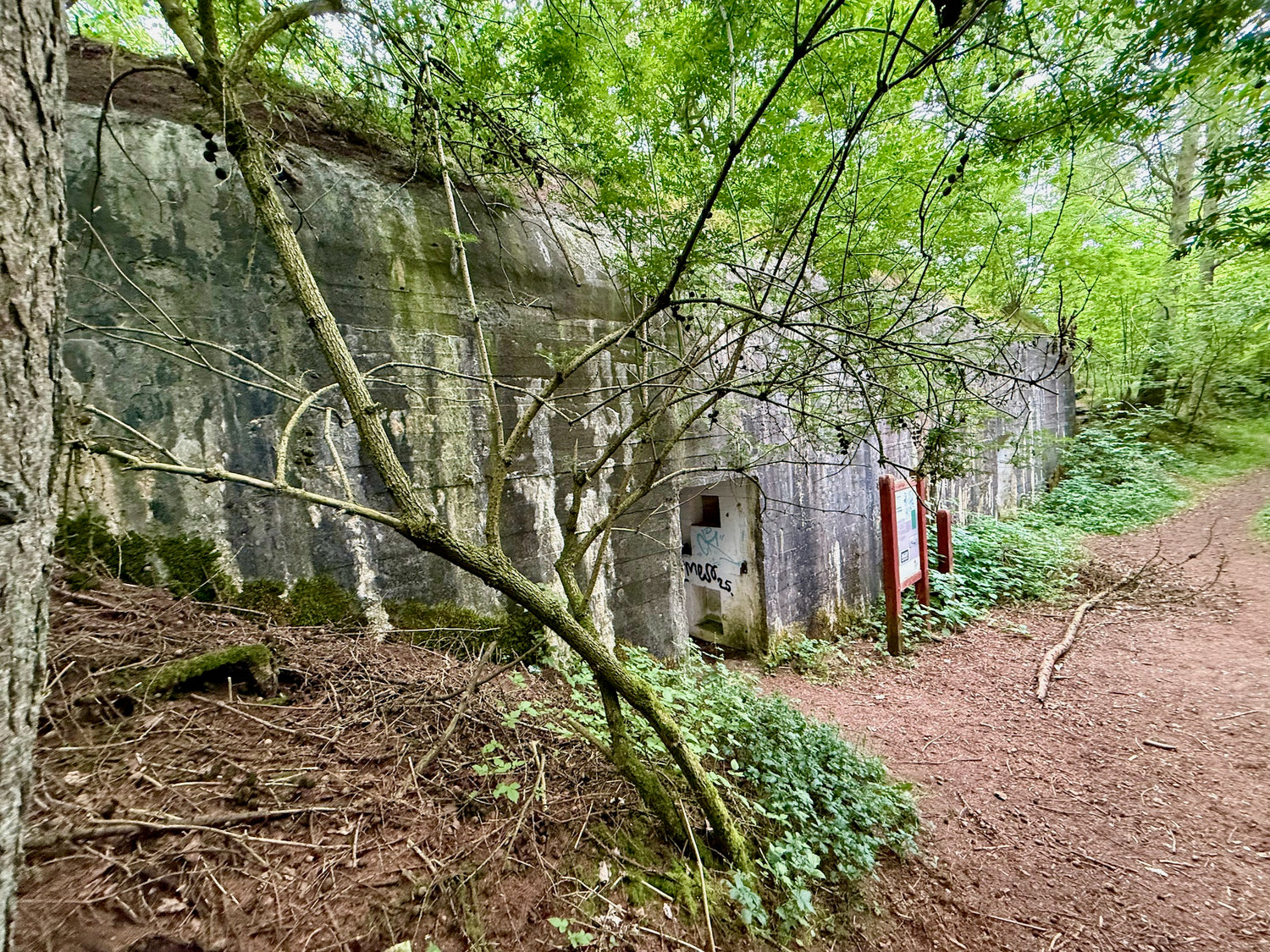
The Hospital Bunker
The Hospital Bunker is a large concrete bunker from World War II near Rome Airfield, which was built in 1943 by Danish contractors for the German Wehrmacht.
The bunker has two floors and measures 22.2 x 12.8 meters. It was intended to be used as a hospital during combat operations, but was never used. Visitors can see the bunker from the outside, where a plaque tells about its history and structure. -
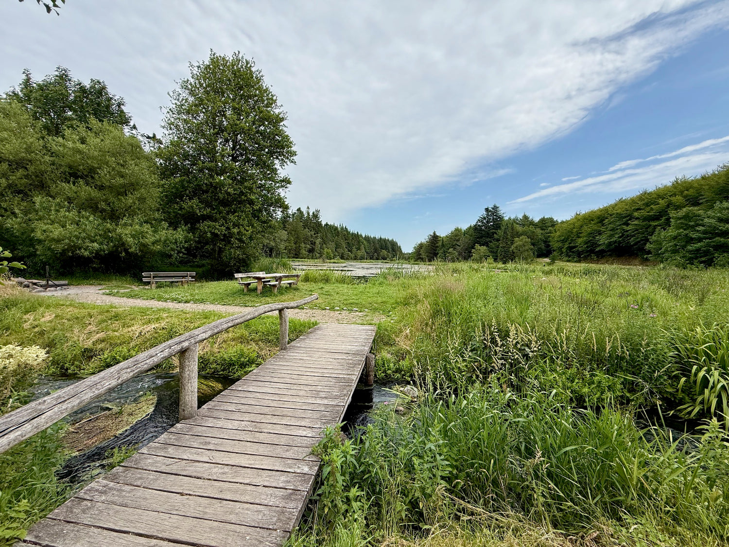
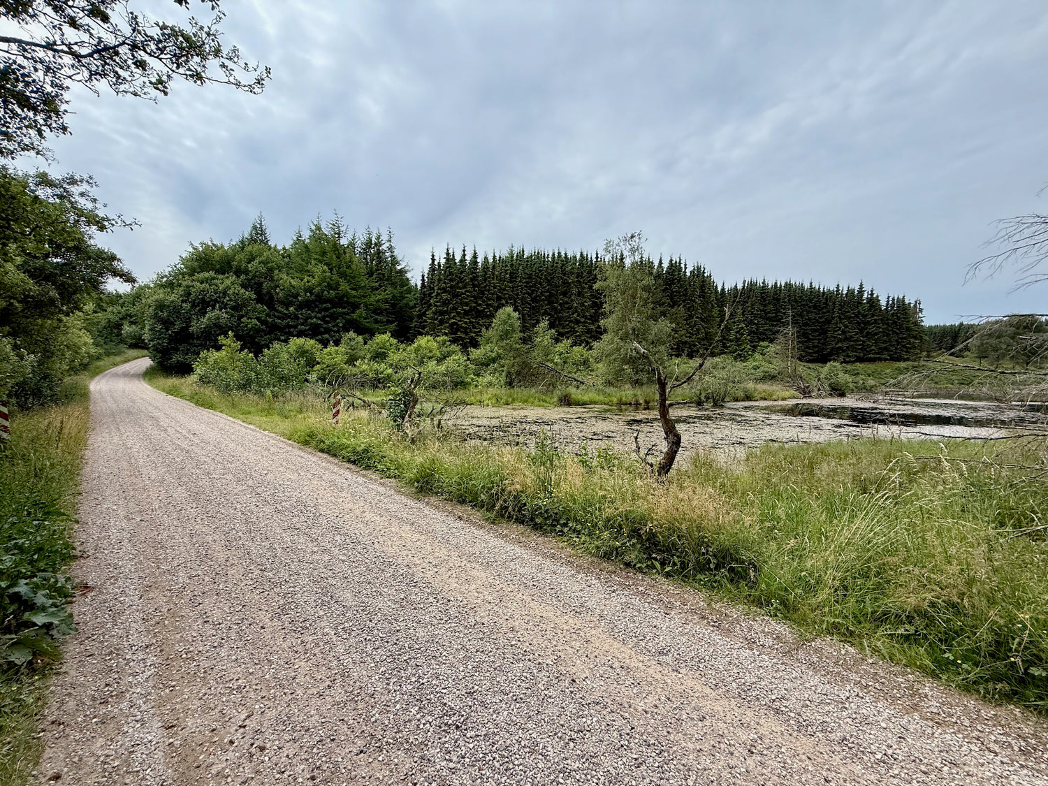
Møllesøen
Møllesøen (The Mill Lake) in Klosterhede Plantage is an idyllic forest lake, formed by restoration in 1977 after an old watermill burned down in 1889. The surroundings are lush and protected, ideal for peace and recreation.
The area is a hotspot for wildlife – especially beavers and waterfowl. There are benches, tables and a campfire site by the lake, and several scenic hiking trails start here. -
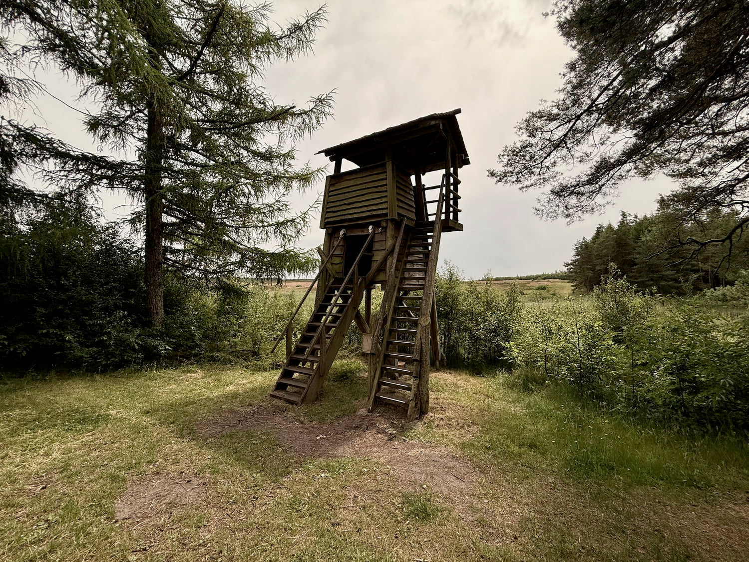
Bird tower
The bird tower in Klosterheden Plantage is located north of Ællebæksøerne along Jagtvej. The tower contains a 2-person shelter and is open to the rich birdlife, with a campfire site and table and bench set below.
From the tower there is a view of lakes, wetlands and forests, where you can observe birdlife in peace and quiet. The view gives a good overview of the varied landscape.


